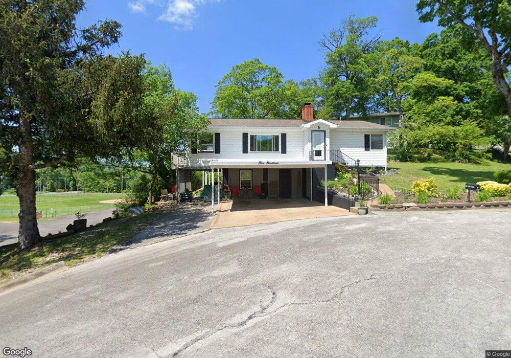
519 Cliff Dr Unit 3 Branson, MO 65616
Downtown Branson NeighborhoodEstimated Value: $260,000 - $292,000
2
Beds
2
Baths
1,337
Sq Ft
$210/Sq Ft
Est. Value
About This Home
This home is located at 519 Cliff Dr Unit 3, Branson, MO 65616 and is currently estimated at $280,262, approximately $209 per square foot. 519 Cliff Dr Unit 3 is a home located in Taney County with nearby schools including Cedar Ridge Primary, Cedar Ridge Intermediate School, and Cedar Ridge Elementary School.
Ownership History
Date
Name
Owned For
Owner Type
Purchase Details
Closed on
Oct 28, 2022
Sold by
Ternasky Gregory M and Ternasky Kim M
Bought by
Dillon Timothy R and Dillon Lori A
Current Estimated Value
Home Financials for this Owner
Home Financials are based on the most recent Mortgage that was taken out on this home.
Original Mortgage
$142,000
Outstanding Balance
$136,794
Interest Rate
6.02%
Mortgage Type
New Conventional
Estimated Equity
$143,468
Purchase Details
Closed on
Mar 3, 2017
Sold by
Cone Tracey Lee and Braun Tracey Lee
Bought by
Ternasky Gregory M and Ternasky Kim M
Purchase Details
Closed on
Jan 31, 2014
Sold by
Cone Charles W and Cone Carol Jane
Bought by
Braun Tracey Lee
Purchase Details
Closed on
Dec 22, 2005
Sold by
Lindstrom Steven K and Lindstrom Linda
Bought by
Miesner Dawn C
Create a Home Valuation Report for This Property
The Home Valuation Report is an in-depth analysis detailing your home's value as well as a comparison with similar homes in the area
Home Values in the Area
Average Home Value in this Area
Purchase History
| Date | Buyer | Sale Price | Title Company |
|---|---|---|---|
| Dillon Timothy R | -- | -- | |
| Ternasky Gregory M | -- | None Available | |
| Braun Tracey Lee | -- | None Available | |
| Miesner Dawn C | -- | -- |
Source: Public Records
Mortgage History
| Date | Status | Borrower | Loan Amount |
|---|---|---|---|
| Open | Dillon Timothy R | $142,000 |
Source: Public Records
Tax History Compared to Growth
Tax History
| Year | Tax Paid | Tax Assessment Tax Assessment Total Assessment is a certain percentage of the fair market value that is determined by local assessors to be the total taxable value of land and additions on the property. | Land | Improvement |
|---|---|---|---|---|
| 2025 | $845 | $14,480 | -- | -- |
| 2023 | $845 | $15,810 | $0 | $0 |
| 2022 | $822 | $15,810 | $0 | $0 |
| 2021 | $817 | $15,810 | $0 | $0 |
| 2019 | $764 | $14,180 | $0 | $0 |
| 2018 | $672 | $12,460 | $0 | $0 |
| 2017 | $666 | $12,460 | $0 | $0 |
| 2016 | $664 | $12,460 | $0 | $0 |
| 2015 | $658 | $12,460 | $0 | $0 |
| 2014 | $604 | $12,000 | $0 | $0 |
Source: Public Records
Map
Nearby Homes
- 405 Christopher Dr
- 410 Shore Ln
- 305 Cliff Dr
- 660 Ellison St
- 301 Lake Dr
- 610 Sunset Ln
- 118 W Hensley St Unit 1-D
- 808 Sunset Rd
- 707 S 3rd St
- 179 Wilshire Dr
- 110 Wilshire Dr Unit 12
- 130 Wilshire Dr Unit 34
- 130 Wilshire Dr Unit 32
- 418 S 5th St
- 120 Wilshire Dr Unit 24
- 170 Wilshire Dr Unit 83
- 411 S 3rd St
- 150 Wilshire Dr Unit 57
- 219 W Maddux St
- 300 S 6th St