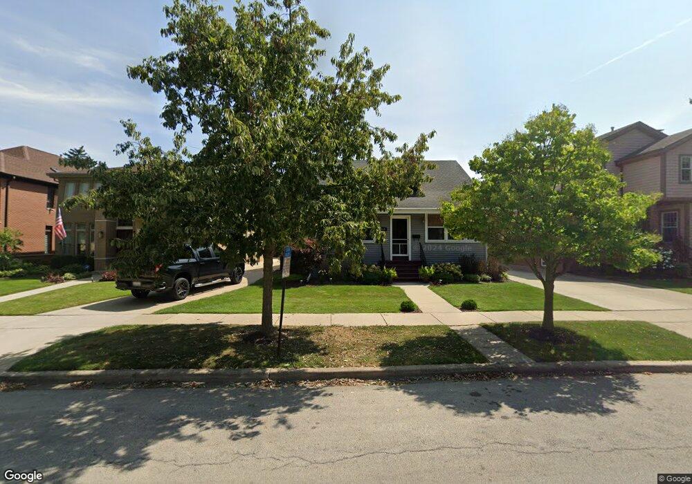
519 Courtland Ave Park Ridge, IL 60068
Estimated Value: $577,000 - $728,000
4
Beds
2
Baths
1,638
Sq Ft
$401/Sq Ft
Est. Value
About This Home
This home is located at 519 Courtland Ave, Park Ridge, IL 60068 and is currently estimated at $657,145, approximately $401 per square foot. 519 Courtland Ave is a home located in Cook County with nearby schools including Theodore Roosevelt Elementary School, Lincoln Middle School, and Maine South High School.
Ownership History
Date
Name
Owned For
Owner Type
Purchase Details
Closed on
Jan 23, 1994
Sold by
First Of America Bank Illinois Na
Bought by
Ogrady Michael J and Ogrady Kathryn A
Current Estimated Value
Home Financials for this Owner
Home Financials are based on the most recent Mortgage that was taken out on this home.
Original Mortgage
$190,000
Interest Rate
9.21%
Create a Home Valuation Report for This Property
The Home Valuation Report is an in-depth analysis detailing your home's value as well as a comparison with similar homes in the area
Home Values in the Area
Average Home Value in this Area
Purchase History
| Date | Buyer | Sale Price | Title Company |
|---|---|---|---|
| Ogrady Michael J | $237,500 | Attorneys Title Guaranty Fun |
Source: Public Records
Mortgage History
| Date | Status | Borrower | Loan Amount |
|---|---|---|---|
| Previous Owner | Ogrady Michael J | $190,000 |
Source: Public Records
Tax History Compared to Growth
Tax History
| Year | Tax Paid | Tax Assessment Tax Assessment Total Assessment is a certain percentage of the fair market value that is determined by local assessors to be the total taxable value of land and additions on the property. | Land | Improvement |
|---|---|---|---|---|
| 2024 | $12,942 | $51,000 | $15,555 | $35,445 |
| 2023 | $12,374 | $51,000 | $15,555 | $35,445 |
| 2022 | $12,374 | $51,000 | $15,555 | $35,445 |
| 2021 | $11,972 | $42,692 | $9,607 | $33,085 |
| 2020 | $11,563 | $42,692 | $9,607 | $33,085 |
| 2019 | $11,334 | $46,915 | $9,607 | $37,308 |
| 2018 | $9,354 | $36,122 | $8,235 | $27,887 |
| 2017 | $9,331 | $36,122 | $8,235 | $27,887 |
| 2016 | $9,226 | $36,122 | $8,235 | $27,887 |
| 2015 | $10,806 | $37,659 | $6,862 | $30,797 |
| 2014 | $10,609 | $37,659 | $6,862 | $30,797 |
| 2013 | $10,032 | $37,659 | $6,862 | $30,797 |
Source: Public Records
Map
Nearby Homes
- 623 S Prospect Ave
- 301 S Prospect Ave
- 718 S Washington Ave
- 316 S Fairview Ave
- 249 S Vine Ave Unit B
- 428 S Clifton Ave
- 819 Albion Ave
- 400 S Northwest Hwy Unit 312B
- 460 S Northwest Hwy Unit 307A
- 820 W Talcott Rd
- 6852 N Northwest Hwy Unit 2B
- 6858 N Northwest Hwy Unit 2E
- 6815 N Olmsted Ave Unit 203
- 6841 N Northwest Hwy Unit 3C
- 919 S Chester Ave
- 320 Grant Place
- 1016 Arthur St
- 170 N Northwest Hwy Unit 410
- 170 N Northwest Hwy Unit 407
- 1015 Arthur St
- 523 Courtland Ave
- 515 Courtland Ave
- 527 Courtland Ave
- 513 Courtland Ave
- 531 Courtland Ave
- 509 Courtland Ave
- 437 Stewart Ave
- 433 Stewart Ave
- 505 Courtland Ave
- 431 Stewart Ave
- 506 Belle Plaine Ave
- 445 Stewart Ave
- 506 Belleplaine Ave
- 449 Stewart Ave
- 520 Courtland Ave
- 516 Courtland Ave
- 512 Courtland Ave
- 524 Courtland Ave
- 508 Courtland Ave
- 526 Courtland Ave