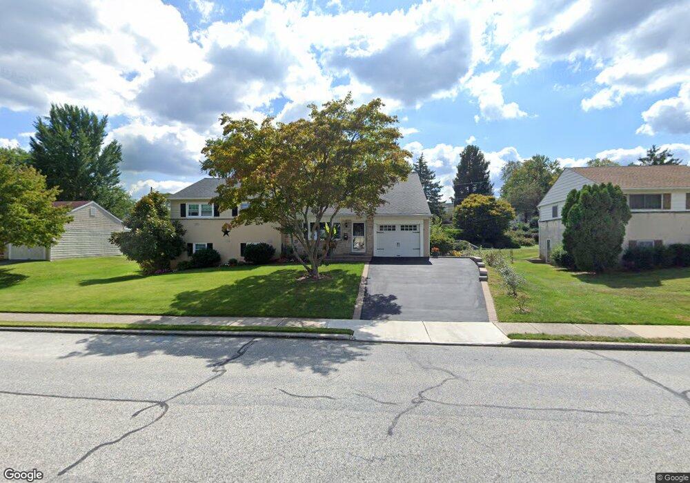
519 Crossfield Rd King of Prussia, PA 19406
Estimated Value: $544,000 - $700,401
4
Beds
2
Baths
2,540
Sq Ft
$254/Sq Ft
Est. Value
About This Home
This home is located at 519 Crossfield Rd, King of Prussia, PA 19406 and is currently estimated at $645,600, approximately $254 per square foot. 519 Crossfield Rd is a home located in Montgomery County with nearby schools including Candlebrook Elementary School, Upper Merion Middle School, and Upper Merion High School.
Ownership History
Date
Name
Owned For
Owner Type
Purchase Details
Closed on
Jul 20, 2009
Sold by
Symonds Rosemary
Bought by
Tornambee Lydia and Tornambee Joseph W
Current Estimated Value
Home Financials for this Owner
Home Financials are based on the most recent Mortgage that was taken out on this home.
Original Mortgage
$280,779
Outstanding Balance
$184,369
Interest Rate
5.43%
Estimated Equity
$461,231
Create a Home Valuation Report for This Property
The Home Valuation Report is an in-depth analysis detailing your home's value as well as a comparison with similar homes in the area
Home Values in the Area
Average Home Value in this Area
Purchase History
| Date | Buyer | Sale Price | Title Company |
|---|---|---|---|
| Tornambee Lydia | $286,000 | None Available |
Source: Public Records
Mortgage History
| Date | Status | Borrower | Loan Amount |
|---|---|---|---|
| Open | Tornambee Lydia | $280,779 |
Source: Public Records
Tax History Compared to Growth
Tax History
| Year | Tax Paid | Tax Assessment Tax Assessment Total Assessment is a certain percentage of the fair market value that is determined by local assessors to be the total taxable value of land and additions on the property. | Land | Improvement |
|---|---|---|---|---|
| 2025 | $5,749 | $186,530 | -- | -- |
| 2024 | $5,749 | $186,530 | -- | -- |
| 2023 | $5,545 | $186,530 | $0 | $0 |
| 2022 | $5,307 | $186,530 | $0 | $0 |
| 2021 | $5,143 | $186,530 | $0 | $0 |
| 2020 | $4,915 | $186,530 | $0 | $0 |
| 2019 | $3,925 | $186,530 | $0 | $0 |
| 2018 | $4,831 | $186,530 | $0 | $0 |
| 2017 | $4,657 | $186,530 | $0 | $0 |
| 2016 | $4,585 | $186,530 | $0 | $0 |
| 2015 | $4,416 | $186,530 | $0 | $0 |
| 2014 | $4,416 | $157,950 | $59,550 | $98,400 |
Source: Public Records
Map
Nearby Homes
- 610 Charles Dr
- 418 Springhouse Rd
- 391 Prince Frederick St
- 501 W Dekalb Pike
- 413 Brandywine Ln
- 338 Rees Dr
- 227 Crossfield Rd
- 625 W Valley Forge Rd
- 245 Chapel Ln Unit 80B
- 300 Independence Rd
- 251 Chapel Ln Unit 83B
- 243 Chapel Ln Unit 79A
- 545 Kingwood Rd
- 422 Bluebuff Rd
- 191 Gunport Rd
- 612 Brewster Alley Unit 74
- 108 Anderson Rd
- 137 River Trail Cir Unit 19
- 243 Jasper Rd
- 735 Champlain Dr
- 527 Crossfield Rd
- 511 Crossfield Rd
- 519 Charles Dr
- 527 Charles Dr
- 511 Charles Dr
- 503 Crossfield Rd
- 535 Charles Dr
- 516 Crossfield Rd
- 522 James St
- 503 Charles Dr
- 543 Crossfield Rd
- 508 Crossfield Rd
- 530 Crossfield Rd
- 543 Charles Dr
- 500 Crossfield Rd
- 538 Crossfield Rd
- 553 Crossfield Rd
- 400 James St
- 553 Charles Dr