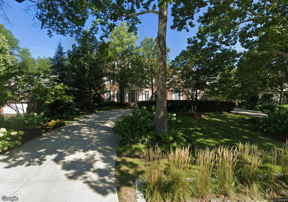
519 E 7th St Hinsdale, IL 60521
South Hinsdale NeighborhoodEstimated Value: $2,179,000 - $3,035,000
7
Beds
6
Baths
6,662
Sq Ft
$395/Sq Ft
Est. Value
About This Home
This home is located at 519 E 7th St, Hinsdale, IL 60521 and is currently estimated at $2,634,333, approximately $395 per square foot. 519 E 7th St is a home located in Cook County with nearby schools including Oak Elementary School, Hinsdale Middle School, and Hinsdale Central High School.
Ownership History
Date
Name
Owned For
Owner Type
Purchase Details
Closed on
Aug 24, 2010
Sold by
Anderson Kathy B
Bought by
Anderson Kathy B and Anderson Residence Trust
Current Estimated Value
Purchase Details
Closed on
Aug 11, 2008
Sold by
Anderson Kathy B and Anderson Samuel W
Bought by
Anderson Kathy B and Kathy B Anderson Revocable Trust
Purchase Details
Closed on
Sep 29, 1998
Sold by
Standard Bank & Trust Company
Bought by
Anderson Samuel W and Anderson Kathy B
Purchase Details
Closed on
Nov 1, 1996
Sold by
Delaney Walter J and Delaney Diane M
Bought by
Standard Bank & Trust Company and Trust #13965
Create a Home Valuation Report for This Property
The Home Valuation Report is an in-depth analysis detailing your home's value as well as a comparison with similar homes in the area
Home Values in the Area
Average Home Value in this Area
Purchase History
| Date | Buyer | Sale Price | Title Company |
|---|---|---|---|
| Anderson Kathy B | -- | None Available | |
| Anderson Kathy B | -- | None Available | |
| Anderson Samuel W | $115,000 | -- | |
| Standard Bank & Trust Company | -- | -- |
Source: Public Records
Tax History Compared to Growth
Tax History
| Year | Tax Paid | Tax Assessment Tax Assessment Total Assessment is a certain percentage of the fair market value that is determined by local assessors to be the total taxable value of land and additions on the property. | Land | Improvement |
|---|---|---|---|---|
| 2024 | $45,756 | $227,000 | $27,675 | $199,325 |
| 2023 | $52,083 | $227,000 | $27,675 | $199,325 |
| 2022 | $52,083 | $226,958 | $24,088 | $202,870 |
| 2021 | $51,888 | $226,956 | $24,087 | $202,869 |
| 2020 | $51,246 | $226,956 | $24,087 | $202,869 |
| 2019 | $50,207 | $228,384 | $22,037 | $206,347 |
| 2018 | $47,507 | $228,384 | $22,037 | $206,347 |
| 2017 | $46,099 | $228,384 | $22,037 | $206,347 |
| 2016 | $44,862 | $199,249 | $18,962 | $180,287 |
| 2015 | $43,668 | $199,249 | $18,962 | $180,287 |
| 2014 | $43,707 | $199,249 | $18,962 | $180,287 |
| 2013 | $50,255 | $231,094 | $18,962 | $212,132 |
Source: Public Records
Map
Nearby Homes
- 522 Pamela Cir
- 705 E 3rd St
- 565 Hannah Ln Unit 712
- 567 Hannah Ln
- 930 Harding Rd
- 5531 Barton Ln
- 910 S Park Ave
- 133 S Park Ave
- 3 Orchard Place
- 13 S Elm St
- 6 S Elm St
- 946 S Garfield St
- 11S110 LOT Madison St
- 5603 S Garfield St
- 28 E 55th St
- 24 S Washington Cir
- 320 Claymoor Unit 2D
- 5406 Grand Ave
- 5329 Grand Ave
- 317 E Walnut St
- 529 E 7th St
- 511 E 7th St
- 633 S County Line Rd
- 541 E 7th St
- 700 Cleveland Rd
- 635 S County Line Rd
- 540 Dalewood Ln
- 701 S County Line Rd
- 546 Dalewood Ln
- 625 S County Line Rd
- 549 E 7th St
- 714 Cleveland Rd
- 544 E 7th St
- 711 S County Line Rd
- 582 Dalewood Ln
- 711 Cleveland Rd
- 611 S County Line Rd
- 722 Cleveland Rd
- 719 S County Line Rd
- 644 S County Line Rd