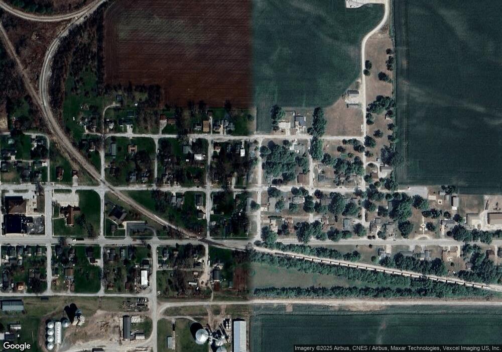
519 E Oneida St La Crosse, IN 46348
Estimated Value: $147,837 - $200,000
4
Beds
1
Bath
1,771
Sq Ft
$96/Sq Ft
Est. Value
About This Home
This home is located at 519 E Oneida St, La Crosse, IN 46348 and is currently estimated at $170,709, approximately $96 per square foot. 519 E Oneida St is a home located in LaPorte County.
Ownership History
Date
Name
Owned For
Owner Type
Purchase Details
Closed on
Jul 22, 2015
Sold by
Linn Susan J
Bought by
Logan Kimberly A
Current Estimated Value
Purchase Details
Closed on
Dec 15, 2010
Sold by
American Mutual Lp
Bought by
Linn Susan J and Logan Kimberly A
Purchase Details
Closed on
Aug 24, 2010
Sold by
Mac/Crescent #2 Llc
Bought by
American Mutual Lp
Purchase Details
Closed on
Apr 22, 2008
Sold by
The Bank Of New York Trust Company N A
Bought by
Mac/Crescent #2 Llc
Purchase Details
Closed on
Sep 14, 2007
Sold by
Schlundt Jacalyn
Bought by
The Bank Of New York Trust Co Na and Jpmorgan Chase Bank
Create a Home Valuation Report for This Property
The Home Valuation Report is an in-depth analysis detailing your home's value as well as a comparison with similar homes in the area
Purchase History
| Date | Buyer | Sale Price | Title Company |
|---|---|---|---|
| Logan Kimberly A | -- | None Available | |
| Linn Susan J | -- | Professionals Title Svcs Llc | |
| American Mutual Lp | $1,000 | Professional Title Services | |
| Mac/Crescent #2 Llc | -- | Professionals Title Service | |
| The Bank Of New York Trust Co Na | $72,250 | None Available |
Source: Public Records
Tax History Compared to Growth
Tax History
| Year | Tax Paid | Tax Assessment Tax Assessment Total Assessment is a certain percentage of the fair market value that is determined by local assessors to be the total taxable value of land and additions on the property. | Land | Improvement |
|---|---|---|---|---|
| 2025 | $2,594 | $85,200 | $14,200 | $71,000 |
| 2024 | $1,536 | $84,600 | $14,200 | $70,400 |
| 2022 | $915 | $91,500 | $14,200 | $77,300 |
| 2021 | $861 | $86,100 | $14,200 | $71,900 |
| 2020 | $832 | $86,100 | $14,200 | $71,900 |
| 2019 | $769 | $75,500 | $10,000 | $65,500 |
| 2018 | $814 | $79,000 | $12,300 | $66,700 |
| 2017 | $720 | $75,400 | $11,000 | $64,400 |
| 2016 | $735 | $77,900 | $11,000 | $66,900 |
| 2014 | $540 | $63,000 | $10,900 | $52,100 |
| 2013 | $1,168 | $63,900 | $8,800 | $55,100 |
Source: Public Records
Map
Nearby Homes
- 601 E Main St
- 10 N Michigan St
- 202 Genesse St
- 14233 S 1050 W
- 14244 S 1050 W
- 456 E 400 S
- 0-Lot B4-5 St Road 8
- 0-Lot B6-7 State Road 8
- 0-B1-3 State Road 8
- 530 S 300 E
- 5995 W 500 S
- 0 Vanessa Way Unit GNR544729
- 0 Sharyn St Unit GNR544743
- 0 Sharyn St Unit GNR544737
- 0 Sharyn St Unit GNR544741
- 5895 W 500 S
- 548 E 1400 S
- 204 N Main St
- 13956 S 550 W
- 201 Will St
- 507 E Oneida St
- 601 E Oneida St
- 518 E Dominic St
- 506 E Dominic St
- 18 Livingston St
- 501 E Oneida St
- 601 E Oneida St
- 514 E Oneida St
- 504 E Dominic St
- 504 E Dominic St
- 502 E Oneida St
- 19 Livingston St
- 502 E Dominic St
- 619 E Oneida St
- 519 E Main St
- 507 E Main St
- 507 E Dominic St
- 118 Pontiac St
- 501 E Dominic St
- 18 Pontiac St
