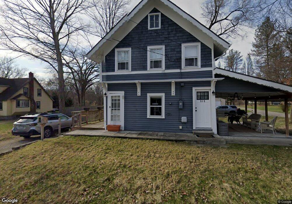
519 Franklin St Unit Bldg-Unit Brighton, MI 48116
Estimated Value: $286,086 - $324,000
3
Beds
2
Baths
1,120
Sq Ft
$274/Sq Ft
Est. Value
About This Home
This home is located at 519 Franklin St Unit Bldg-Unit, Brighton, MI 48116 and is currently estimated at $307,272, approximately $274 per square foot. 519 Franklin St Unit Bldg-Unit is a home located in Livingston County with nearby schools including Hornung Elementary School, Scranton Middle School, and Brighton High School.
Ownership History
Date
Name
Owned For
Owner Type
Purchase Details
Closed on
Apr 5, 2021
Sold by
Martin Glenn
Bought by
Luketic Evan and Luketic Amy
Current Estimated Value
Purchase Details
Closed on
Sep 5, 2018
Sold by
Bonner Properties Llc
Bought by
Martin Glenn
Purchase Details
Closed on
Feb 22, 2018
Sold by
T Leon
Bought by
Bonner Properties Llc
Purchase Details
Closed on
Jun 30, 2017
Sold by
Bonner Leon V and Bonner Jesse
Bought by
Bonner Leon V and Bonner Jesse
Create a Home Valuation Report for This Property
The Home Valuation Report is an in-depth analysis detailing your home's value as well as a comparison with similar homes in the area
Home Values in the Area
Average Home Value in this Area
Purchase History
| Date | Buyer | Sale Price | Title Company |
|---|---|---|---|
| Luketic Evan | $235,000 | Liberty Title | |
| Martin Glenn | $85,000 | -- | |
| Bonner Properties Llc | -- | -- | |
| Bonner Leon V | -- | None Available |
Source: Public Records
Tax History
| Year | Tax Paid | Tax Assessment Tax Assessment Total Assessment is a certain percentage of the fair market value that is determined by local assessors to be the total taxable value of land and additions on the property. | Land | Improvement |
|---|---|---|---|---|
| 2025 | $4,050 | $116,400 | $0 | $0 |
| 2024 | $3,935 | $90,600 | $0 | $0 |
| 2023 | $2,368 | $87,000 | $0 | $0 |
| 2022 | $2,782 | $49,200 | $0 | $0 |
| 2021 | $2,159 | $69,400 | $0 | $0 |
| 2020 | $3,220 | $59,900 | $0 | $0 |
| 2019 | $3,113 | $49,200 | $0 | $0 |
| 2018 | $1,995 | $43,900 | $0 | $0 |
| 2017 | $1,778 | $43,600 | $0 | $0 |
| 2016 | $2,408 | $40,800 | $0 | $0 |
| 2014 | $2,115 | $35,270 | $0 | $0 |
| 2012 | $2,115 | $31,060 | $0 | $0 |
Source: Public Records
Map
Nearby Homes
- 224 S 2nd St
- 109 S 2nd St Unit 17
- 302 N 2nd St Unit 5
- 525 Walnut St
- 523 Walnut St
- 870 Alpine Dr
- 306 Pineknoll Ct Unit 4
- 1010 Oak Ridge Cir
- 224 Sean St
- 119 Pondview Ct Unit 9
- 210 Sisu Knoll Dr
- 584 Anne Ave
- 605 Jenny Way Unit 12
- 594 Anne Ave
- 970 Ridge Ct
- 8185 Carston Ln
- 7608 Brookdale Ct Unit 81
- 660 Flint Rd
- 1016 Pinewood Ct Unit 48
- 220 Hillcrest Ave
Your Personal Tour Guide
Ask me questions while you tour the home.