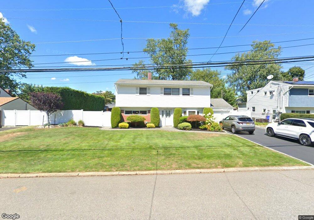
519 Gwynn St Babylon, NY 11702
Estimated Value: $605,779 - $716,000
--
Bed
1
Bath
1,405
Sq Ft
$485/Sq Ft
Est. Value
About This Home
This home is located at 519 Gwynn St, Babylon, NY 11702 and is currently estimated at $681,945, approximately $485 per square foot. 519 Gwynn St is a home located in Suffolk County with nearby schools including Babylon Elementary School, Babylon Memorial Grade School, and Babylon High School.
Ownership History
Date
Name
Owned For
Owner Type
Purchase Details
Closed on
May 29, 2009
Sold by
Ricciardi Susanna and Loeber Karen B
Bought by
Loeber Susanna and Ricciardi Susanna
Current Estimated Value
Home Financials for this Owner
Home Financials are based on the most recent Mortgage that was taken out on this home.
Original Mortgage
$61,608
Interest Rate
4.82%
Mortgage Type
Purchase Money Mortgage
Purchase Details
Closed on
May 11, 2005
Sold by
Henzi Barbara
Bought by
Ricciardi Susanna
Purchase Details
Closed on
Sep 18, 1998
Sold by
Henzi James A and Henzi Barbara
Bought by
Henzi Barbara
Create a Home Valuation Report for This Property
The Home Valuation Report is an in-depth analysis detailing your home's value as well as a comparison with similar homes in the area
Home Values in the Area
Average Home Value in this Area
Purchase History
| Date | Buyer | Sale Price | Title Company |
|---|---|---|---|
| Loeber Susanna | $45,000 | -- | |
| Ricciardi Susanna | $388,000 | Michele Messina | |
| Henzi Barbara | -- | -- |
Source: Public Records
Mortgage History
| Date | Status | Borrower | Loan Amount |
|---|---|---|---|
| Previous Owner | Loeber Susanna | $61,608 |
Source: Public Records
Tax History Compared to Growth
Tax History
| Year | Tax Paid | Tax Assessment Tax Assessment Total Assessment is a certain percentage of the fair market value that is determined by local assessors to be the total taxable value of land and additions on the property. | Land | Improvement |
|---|---|---|---|---|
| 2024 | $10,963 | $3,260 | $380 | $2,880 |
| 2023 | $9,699 | $3,260 | $380 | $2,880 |
| 2022 | $8,293 | $3,260 | $380 | $2,880 |
| 2021 | $8,293 | $3,260 | $380 | $2,880 |
| 2020 | $9,921 | $3,260 | $380 | $2,880 |
| 2019 | $9,899 | $0 | $0 | $0 |
| 2018 | $8,374 | $3,260 | $380 | $2,880 |
| 2017 | $8,374 | $3,260 | $380 | $2,880 |
| 2016 | $8,293 | $3,260 | $380 | $2,880 |
| 2015 | -- | $3,260 | $380 | $2,880 |
| 2014 | -- | $3,105 | $380 | $2,725 |
Source: Public Records
Map
Nearby Homes
- 461 Ann St
- 91 Beverly Rd
- 6 Waltie Ct
- 5 Lime Ct
- 4 Lime Ct
- 157 Cadman Ave
- 104 Frederick Ave
- 104 Ralph Ave
- 219 Litchfield Ave
- 79 Woodrow Pkwy
- 144 Woodrow Pkwy
- 9 Hamilton Ave
- 643 Deer Park Ave
- 102 Park Ave
- 204 Millard Ave Unit 204
- 162 Millard Ave Unit 162
- 29 Bailey Ave
- 47 Village Line Rd
- 7 Bailey Ave
- 26 Sawyer Ave