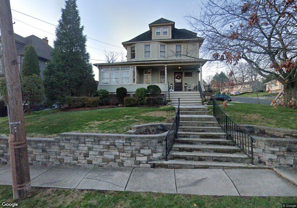
519 High St Oradell, NJ 07649
Estimated Value: $853,553 - $1,040,000
--
Bed
--
Bath
1,930
Sq Ft
$487/Sq Ft
Est. Value
About This Home
This home is located at 519 High St, Oradell, NJ 07649 and is currently estimated at $940,138, approximately $487 per square foot. 519 High St is a home located in Bergen County with nearby schools including Oradell Elementary School, River Dell Middle School, and River Dell Regional High School.
Ownership History
Date
Name
Owned For
Owner Type
Purchase Details
Closed on
Jan 30, 2009
Sold by
Mintz Mark Joel and Mintz Randy Dawn
Bought by
Syracuse Amyh and Syracuse Scott
Current Estimated Value
Purchase Details
Closed on
Jan 25, 2002
Sold by
Schwartz April
Bought by
Mintz Mark J and Hecht Randy D
Home Financials for this Owner
Home Financials are based on the most recent Mortgage that was taken out on this home.
Original Mortgage
$257,550
Interest Rate
7.08%
Purchase Details
Closed on
Oct 30, 1998
Sold by
Schwartz Joel and Schwartz April
Bought by
Schwartz April
Purchase Details
Closed on
Jan 17, 1995
Sold by
Gleason James and Gleason Dolores
Bought by
Schwartz Joel and Schwartz April
Home Financials for this Owner
Home Financials are based on the most recent Mortgage that was taken out on this home.
Original Mortgage
$203,000
Interest Rate
9.23%
Create a Home Valuation Report for This Property
The Home Valuation Report is an in-depth analysis detailing your home's value as well as a comparison with similar homes in the area
Home Values in the Area
Average Home Value in this Area
Purchase History
| Date | Buyer | Sale Price | Title Company |
|---|---|---|---|
| Syracuse Amyh | $545,000 | -- | |
| Mintz Mark J | $321,950 | -- | |
| Schwartz April | -- | -- | |
| Schwartz Joel | $225,000 | -- |
Source: Public Records
Mortgage History
| Date | Status | Borrower | Loan Amount |
|---|---|---|---|
| Previous Owner | Mintz Mark J | $257,550 | |
| Previous Owner | Schwartz Joel | $203,000 |
Source: Public Records
Tax History Compared to Growth
Tax History
| Year | Tax Paid | Tax Assessment Tax Assessment Total Assessment is a certain percentage of the fair market value that is determined by local assessors to be the total taxable value of land and additions on the property. | Land | Improvement |
|---|---|---|---|---|
| 2025 | $15,583 | $722,500 | $386,300 | $336,200 |
| 2024 | $14,895 | $572,500 | $273,900 | $298,600 |
| 2023 | $14,268 | $558,300 | $272,800 | $285,500 |
| 2022 | $14,268 | $533,600 | $262,800 | $270,800 |
| 2021 | $14,223 | $508,700 | $249,300 | $259,400 |
| 2020 | $13,967 | $505,500 | $247,800 | $257,700 |
| 2019 | $13,780 | $494,600 | $241,800 | $252,800 |
| 2018 | $13,530 | $492,900 | $243,300 | $249,600 |
| 2017 | $13,078 | $484,000 | $239,300 | $244,700 |
| 2016 | $12,291 | $413,000 | $222,200 | $190,800 |
| 2015 | $12,022 | $413,000 | $222,200 | $190,800 |
| 2014 | $11,498 | $413,000 | $222,200 | $190,800 |
Source: Public Records
Map
Nearby Homes
- 147 Pine Ave
- 109 Center St
- 590 Center St Unit 1
- 171 Cleveland St
- 133 Center St Unit E5
- 171 Harrison St
- 855 Kinderkamack Rd
- 211 Madison Ave
- 243 Main St
- 374 E Midland Ave
- 787 Schaefer Ave
- 69 River Rd
- 264 Demarest Ave
- 784 Millbrook Rd
- 33 Lincoln Ave
- 274 Milford Ave
- 812 Ridgewood Ave
- 817 Riverdell Rd
- 327 E Midland Ave
- 140 River Edge Ave