519 Island Cir E Saint Helena Island, SC 29920
Estimated Value: $773,000 - $1,224,000
3
Beds
3
Baths
2,700
Sq Ft
$347/Sq Ft
Est. Value
About This Home
This home is located at 519 Island Cir E, Saint Helena Island, SC 29920 and is currently estimated at $937,905, approximately $347 per square foot. 519 Island Cir E is a home located in Beaufort County with nearby schools including St. Helena Elementary School, Lady's Island Middle School, and Beaufort High School.
Ownership History
Date
Name
Owned For
Owner Type
Purchase Details
Closed on
Jul 8, 2009
Sold by
Tsigounis Stanley A and Tsigounis Anne P
Bought by
Marchioni Aldo J and Marchioni Susan S
Current Estimated Value
Purchase Details
Closed on
Nov 29, 2007
Sold by
Sanderson Robert G
Bought by
Tsigounis Stanley A and Tsigounis Anne P
Home Financials for this Owner
Home Financials are based on the most recent Mortgage that was taken out on this home.
Original Mortgage
$410,000
Interest Rate
6.29%
Mortgage Type
Purchase Money Mortgage
Create a Home Valuation Report for This Property
The Home Valuation Report is an in-depth analysis detailing your home's value as well as a comparison with similar homes in the area
Home Values in the Area
Average Home Value in this Area
Purchase History
| Date | Buyer | Sale Price | Title Company |
|---|---|---|---|
| Marchioni Aldo J | $607,000 | -- | |
| Tsigounis Stanley A | $695,000 | None Available |
Source: Public Records
Mortgage History
| Date | Status | Borrower | Loan Amount |
|---|---|---|---|
| Previous Owner | Tsigounis Stanley A | $410,000 |
Source: Public Records
Tax History Compared to Growth
Tax History
| Year | Tax Paid | Tax Assessment Tax Assessment Total Assessment is a certain percentage of the fair market value that is determined by local assessors to be the total taxable value of land and additions on the property. | Land | Improvement |
|---|---|---|---|---|
| 2024 | $2,700 | $27,364 | $7,200 | $20,164 |
| 2023 | $2,700 | $27,364 | $7,200 | $20,164 |
| 2022 | $2,490 | $18,312 | $7,000 | $11,312 |
| 2021 | $2,416 | $18,312 | $7,000 | $11,312 |
| 2020 | $2,563 | $19,016 | $7,000 | $12,016 |
| 2019 | $2,503 | $19,016 | $7,000 | $12,016 |
| 2018 | $2,431 | $19,020 | $0 | $0 |
| 2017 | $2,631 | $20,400 | $0 | $0 |
| 2016 | $2,569 | $20,400 | $0 | $0 |
| 2014 | $2,631 | $20,400 | $0 | $0 |
Source: Public Records
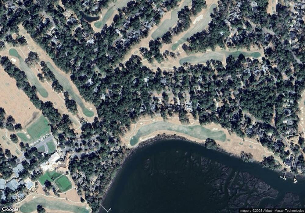
Map
Nearby Homes
- 2009 Bluff Villas Rd
- 2002 Bluff Villas Rd
- 2 Doe Point
- 2024 Bluff Villas Rd
- 117 Locust Fence Rd
- 58 S Boone Rd
- 419 Bb Sams Dr
- 374 Dataw Dr
- 152 Locust Fence Rd
- 434 Bb Sams Dr
- 161 Locust Fence Rd
- 444 Bb Sams Dr
- 633 S Reeve Rd
- 207 Odingsell Ct
- 251 Locust Fence Rd
- 454 Bb Sams Dr
- 338 Westbrook Rd
- 208 Locust Fence Rd
- 823 Island Cir W
- 101 Chicora Point
- 523 Island Cir E
- 515 Island Cir E
- 527 Island Cir E
- 511 Island Cir E
- 518 Island Cir E
- 514 Island Cir E
- 531 Island Cir E
- 522 Island Cir E
- 510 Island Cir E
- 526 Island Cir E
- 535 Island Cir E
- 530 Island Cir E
- 539 Island Cir E
- 534 Island Cir E
- 2001 Bluff Villas Rd Unit 2001
- 2003 Bluff Villas Rd
- 2002 Bluff Villas Rd Unit 2002
- 423 Island Cir E
- 2004 Bluff Villas Rd
- 2005 Bluff Villa Rd Unit 2005