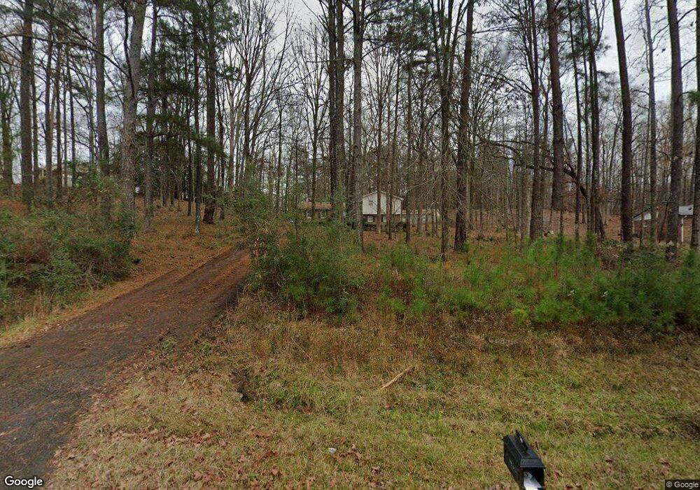
519 Newton Rd Lagrange, GA 30240
Estimated Value: $237,000 - $303,000
3
Beds
3
Baths
1,979
Sq Ft
$137/Sq Ft
Est. Value
About This Home
This home is located at 519 Newton Rd, Lagrange, GA 30240 and is currently estimated at $271,502, approximately $137 per square foot. 519 Newton Rd is a home located in Troup County with nearby schools including Long Cane Elementary School, Berta Weathersbee Elementary School, and Whitesville Road Elementary School.
Ownership History
Date
Name
Owned For
Owner Type
Purchase Details
Closed on
Jan 31, 2017
Sold by
Lockwood Greg
Bought by
Oudkerk Pool Kristopher J
Current Estimated Value
Home Financials for this Owner
Home Financials are based on the most recent Mortgage that was taken out on this home.
Original Mortgage
$164,465
Outstanding Balance
$133,877
Interest Rate
3.87%
Mortgage Type
FHA
Estimated Equity
$137,625
Purchase Details
Closed on
Jan 31, 2006
Sold by
Hill John Boyd
Bought by
Lockwood Greg
Purchase Details
Closed on
Sep 30, 2002
Sold by
Snellgrove Jeffery and Snellgrove Cheryl
Bought by
John Boyd and Grace Rachel Hill
Purchase Details
Closed on
Jun 9, 1998
Sold by
Brenda Donald and Brenda Crowe
Bought by
Snellgrove Jeffery and Snellgrove Cheryl
Purchase Details
Closed on
Sep 7, 1994
Sold by
Crowe Don
Bought by
Brenda Donald and Brenda Crowe
Purchase Details
Closed on
Aug 26, 1994
Sold by
James E Walton
Bought by
Crowe Don
Purchase Details
Closed on
Dec 16, 1987
Sold by
Jas E Walton
Bought by
James E Walton
Purchase Details
Closed on
Dec 15, 1987
Sold by
Russell D Parmer
Bought by
Jas E Walton
Purchase Details
Closed on
Aug 1, 1986
Sold by
Jessie Jones and Jessie Carol
Bought by
Russell D Parmer
Purchase Details
Closed on
May 12, 1979
Sold by
Wayne Jones W
Bought by
Jessie Jones and Jessie Carol
Purchase Details
Closed on
Oct 27, 1977
Sold by
King Q P
Bought by
Wayne Jones W
Purchase Details
Closed on
Jul 26, 1977
Sold by
Rivercrest Est Ltd
Bought by
King Q P
Purchase Details
Closed on
Feb 10, 1977
Sold by
Darden Darden and Darden Ketzky
Bought by
Rivercrest Est Ltd
Purchase Details
Closed on
Jan 1, 1973
Bought by
Darden Darden and Darden Ketzky
Purchase Details
Closed on
Jan 1, 1968
Create a Home Valuation Report for This Property
The Home Valuation Report is an in-depth analysis detailing your home's value as well as a comparison with similar homes in the area
Purchase History
| Date | Buyer | Sale Price | Title Company |
|---|---|---|---|
| Oudkerk Pool Kristopher J | $167,500 | -- | |
| Lockwood Greg | $128,500 | -- | |
| John Boyd | $99,000 | -- | |
| Snellgrove Jeffery | $91,000 | -- | |
| Brenda Donald | -- | -- | |
| Crowe Don | $76,000 | -- | |
| James E Walton | -- | -- | |
| Jas E Walton | $73,500 | -- | |
| Russell D Parmer | $69,000 | -- | |
| Jessie Jones | $51,500 | -- | |
| Wayne Jones W | $42,500 | -- | |
| King Q P | -- | -- | |
| Rivercrest Est Ltd | -- | -- | |
| Darden Darden | -- | -- | |
| -- | -- | -- |
Source: Public Records
Mortgage History
| Date | Status | Borrower | Loan Amount |
|---|---|---|---|
| Open | Oudkerk Pool Kristopher J | $164,465 |
Source: Public Records
Tax History
| Year | Tax Paid | Tax Assessment Tax Assessment Total Assessment is a certain percentage of the fair market value that is determined by local assessors to be the total taxable value of land and additions on the property. | Land | Improvement |
|---|---|---|---|---|
| 2025 | $2,552 | $93,560 | $10,000 | $83,560 |
| 2024 | $2,315 | $84,880 | $10,000 | $74,880 |
| 2023 | $2,018 | $74,000 | $10,000 | $64,000 |
| 2022 | $1,964 | $70,360 | $10,000 | $60,360 |
| 2021 | $2,120 | $70,280 | $8,000 | $62,280 |
| 2020 | $2,120 | $70,280 | $8,000 | $62,280 |
| 2019 | $2,063 | $68,400 | $8,000 | $60,400 |
| 2018 | $2,021 | $68,400 | $8,000 | $60,400 |
| 2017 | $1,910 | $63,320 | $8,000 | $55,320 |
| 2016 | $1,275 | $42,264 | $5,800 | $36,464 |
| 2015 | $1,277 | $42,264 | $5,800 | $36,464 |
| 2014 | $1,221 | $40,345 | $5,800 | $34,545 |
| 2013 | -- | $41,917 | $5,800 | $36,117 |
Source: Public Records
Map
Nearby Homes
- 474 Newton Rd
- 40 River Point Dr
- 101 Ivy Springs Dr
- 311 Cumberland Dr
- 113 Colonial Ct Unit 100
- 124 Lincoln Ln
- 104 Hidden Springs Dr
- 106 Landings Way
- 104 Landings Way
- 201 Lakeview Ct
- 109 Riverbluff Dr
- 101 Riverbluff Dr
- 135 Planters Ridge Dr
- 640 Hudson Rd
- 213 Linda Ln
- 112 Foxdale Dr
- 4.5 ACRES Whatley Rd N
- 0 Deming St Unit 10550189
- 0 Salem Rd Tract 2 Unit 10675187
- 226 Linda Ln
- 539 Newton Rd
- 485 Newton Rd
- 555 Newton Rd
- 202 Cumberland Dr
- 204 Cumberland Dr
- 528 Newton Rd
- 200 Cumberland Dr
- 11 River Point Dr
- 206 Cumberland Dr
- 569 Newton Rd
- 208 Cumberland Dr
- 13 River Point Dr
- 67 Old Newton Rd N
- 552 Newton Rd
- 16 River Point Dr
- 101 Falls Crest Dr
- 210 Cumberland Dr
- 460 Newton Rd
- 201 Cumberland Dr
- 205 Cumberland Dr
Your Personal Tour Guide
Ask me questions while you tour the home.