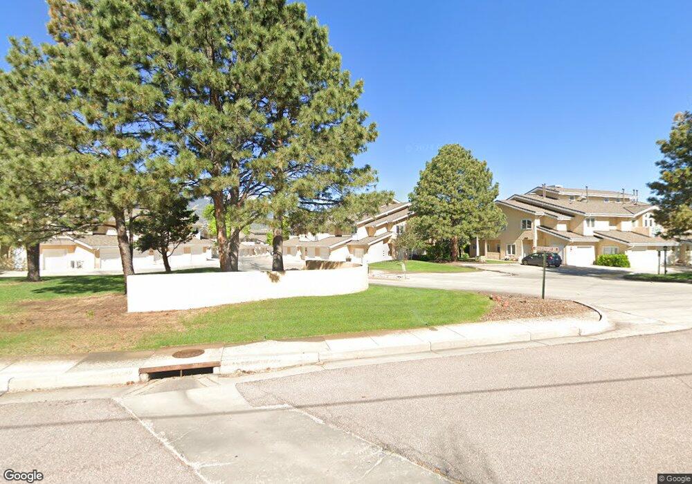
519 Observatory Dr Unit 12C Colorado Springs, CO 80904
Westside NeighborhoodEstimated Value: $287,642 - $326,000
2
Beds
2
Baths
1,212
Sq Ft
$250/Sq Ft
Est. Value
About This Home
This home is located at 519 Observatory Dr Unit 12C, Colorado Springs, CO 80904 and is currently estimated at $302,661, approximately $249 per square foot. 519 Observatory Dr Unit 12C is a home located in El Paso County with nearby schools including Bristol Elementary, School of the Arts and STEM, Holmes Middle School, and Coronado High School.
Ownership History
Date
Name
Owned For
Owner Type
Purchase Details
Closed on
Jun 4, 2001
Sold by
Mccarthy Brian
Bought by
Fay Karen A
Current Estimated Value
Home Financials for this Owner
Home Financials are based on the most recent Mortgage that was taken out on this home.
Original Mortgage
$111,900
Outstanding Balance
$42,500
Interest Rate
7.1%
Estimated Equity
$260,161
Purchase Details
Closed on
Jan 10, 2001
Sold by
Dudly Donald L
Bought by
Mccarthy Brian
Purchase Details
Closed on
Dec 18, 2000
Sold by
Dudley Donald L
Bought by
Mccarthy Brian
Purchase Details
Closed on
Aug 4, 1993
Bought by
Home-On-The-Range 1 Llc
Purchase Details
Closed on
Oct 10, 1989
Bought by
Home-On-The-Range 1 Llc
Purchase Details
Closed on
Nov 1, 1985
Bought by
Home-On-The-Range 1 Llc
Create a Home Valuation Report for This Property
The Home Valuation Report is an in-depth analysis detailing your home's value as well as a comparison with similar homes in the area
Home Values in the Area
Average Home Value in this Area
Purchase History
| Date | Buyer | Sale Price | Title Company |
|---|---|---|---|
| Fay Karen A | $139,900 | Land Title | |
| Mccarthy Brian | $100,523 | -- | |
| Mccarthy Brian | -- | -- | |
| Home-On-The-Range 1 Llc | $69,400 | -- | |
| Home-On-The-Range 1 Llc | $62,500 | -- | |
| Home-On-The-Range 1 Llc | -- | -- |
Source: Public Records
Mortgage History
| Date | Status | Borrower | Loan Amount |
|---|---|---|---|
| Open | Fay Karen A | $111,900 |
Source: Public Records
Tax History Compared to Growth
Tax History
| Year | Tax Paid | Tax Assessment Tax Assessment Total Assessment is a certain percentage of the fair market value that is determined by local assessors to be the total taxable value of land and additions on the property. | Land | Improvement |
|---|---|---|---|---|
| 2025 | $912 | $23,080 | -- | -- |
| 2024 | $804 | $20,800 | $4,390 | $16,410 |
| 2022 | $862 | $15,400 | $2,880 | $12,520 |
| 2021 | $935 | $15,850 | $2,970 | $12,880 |
| 2020 | $879 | $12,950 | $2,220 | $10,730 |
| 2019 | $874 | $12,950 | $2,220 | $10,730 |
| 2018 | $867 | $11,810 | $1,800 | $10,010 |
| 2017 | $821 | $11,810 | $1,800 | $10,010 |
| 2016 | $721 | $12,430 | $1,990 | $10,440 |
| 2015 | $718 | $12,430 | $1,990 | $10,440 |
| 2014 | $644 | $10,710 | $1,790 | $8,920 |
Source: Public Records
Map
Nearby Homes
- 585 Observatory Dr Unit 2F
- 1365 Talley Cir
- 1375 Talley Cir
- 1345 Talley Cir
- 1355 Talley Cir
- 660 Pony Ln
- 135 Helena Ln
- 321 Graceland Grove
- 119 Helena Ln
- 1502 Manitou Blvd
- 23 N 15th St
- 1509 W Platte Ave
- 1522 Manitou Blvd
- 1315 W Kiowa St
- 546 W Saint Vrain St
- 1112 W Kiowa St
- 549 W Dale St Unit 569
- 708 Cooper Ave
- 1411 W Kiowa St
- 427 N Chestnut St
- 517 Observatory Dr
- 515 Observatory Dr Unit 12A
- 523 Observatory Dr Unit 12E
- 525 Observatory Dr Unit 12F
- 593 Observatory Dr Unit 1D
- 514 Observatory Dr Unit F
- 524 Observatory Dr
- 595 Observatory Dr Unit 1E
- 516 Observatory Dr
- 597 Observatory Dr Unit 1F
- 520 Observatory Dr Unit 13C
- 518 Observatory Dr Unit 13D
- 518 Observatory Dr Unit 518 Observatory Driv
- 518 Observatory Dr
- 587 Observatory Dr Unit A
- 589 Observatory Dr Unit 1B
- 536 Observatory Dr Unit 11A
- 522 Observatory Dr
- 591 Observatory Dr
- 583 Observatory Dr