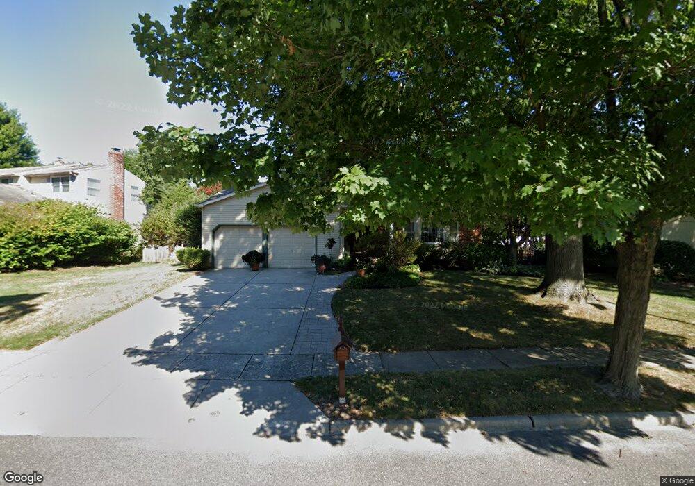
519 Perry Dr Mount Laurel, NJ 08054
Estimated Value: $608,134 - $684,000
Studio
--
Bath
2,452
Sq Ft
$265/Sq Ft
Est. Value
About This Home
This home is located at 519 Perry Dr, Mount Laurel, NJ 08054 and is currently estimated at $649,284, approximately $264 per square foot. 519 Perry Dr is a home located in Burlington County with nearby schools including Springville School, T.E. Harrington Middle School, and Mount Laurel Hartford School.
Ownership History
Date
Name
Owned For
Owner Type
Purchase Details
Closed on
Jun 18, 2005
Sold by
Prior Richard C and Prior Claudia E
Bought by
Macioch Stanley J and Macioch Geraldine E
Current Estimated Value
Purchase Details
Closed on
Jul 25, 2003
Sold by
Twomey John M and Twomey Kimberly J
Bought by
Prior Richard C and Prior Claudia E
Home Financials for this Owner
Home Financials are based on the most recent Mortgage that was taken out on this home.
Original Mortgage
$230,000
Interest Rate
5.28%
Mortgage Type
Purchase Money Mortgage
Create a Home Valuation Report for This Property
The Home Valuation Report is an in-depth analysis detailing your home's value as well as a comparison with similar homes in the area
Home Values in the Area
Average Home Value in this Area
Purchase History
| Date | Buyer | Sale Price | Title Company |
|---|---|---|---|
| Macioch Stanley J | $392,500 | Fidelity National Title | |
| Prior Richard C | $315,000 | Fidelity Title Abstract Co |
Source: Public Records
Mortgage History
| Date | Status | Borrower | Loan Amount |
|---|---|---|---|
| Previous Owner | Prior Richard C | $230,000 |
Source: Public Records
Tax History
| Year | Tax Paid | Tax Assessment Tax Assessment Total Assessment is a certain percentage of the fair market value that is determined by local assessors to be the total taxable value of land and additions on the property. | Land | Improvement |
|---|---|---|---|---|
| 2025 | $9,253 | $293,100 | $88,500 | $204,600 |
| 2024 | $8,904 | $293,100 | $88,500 | $204,600 |
| 2023 | $8,904 | $293,100 | $88,500 | $204,600 |
| 2022 | $8,875 | $293,100 | $88,500 | $204,600 |
| 2021 | $8,073 | $293,100 | $88,500 | $204,600 |
| 2020 | $8,538 | $293,100 | $88,500 | $204,600 |
| 2019 | $8,450 | $293,100 | $88,500 | $204,600 |
| 2018 | $8,386 | $293,100 | $88,500 | $204,600 |
| 2017 | $8,169 | $293,100 | $88,500 | $204,600 |
| 2016 | $8,046 | $293,100 | $88,500 | $204,600 |
| 2015 | $7,952 | $293,100 | $88,500 | $204,600 |
| 2014 | $7,873 | $293,100 | $88,500 | $204,600 |
Source: Public Records
Map
Nearby Homes
- 32 Hearthstone Ln
- 6 Keatley Dr
- 13 Keatley Dr
- 23 Emory Ln
- 6 Abington Rd
- 14 Merlot Ct
- 266 Saint David Dr
- 4510 Church Rd
- 12 Taconia Ct
- 8 Raven Ct
- 223 Saint David Dr
- 4907 Church Rd
- 804A Cypress Point Cir
- 33 Colts Gait Rd
- 160 Country Farms Rd
- 23 E Oleander Dr
- 3 Avandale Ct
- 300 Windsor Ln
- 104B Sumac Ct Unit 104B
- 31 Quince Ct