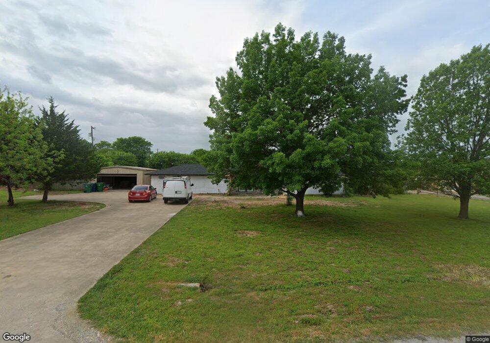
519 Preston Dr Pottsboro, TX 75076
Estimated Value: $379,225 - $444,000
3
Beds
2
Baths
2,029
Sq Ft
$203/Sq Ft
Est. Value
About This Home
This home is located at 519 Preston Dr, Pottsboro, TX 75076 and is currently estimated at $411,613, approximately $202 per square foot. 519 Preston Dr is a home located in Grayson County with nearby schools including Pottsboro Elementary School, Pottsboro Middle School, and Pottsboro High School.
Ownership History
Date
Name
Owned For
Owner Type
Purchase Details
Closed on
Apr 25, 2022
Sold by
Richard Rawlins
Bought by
Rawlins Bradley and Rawlins April
Current Estimated Value
Home Financials for this Owner
Home Financials are based on the most recent Mortgage that was taken out on this home.
Original Mortgage
$114,750
Outstanding Balance
$107,322
Interest Rate
3.85%
Mortgage Type
FHA
Estimated Equity
$304,291
Create a Home Valuation Report for This Property
The Home Valuation Report is an in-depth analysis detailing your home's value as well as a comparison with similar homes in the area
Home Values in the Area
Average Home Value in this Area
Purchase History
| Date | Buyer | Sale Price | Title Company |
|---|---|---|---|
| Rawlins Bradley | -- | Red River Title |
Source: Public Records
Mortgage History
| Date | Status | Borrower | Loan Amount |
|---|---|---|---|
| Open | Rawlins Bradley | $114,750 |
Source: Public Records
Tax History Compared to Growth
Tax History
| Year | Tax Paid | Tax Assessment Tax Assessment Total Assessment is a certain percentage of the fair market value that is determined by local assessors to be the total taxable value of land and additions on the property. | Land | Improvement |
|---|---|---|---|---|
| 2025 | $6,441 | $388,669 | $144,677 | $243,992 |
| 2024 | $6,441 | $333,771 | $0 | $0 |
| 2023 | $5,285 | $273,536 | $112,407 | $161,129 |
| 2022 | $4,886 | $230,590 | $102,188 | $128,402 |
| 2021 | $3,951 | $178,135 | $54,031 | $124,104 |
| 2020 | $3,009 | $131,286 | $16,392 | $114,894 |
| 2019 | $3,060 | $127,513 | $16,392 | $111,121 |
| 2018 | $3,743 | $154,549 | $16,392 | $138,157 |
| 2017 | $3,624 | $147,852 | $16,392 | $131,460 |
| 2016 | $3,691 | $150,569 | $16,392 | $134,177 |
| 2015 | $2,919 | $117,263 | $16,392 | $100,871 |
| 2014 | $2,992 | $119,459 | $16,392 | $103,067 |
Source: Public Records
Map
Nearby Homes
- 514 Preston Dr
- TBD Lot 4 Farm To Market 120
- 104 Loraine St
- 200 Herberta St
- 200 Clement Ct
- 102 William St
- Lot 39 White Tail Way
- 401 Grayson St
- 405 Grayson St
- 105 E William St
- 617 Grayson St
- 110 E Fm 120
- 614 Franklin Ave
- 144 Shawnee Trail
- 106 Kristy Ct
- 622 Franklin Ave
- 124 Chisolm Trail
- 129 Chisolm Trail
- 100 Chisolm Trail
- 308 Front St
- 521 Preston Dr
- 517 Preston Dr
- 518 Preston Dr
- 520 Preston Dr
- 515 Preston Dr
- 523 Preston Dr
- 516 Preston Dr
- 522 Preston Dr
- 525 Preston Dr
- 513 Preston Dr
- 524 Preston Dr
- 512 Preston Dr
- Lt 23 W Hwy 120
- Lot 19 W Hwy 120
- Lot 21 W Hwy 120
- Lot 15 W 120
- 526 Preston Dr
- 510 Preston Dr
- 511 Preston Dr
- Lot 25 W Highway 120