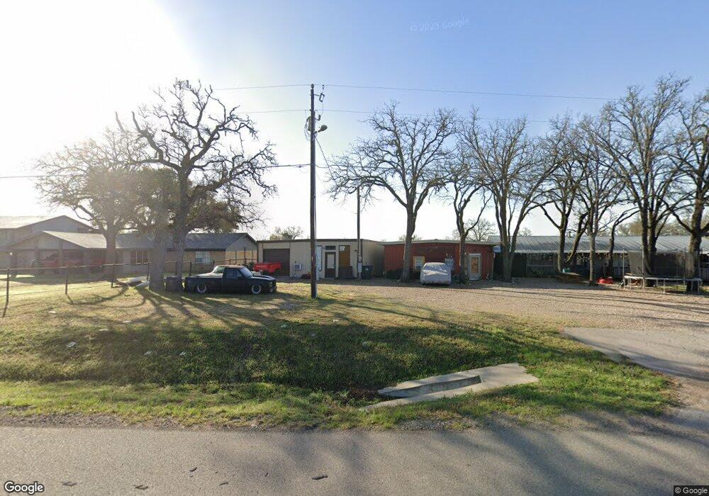
519 State Highway 21 W Cedar Creek, TX 78612
Estimated Value: $319,000 - $412,000
3
Beds
2
Baths
4,471
Sq Ft
$82/Sq Ft
Est. Value
About This Home
This home is located at 519 State Highway 21 W, Cedar Creek, TX 78612 and is currently estimated at $365,500, approximately $81 per square foot. 519 State Highway 21 W is a home located in Bastrop County with nearby schools including Cedar Creek Middle School, Cedar Creek Intermediate School, and Cedar Creek High School.
Ownership History
Date
Name
Owned For
Owner Type
Purchase Details
Closed on
Mar 24, 2021
Sold by
Stemark Development Llc
Bought by
Jkg Property Interests Llc
Current Estimated Value
Purchase Details
Closed on
Mar 23, 2021
Sold by
Stemark Development Llc
Bought by
Jkg Property Interests Llc
Purchase Details
Closed on
Aug 23, 2018
Sold by
Hellinger Earl Edward
Bought by
Stemark Development Llc
Create a Home Valuation Report for This Property
The Home Valuation Report is an in-depth analysis detailing your home's value as well as a comparison with similar homes in the area
Home Values in the Area
Average Home Value in this Area
Purchase History
| Date | Buyer | Sale Price | Title Company |
|---|---|---|---|
| Jkg Property Interests Llc | -- | Corridor Title | |
| Jkg Property Interests Llc | -- | Corridor Title Co | |
| Stemark Development Llc | -- | Independence Title Co |
Source: Public Records
Tax History Compared to Growth
Tax History
| Year | Tax Paid | Tax Assessment Tax Assessment Total Assessment is a certain percentage of the fair market value that is determined by local assessors to be the total taxable value of land and additions on the property. | Land | Improvement |
|---|---|---|---|---|
| 2025 | $17,230 | $1,111,516 | $260,043 | $851,473 |
| 2024 | $17,230 | $1,111,516 | $260,043 | $851,473 |
| 2023 | $17,230 | $1,094,602 | $280,084 | $814,518 |
| 2022 | $19,049 | $1,094,602 | $280,084 | $814,518 |
| 2021 | $16,438 | $829,826 | $154,749 | $675,077 |
| 2020 | $4,286 | $210,000 | $74,488 | $135,512 |
| 2019 | $4,454 | $210,000 | $74,488 | $135,512 |
| 2018 | $9,893 | $466,499 | $74,434 | $397,185 |
| 2017 | $9,907 | $444,473 | $81,878 | $362,595 |
| 2016 | $9,867 | $442,658 | $74,435 | $387,427 |
| 2015 | $7,733 | $406,155 | $74,435 | $331,720 |
| 2014 | $7,733 | $381,964 | $74,435 | $307,529 |
Source: Public Records
Map
Nearby Homes
- TBD St Hwy 21 W
- 127 Meadow Way
- 100 Acorn Trail
- 000 N Gaines Rd
- Lot 4FR N Gaines Rd
- TBD W McDonald Ln Unit J
- TBD Tbd Dr
- 183 Clover Rd
- TBD McDonald Ln W Unit (J. Greene Tract)
- TBD Marjess Dr
- 148 Oak Ridge Dr
- 161 Farm To Market Road 1209
- 0 Tbd (27 Acres) Shiloh Rd
- 21 Farm To Market Road 1209 Unit N
- 163 S Ridge Dr
- TBD Shiloh Rd
- 170 Silverton Ln
- 454 Leisure Ln
- 1587 State Highway 71 W Unit A
- 1546 Highway 71 W
- 519 State Highway 21 W
- 509 Texas 21
- 517 State Highway 21 W
- 505 State Highway 21 W
- 535 State Highway 21 W
- 526 State Highway 21 W
- 522 State Highway 21 W
- 510 State Highway 21 W
- 476 Mount Olive Rd
- 160 Possum Hollow Rd
- 536 State Highway 21 W
- 501 State Highway 21 W
- 544 W Sh 21 W
- 151 Possum Hollow Rd
- 317 Amanda Cir
- 490 W Sh 21 W
- 308 Amanda Cir
- 490 State Highway 21 W
- 296 Amanda Cir
- 477 State Highway 21 W