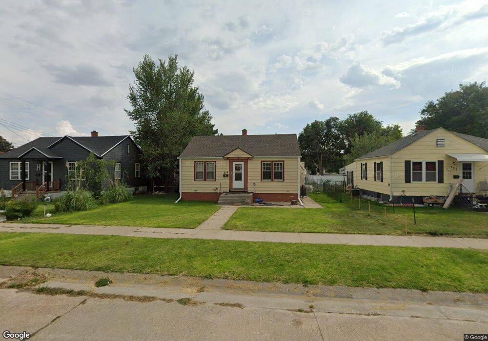
519 W 11th St Alliance, NE 69301
Estimated Value: $88,000 - $99,000
2
Beds
1
Bath
744
Sq Ft
$125/Sq Ft
Est. Value
About This Home
This home is located at 519 W 11th St, Alliance, NE 69301 and is currently estimated at $93,061, approximately $125 per square foot. 519 W 11th St is a home located in Box Butte County with nearby schools including Alliance High School, St. Agnes Academy, and Immanuel Evangelical Lutheran School.
Ownership History
Date
Name
Owned For
Owner Type
Purchase Details
Closed on
Apr 11, 2022
Sold by
Kent Wilkie Myron
Bought by
Wilke Matthew O and Halle Shauna K
Current Estimated Value
Home Financials for this Owner
Home Financials are based on the most recent Mortgage that was taken out on this home.
Original Mortgage
$55,290
Interest Rate
5.25%
Mortgage Type
FHA
Purchase Details
Closed on
Nov 9, 2012
Sold by
Garett Julie A and Green Mary Helen
Bought by
Wilkie Myron K and Wilkie Judith A
Create a Home Valuation Report for This Property
The Home Valuation Report is an in-depth analysis detailing your home's value as well as a comparison with similar homes in the area
Home Values in the Area
Average Home Value in this Area
Purchase History
| Date | Buyer | Sale Price | Title Company |
|---|---|---|---|
| Wilke Matthew O | -- | New Title Company Name | |
| Wilkie Myron K | -- | Kunzman Title |
Source: Public Records
Mortgage History
| Date | Status | Borrower | Loan Amount |
|---|---|---|---|
| Previous Owner | Wilke Matthew O | $55,290 |
Source: Public Records
Tax History
| Year | Tax Paid | Tax Assessment Tax Assessment Total Assessment is a certain percentage of the fair market value that is determined by local assessors to be the total taxable value of land and additions on the property. | Land | Improvement |
|---|---|---|---|---|
| 2025 | $723 | $60,863 | $5,940 | $54,923 |
| 2024 | $693 | $55,330 | $5,400 | $49,930 |
| 2023 | $951 | $55,330 | $5,400 | $49,930 |
| 2022 | $1,158 | $63,605 | $4,860 | $58,745 |
| 2021 | $1,172 | $63,605 | $4,860 | $58,745 |
| 2020 | $1,169 | $63,605 | $4,860 | $58,745 |
| 2019 | $1,142 | $63,605 | $4,860 | $58,745 |
| 2018 | $1,136 | $63,605 | $4,860 | $58,745 |
| 2017 | $781 | $42,068 | $3,510 | $38,558 |
| 2016 | $772 | $42,068 | $3,510 | $38,558 |
| 2015 | -- | $39,885 | $3,510 | $36,375 |
| 2014 | -- | $39,885 | $3,510 | $36,375 |
Source: Public Records
Map
Nearby Homes
- 936 Platte Ave
- 823 Emerson Ave
- 1232 Emerson Ave
- 928 Black Hills Ave
- 819 Black Hills Ave
- 1103 Cheyenne Ave
- 1232 Cheyenne Ave
- 719 Toluca Ave
- 1021 Dakota Ave
- 1007 Laramie Ave
- 114 W 8th St
- 112 E 11th St
- 601 Big Horn Ave
- 624 W 5th St
- 506 Cheyenne Ave
- 408 Toluca Ave
- 413 Big Horn Ave
- 122 W 4th St
- 20th St Emerson Ave To Colorado Ave
- 1216 Duncan Ave
- 515 W 11th St
- 523 W 11th St
- 1023 Emerson Ave
- 1017 Emerson Ave
- 520 W 11th St
- 524 W 11th St
- 516 W 11th St
- 1020 Toluca Ave
- 1024 Toluca Ave
- 1016 Toluca Ave
- 1012 Toluca Ave
- 1111 Emerson Ave
- 520 W 10th St
- 1011 Emerson Ave
- 516 W 10th St
- 524 W 10th St
- 1008 Toluca Ave
- 1004 Toluca Ave
- 1020 Emerson Ave
- 1024 Emerson Ave
Your Personal Tour Guide
Ask me questions while you tour the home.