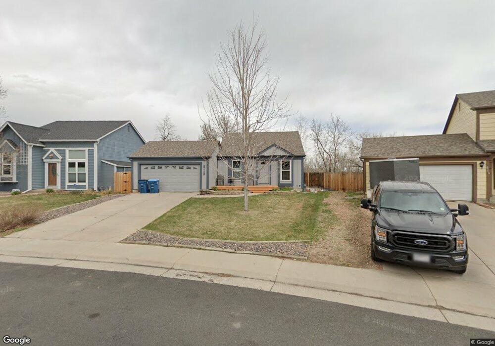
519 W Hackberry St Louisville, CO 80027
Estimated Value: $662,267 - $792,000
3
Beds
2
Baths
912
Sq Ft
$796/Sq Ft
Est. Value
About This Home
This home is located at 519 W Hackberry St, Louisville, CO 80027 and is currently estimated at $726,317, approximately $796 per square foot. 519 W Hackberry St is a home located in Boulder County with nearby schools including Fireside Elementary School, Monarch K-8 School, and Monarch High School.
Ownership History
Date
Name
Owned For
Owner Type
Purchase Details
Closed on
Oct 7, 1986
Bought by
Mccallister Douglas L and Mccallister Barbara K
Current Estimated Value
Purchase Details
Closed on
Oct 22, 1985
Bought by
Mccallister Douglas L and Mccallister Barbara K
Purchase Details
Closed on
Dec 2, 1983
Bought by
Mccallister Douglas L and Mccallister Barbara K
Purchase Details
Closed on
May 10, 1983
Bought by
Mccallister Douglas L and Mccallister Barbara K
Create a Home Valuation Report for This Property
The Home Valuation Report is an in-depth analysis detailing your home's value as well as a comparison with similar homes in the area
Home Values in the Area
Average Home Value in this Area
Purchase History
| Date | Buyer | Sale Price | Title Company |
|---|---|---|---|
| Mccallister Douglas L | $89,500 | -- | |
| Mccallister Douglas L | $89,500 | -- | |
| Mccallister Douglas L | $78,600 | -- | |
| Mccallister Douglas L | -- | -- |
Source: Public Records
Tax History Compared to Growth
Tax History
| Year | Tax Paid | Tax Assessment Tax Assessment Total Assessment is a certain percentage of the fair market value that is determined by local assessors to be the total taxable value of land and additions on the property. | Land | Improvement |
|---|---|---|---|---|
| 2025 | $4,128 | $46,725 | $21,406 | $25,319 |
| 2024 | $4,128 | $46,725 | $21,406 | $25,319 |
| 2023 | $4,057 | $45,922 | $22,646 | $26,961 |
| 2022 | $3,510 | $36,474 | $17,160 | $19,314 |
| 2021 | $3,620 | $39,089 | $18,390 | $20,699 |
| 2020 | $3,312 | $35,393 | $14,872 | $20,521 |
| 2019 | $3,265 | $35,393 | $14,872 | $20,521 |
| 2018 | $2,556 | $28,606 | $9,936 | $18,670 |
| 2017 | $2,505 | $31,625 | $10,985 | $20,640 |
| 2016 | $2,516 | $28,592 | $11,860 | $16,732 |
| 2015 | $2,384 | $24,875 | $13,691 | $11,184 |
| 2014 | $2,127 | $24,875 | $13,691 | $11,184 |
Source: Public Records
Map
Nearby Homes
- 159 S Polk Ave
- 408 Fillmore Ct
- 291 W Sycamore Ln
- 592 Spruce Cir
- 641 W Dahlia St
- 494 Owl Dr Unit 4
- 118 S Tanager Ct
- 426 W Spruce Ln
- 284 S Taft Ct Unit 76
- 279 S Taft Ct Unit 53
- 474 W Spruce St
- 203 Springs Dr
- 362 S Taft Ct Unit 108
- 323 S Taft Ct Unit 26
- 539 Coal Creek Ln
- 305 S Taft Ct Unit 33
- 812 W Mulberry St
- 310 W Spruce St
- 593 Wildrose Way
- 567 Manorwood Ln
- 521 W Hackberry St
- 511 W Hackberry St
- 523 W Hackberry St
- 130 S Cleveland Ave
- 516 W Hackberry St
- 527 W Hackberry St
- 522 W Hackberry St
- 136 S Cleveland Ave
- 526 W Hackberry St
- 143 S Cleveland Ave
- 531 W Hackberry St
- 142 S Cleveland Ave
- 517 W Lois Way
- 525 W Lois Way
- 148 S Cleveland Ave
- 535 W Hackberry St
- 534 W Hackberry St
- 533 W Lois Way
- 153 S Cleveland Ave
- 154 S Cleveland Ave