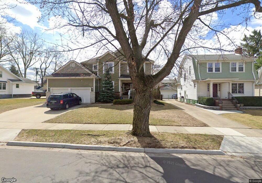
519 W Hudson Ave Unit Bldg-Unit Royal Oak, MI 48067
Estimated Value: $478,345 - $581,000
3
Beds
3
Baths
1,824
Sq Ft
$293/Sq Ft
Est. Value
About This Home
This home is located at 519 W Hudson Ave Unit Bldg-Unit, Royal Oak, MI 48067 and is currently estimated at $534,836, approximately $293 per square foot. 519 W Hudson Ave Unit Bldg-Unit is a home located in Oakland County with nearby schools including Northwood Elementary School, Royal Oak Middle School, and Royal Oak High School.
Ownership History
Date
Name
Owned For
Owner Type
Purchase Details
Closed on
Oct 8, 2018
Sold by
Peludat Ronald J and Peludat Marianne
Bought by
Mio James R and Mio Kimberly A
Current Estimated Value
Home Financials for this Owner
Home Financials are based on the most recent Mortgage that was taken out on this home.
Original Mortgage
$310,500
Outstanding Balance
$270,774
Interest Rate
4.5%
Mortgage Type
New Conventional
Estimated Equity
$264,062
Purchase Details
Closed on
Dec 23, 2015
Sold by
Peludat Ronald J and Peludat Marianne
Bought by
The Ronald J Peludat & Marianne Peludat
Purchase Details
Closed on
Nov 5, 1998
Sold by
Hautala Lila M
Bought by
Peludat Ronald
Create a Home Valuation Report for This Property
The Home Valuation Report is an in-depth analysis detailing your home's value as well as a comparison with similar homes in the area
Home Values in the Area
Average Home Value in this Area
Purchase History
| Date | Buyer | Sale Price | Title Company |
|---|---|---|---|
| Mio James R | $345,000 | None Available | |
| The Ronald J Peludat & Marianne Peludat | -- | Attorney | |
| Peludat Ronald | $104,600 | -- |
Source: Public Records
Mortgage History
| Date | Status | Borrower | Loan Amount |
|---|---|---|---|
| Open | Mio James R | $310,500 |
Source: Public Records
Tax History Compared to Growth
Tax History
| Year | Tax Paid | Tax Assessment Tax Assessment Total Assessment is a certain percentage of the fair market value that is determined by local assessors to be the total taxable value of land and additions on the property. | Land | Improvement |
|---|---|---|---|---|
| 2022 | $5,664 | $167,600 | $0 | $0 |
| 2020 | $5,664 | $145,040 | $0 | $0 |
| 2018 | $5,664 | $131,160 | $0 | $0 |
| 2017 | $3,869 | $131,160 | $0 | $0 |
| 2015 | -- | $112,420 | $0 | $0 |
| 2014 | -- | $94,470 | $0 | $0 |
| 2011 | -- | $97,820 | $0 | $0 |
Source: Public Records
Map
Nearby Homes
- 25835 Woodward Ave Unit 101
- 902 S Washington Ave
- 319 W Lincoln Ave Unit 9
- 713 S Pleasant St
- 1021 S Washington Ave Unit G
- 25475 Dundee Rd
- 201 W Harrison Ave
- 207 W Parent Ave
- 201 W Parent Ave
- 127 W Parent Ave
- 8094 Huntington Rd
- 162 S Georgetown Square
- 202 Stonebrooke Ct
- 432 S Washington Ave Unit 905
- 432 S Washington Ave Unit 1605
- 432 S Washington Ave Unit 702
- 432 S Washington Ave
- 432 S Washington Ave Unit 1701
- 1443 S Washington Ave
- 138 Tiffany Ln Unit 90
- 519 W Hudson Ave
- 515 W Hudson Ave
- 508 W Harrison Ave
- 605 W Hudson Ave Unit Bldg-Unit
- 605 W Hudson Ave Unit 1
- 605 W Hudson Ave Unit 4
- 605 W Hudson Ave Unit 3
- 605 W Hudson Ave
- 605 W Hudson Ave
- 509 W Hudson Ave
- 512 W Harrison Ave
- 529 W Hudson Ave
- W Hudson Ave
- 518 W Hudson Ave
- 518 W Hudson Ave
- 522 W Hudson Ave
- 522 W Hudson Ave
- 522 W Hudson Ave Unit ID1032340P
- 522 W Hudson Ave Unit ID1032336P
- 522 W Hudson Ave Unit ID1032326P