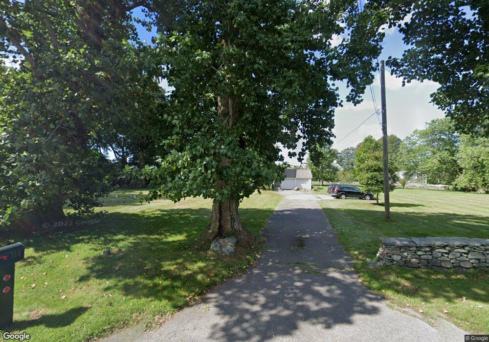
519 W Main Rd Little Compton, RI 02837
Estimated Value: $1,436,850 - $2,258,000
4
Beds
2
Baths
2,422
Sq Ft
$695/Sq Ft
Est. Value
About This Home
This home is located at 519 W Main Rd, Little Compton, RI 02837 and is currently estimated at $1,682,463, approximately $694 per square foot. 519 W Main Rd is a home located in Newport County with nearby schools including Wilbur & McMahon School.
Ownership History
Date
Name
Owned For
Owner Type
Purchase Details
Closed on
Dec 6, 1993
Sold by
Macneil Gerald F and Macneil Mary
Bought by
Frank Robert G and Frank Myra
Current Estimated Value
Home Financials for this Owner
Home Financials are based on the most recent Mortgage that was taken out on this home.
Original Mortgage
$256,000
Interest Rate
6.69%
Create a Home Valuation Report for This Property
The Home Valuation Report is an in-depth analysis detailing your home's value as well as a comparison with similar homes in the area
Home Values in the Area
Average Home Value in this Area
Purchase History
| Date | Buyer | Sale Price | Title Company |
|---|---|---|---|
| Frank Robert G | $320,000 | -- |
Source: Public Records
Mortgage History
| Date | Status | Borrower | Loan Amount |
|---|---|---|---|
| Open | Frank Robert G | $322,700 | |
| Closed | Frank Robert G | $256,000 |
Source: Public Records
Tax History
| Year | Tax Paid | Tax Assessment Tax Assessment Total Assessment is a certain percentage of the fair market value that is determined by local assessors to be the total taxable value of land and additions on the property. | Land | Improvement |
|---|---|---|---|---|
| 2025 | $6,080 | $1,269,400 | $879,500 | $389,900 |
| 2024 | $4,738 | $932,700 | $506,900 | $425,800 |
| 2023 | $4,626 | $932,700 | $506,900 | $425,800 |
| 2022 | $4,570 | $932,700 | $506,900 | $425,800 |
| 2021 | $4,300 | $711,900 | $440,200 | $271,700 |
| 2020 | $4,264 | $711,900 | $440,200 | $271,700 |
| 2019 | $4,222 | $711,900 | $440,200 | $271,700 |
| 2018 | $4,100 | $688,000 | $440,200 | $247,800 |
| 2016 | $3,901 | $688,000 | $440,200 | $247,800 |
| 2015 | $3,964 | $689,400 | $400,200 | $289,200 |
| 2014 | $3,888 | $689,400 | $400,200 | $289,200 |
Source: Public Records
Map
Nearby Homes
Your Personal Tour Guide
Ask me questions while you tour the home.