5190 Bronco Dr Clarkston, MI 48346
Independence AreaEstimated Value: $516,000 - $782,000
About This Home
This home is located at 5190 Bronco Dr, Clarkston, MI 48346 and is currently estimated at $629,041, approximately $351 per square foot. 5190 Bronco Dr is a home located in Oakland County with nearby schools including Springfield Christian Academy and Our Lady Of The Lakes Catholic School.
Ownership History
We collect this data history from publicly available records. To have your information removed, we recommend requesting removal directly through your county’s website.
Purchase Details
Purchase Details
Home Values in the Area
Average Home Value in this Area
Purchase History
We collect this data history from publicly available records. To have your information removed, we recommend requesting removal directly through your county’s website.
| Date | Buyer | Sale Price | Title Company |
|---|---|---|---|
| $415,000 | -- | ||
| $340,000 | -- |
Mortgage History
We collect this data history from publicly available records. To have your information removed, we recommend requesting removal directly through your county’s website.
| Date | Status | Borrower | Loan Amount |
|---|---|---|---|
| Open | $291,943 | ||
| Closed | $320,000 |
Tax History
We collect this data history from publicly available records. To have your information removed, we recommend requesting removal directly through your county’s website.
| Year | Tax Paid | Tax Assessment Tax Assessment Total Assessment is a certain percentage of the fair market value that is determined by local assessors to be the total taxable value of land and additions on the property. | Land | Improvement |
|---|---|---|---|---|
| 2025 | $3,076 | $259,500 | $62,700 | $196,800 |
| 2024 | $2,991 | $244,000 | $55,500 | $188,500 |
| 2023 | $4,032 | $221,700 | $50,500 | $171,200 |
| 2022 | $4,104 | $207,000 | $24,700 | $182,300 |
| 2021 | $4,113 | $198,800 | $24,700 | $174,100 |
| 2020 | $2,611 | $199,700 | $24,100 | $175,600 |
| 2018 | $3,888 | $169,300 | $23,900 | $145,400 |
| 2015 | -- | $119,100 | $0 | $0 |
| 2014 | -- | $109,500 | $0 | $0 |
| 2011 | -- | $149,500 | $0 | $0 |
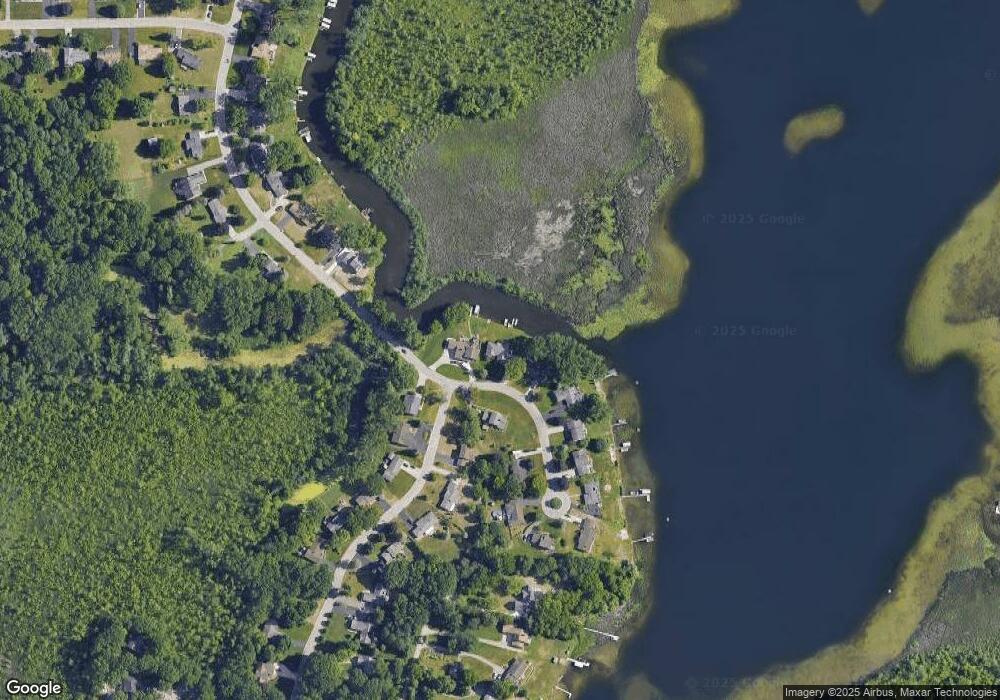
Map
- 4780 Hillcrest Dr
- 7224 Andersonville Rd
- 6858 Wellesley Terrace
- 7301 Village Park Dr
- 7490 Andersonville Rd
- 5569 Northcrest Ct
- 6083 Village Ct Unit 16
- 6832 Northcrest Way E Unit 31
- 5736 Woodland View
- 6638 Ridgeview Dr
- 5013 Timberway Trail
- 6687 Ridgeview Dr
- 6626 Ridgeview Dr Unit 34
- 6607 Ridgeview Dr Unit 18
- 7509 Maple Ridge Dr
- 6596 Maple Dr
- 4337 Windiate Park Dr
- 6591 Windiate Rd
- 6798 Saline Dr
- 6510 Scenic Pines Ct Unit 13
Ask me questions while you tour the home.