5190 Hilltop Cir East Stroudsburg, PA 18301
Estimated Value: $525,000 - $570,000
4
Beds
3
Baths
3,570
Sq Ft
$156/Sq Ft
Est. Value
About This Home
This home is located at 5190 Hilltop Cir, East Stroudsburg, PA 18301 and is currently estimated at $556,594, approximately $155 per square foot. 5190 Hilltop Cir is a home with nearby schools including Stroudsburg Junior High School and Stroudsburg High School.
Ownership History
Date
Name
Owned For
Owner Type
Purchase Details
Closed on
Jul 21, 2005
Sold by
Oyola Enrique X and Santos Oyola Christina
Bought by
Sampson Gary S and Sampson Susan
Current Estimated Value
Home Financials for this Owner
Home Financials are based on the most recent Mortgage that was taken out on this home.
Original Mortgage
$150,000
Outstanding Balance
$78,150
Interest Rate
5.63%
Mortgage Type
New Conventional
Estimated Equity
$478,444
Create a Home Valuation Report for This Property
The Home Valuation Report is an in-depth analysis detailing your home's value as well as a comparison with similar homes in the area
Home Values in the Area
Average Home Value in this Area
Purchase History
| Date | Buyer | Sale Price | Title Company |
|---|---|---|---|
| Sampson Gary S | $350,000 | None Available |
Source: Public Records
Mortgage History
| Date | Status | Borrower | Loan Amount |
|---|---|---|---|
| Open | Sampson Gary S | $150,000 |
Source: Public Records
Tax History Compared to Growth
Tax History
| Year | Tax Paid | Tax Assessment Tax Assessment Total Assessment is a certain percentage of the fair market value that is determined by local assessors to be the total taxable value of land and additions on the property. | Land | Improvement |
|---|---|---|---|---|
| 2025 | $2,642 | $320,530 | $40,300 | $280,230 |
| 2024 | $2,161 | $320,530 | $40,300 | $280,230 |
| 2023 | $10,700 | $320,530 | $40,300 | $280,230 |
| 2022 | $10,925 | $320,530 | $40,300 | $280,230 |
| 2021 | $10,589 | $320,530 | $40,300 | $280,230 |
| 2020 | $10,063 | $320,530 | $40,300 | $280,230 |
| 2019 | $12,152 | $64,450 | $10,000 | $54,450 |
| 2018 | $12,964 | $64,450 | $10,000 | $54,450 |
| 2017 | $12,964 | $64,450 | $10,000 | $54,450 |
| 2016 | $2,439 | $64,450 | $10,000 | $54,450 |
| 2015 | -- | $64,450 | $10,000 | $54,450 |
| 2014 | -- | $64,450 | $10,000 | $54,450 |
Source: Public Records
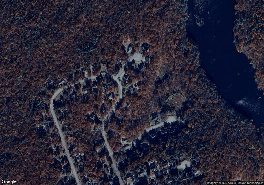
Map
Nearby Homes
- 6308 Woodbine Ln
- 6108 High Point Ct
- 106 Daffodil Dr
- 148 Water Tower Cir
- 354 Eastshore Dr
- 204 Osprey Ct
- 284 Eastshore Dr
- 257 Eastshore Dr
- 2480 Paradise Trail
- 191 Route 191
- 2320 Paradise Trail
- 2358 Snapdragon Point
- 315 Witness Tree Ct
- 317 Witness Tree Ct
- 331 Wooddale Rd
- Lot 2 Clark Rd
- 0 Unit PAMR2005094
- 52 Mandy Ridge Rd
- 6236 Forest Ln
- 0 W of Lr 45080 Unit PM-137100
- 733 Blue Mountain Lake
- 152 Blue Mountain Lake
- 5192 Hilltop Cir
- 613 Hilltop Cir
- 5191 Hilltop Cir
- 143 Blue Mountain Lake
- 561 Azure Ct
- 560 Azure Ct
- 559 Azure Ct
- 611 Hilltop Cir
- 6510 Azure Ct
- 5193 Hilltop Cir
- 665 Blue Mountain Lake
- 133 Blue Mountain Lake
- 214 Blue Mountain Lake
- 617 Hilltop Cir
- 687 Blue Mountain Lake
- 616 Hilltop Cir
- 618 Hilltop Cir
- 228 Blue Mountain Lake