5190 SE Burning Tree Cir Stuart, FL 34997
Estimated Value: $626,000 - $817,000
3
Beds
3
Baths
2,850
Sq Ft
$257/Sq Ft
Est. Value
About This Home
This home is located at 5190 SE Burning Tree Cir, Stuart, FL 34997 and is currently estimated at $732,116, approximately $256 per square foot. 5190 SE Burning Tree Cir is a home located in Martin County with nearby schools including Sea Wind Elementary School, Murray Middle School, and South Fork High School.
Ownership History
Date
Name
Owned For
Owner Type
Purchase Details
Closed on
Jan 15, 2015
Sold by
Reynolds James S
Bought by
Gorman Alan S and Gorman Frances M
Current Estimated Value
Purchase Details
Closed on
Nov 20, 2014
Sold by
Alunno Mary Ellen and Reynolds Jane M
Bought by
Reynolds James S
Purchase Details
Closed on
Jan 24, 2009
Sold by
Alunno Mary Ellen and Reynolds Jane M
Bought by
Alunno Mary Ellen and Reynolds Jane M
Purchase Details
Closed on
Sep 26, 2007
Sold by
Reynolds Helen B
Bought by
Reynolds Helen B and Helen B Reynolds Revocable Intervivos Tr
Purchase Details
Closed on
Apr 26, 1999
Sold by
Flore Roger L and Flore J
Bought by
Reynolds James F and Reynolds Helen B
Home Financials for this Owner
Home Financials are based on the most recent Mortgage that was taken out on this home.
Original Mortgage
$120,000
Interest Rate
7.13%
Mortgage Type
New Conventional
Create a Home Valuation Report for This Property
The Home Valuation Report is an in-depth analysis detailing your home's value as well as a comparison with similar homes in the area
Home Values in the Area
Average Home Value in this Area
Purchase History
| Date | Buyer | Sale Price | Title Company |
|---|---|---|---|
| Gorman Alan S | $210,000 | Attorney | |
| Reynolds James S | -- | Attorney | |
| Alunno Mary Ellen | -- | Attorney | |
| Reynolds Helen B | -- | Attorney | |
| Reynolds James F | $237,000 | -- |
Source: Public Records
Mortgage History
| Date | Status | Borrower | Loan Amount |
|---|---|---|---|
| Previous Owner | Reynolds James F | $120,000 |
Source: Public Records
Tax History
| Year | Tax Paid | Tax Assessment Tax Assessment Total Assessment is a certain percentage of the fair market value that is determined by local assessors to be the total taxable value of land and additions on the property. | Land | Improvement |
|---|---|---|---|---|
| 2025 | $9,344 | $535,220 | $250,000 | $285,220 |
| 2024 | $9,021 | $497,740 | -- | -- |
| 2023 | $9,021 | $452,491 | $0 | $0 |
| 2022 | $7,710 | $411,356 | $0 | $0 |
| 2021 | $6,860 | $373,960 | $155,000 | $218,960 |
| 2020 | $6,671 | $364,210 | $140,000 | $224,210 |
| 2019 | $6,490 | $350,910 | $135,000 | $215,910 |
| 2018 | $6,138 | $350,860 | $175,000 | $175,860 |
| 2017 | $4,914 | $292,170 | $160,000 | $132,170 |
| 2016 | $4,859 | $267,960 | $135,000 | $132,960 |
| 2015 | -- | $204,867 | $0 | $0 |
| 2014 | -- | $203,241 | $0 | $0 |
Source: Public Records
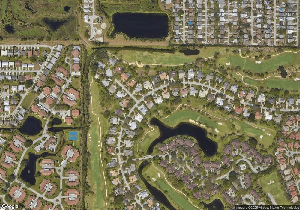
Map
Nearby Homes
- 5201 SE Burning Tree Cir
- 6061 SE Medinah Ln
- 5220 SE Burning Tree Cir
- 5151 SE Burning Tree Cir
- 5929 SE Collins Ave
- 5011 SE Brandywine Way
- 5071 SE Brandywine Way Unit 8
- 5101 SE Burning Tree Cir
- 6531 SE Federal Hwy Unit K-202
- 6531 SE Federal Hwy Unit 101
- 6531 SE Federal Hwy Unit N106
- 6531 SE Federal Hwy Unit Q 107
- 6531 SE Federal Hwy Unit F-107
- 6531 SE Federal Hwy Unit J202
- 6531 SE Federal Hwy Unit S201
- 6531 SE Federal Hwy Unit M111
- 6531 SE Federal Hwy Unit D112
- 5081 SE Burning Tree Cir
- 5879 SE Wilsie Dr
- 5311 SE Brandywine Way Unit 28
- 5200 SE Burning Tree Cir
- 5180 SE Burning Tree Cir
- 5191 SE Burning Tree Cir
- 5210 SE Burning Tree Cir
- 5170 SE Burning Tree Cir
- 5205 SE Burning Tree Cir
- 6081 SE Medinah Ln
- 5211 SE Burning Tree Cir
- 5171 SE Burning Tree Cir
- 6082 SE Medinah Ln
- 6071 SE Medinah Ln
- 5221 SE Burning Tree Cir
- 5150 SE Burning Tree Cir
- 5161 SE Burning Tree Cir
- 6072 SE Medinah Ln
- 5231 SE Burning Tree Cir
- 5140 SE Burning Tree Cir
- 5240 SE Burning Tree Cir
- 5241 SE Burning Tree Cir