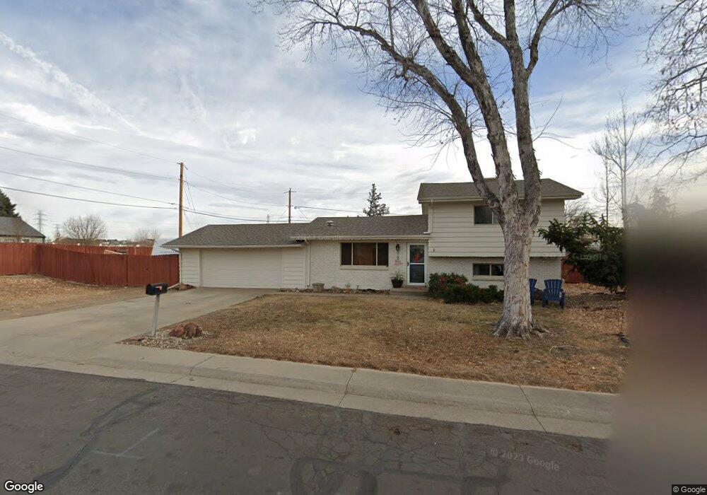
5190 Simms Place Wheat Ridge, CO 80033
Appleridge Estates NeighborhoodEstimated Value: $554,000 - $572,000
3
Beds
2
Baths
1,330
Sq Ft
$425/Sq Ft
Est. Value
About This Home
This home is located at 5190 Simms Place, Wheat Ridge, CO 80033 and is currently estimated at $565,000, approximately $424 per square foot. 5190 Simms Place is a home located in Jefferson County with nearby schools including Vanderhoof Elementary School, Drake Junior High School, and Arvada West High School.
Ownership History
Date
Name
Owned For
Owner Type
Purchase Details
Closed on
Jun 24, 2021
Sold by
Corporate Properties Inc
Bought by
Fulkerson Eric and Fulkerson Julie
Current Estimated Value
Home Financials for this Owner
Home Financials are based on the most recent Mortgage that was taken out on this home.
Original Mortgage
$426,700
Outstanding Balance
$386,324
Interest Rate
2.9%
Mortgage Type
New Conventional
Estimated Equity
$178,676
Purchase Details
Closed on
Mar 10, 2021
Sold by
Gonyea David L
Bought by
Corporate Properties Inc
Create a Home Valuation Report for This Property
The Home Valuation Report is an in-depth analysis detailing your home's value as well as a comparison with similar homes in the area
Home Values in the Area
Average Home Value in this Area
Purchase History
| Date | Buyer | Sale Price | Title Company |
|---|---|---|---|
| Fulkerson Eric | $512,000 | Wfg National Title | |
| Corporate Properties Inc | $400,000 | Wfg National Title |
Source: Public Records
Mortgage History
| Date | Status | Borrower | Loan Amount |
|---|---|---|---|
| Open | Fulkerson Eric | $426,700 |
Source: Public Records
Tax History
| Year | Tax Paid | Tax Assessment Tax Assessment Total Assessment is a certain percentage of the fair market value that is determined by local assessors to be the total taxable value of land and additions on the property. | Land | Improvement |
|---|---|---|---|---|
| 2024 | $3,254 | $35,423 | $21,867 | $13,556 |
| 2023 | $3,254 | $35,423 | $21,867 | $13,556 |
| 2022 | $2,755 | $29,706 | $16,733 | $12,973 |
| 2021 | $2,144 | $30,562 | $17,215 | $13,347 |
| 2020 | $1,637 | $25,046 | $12,446 | $12,600 |
| 2019 | $1,614 | $25,046 | $12,446 | $12,600 |
| 2018 | $1,403 | $22,314 | $7,948 | $14,366 |
| 2017 | $1,279 | $22,314 | $7,948 | $14,366 |
| 2016 | $786 | $16,652 | $6,280 | $10,372 |
| 2015 | $712 | $16,652 | $6,280 | $10,372 |
| 2014 | $712 | $14,797 | $5,731 | $9,066 |
Source: Public Records
Map
Nearby Homes
- 5240 Routt Ct Unit B
- 5218 Routt St Unit A
- 5182 Rob Way
- 5192 Rob Way
- 11890 W 52nd Ave
- 5188 Rob Way
- 5134 Queen Ct
- 5378 Routt St Unit B
- 11463 W 53rd Place
- 5327 Quail Way
- 11232 W 53rd Dr
- 5365 Quail St
- 5181 Vivian St
- 12336 W 52nd Ave
- 12340 W 51st Ave
- 12323 Ridge Rd
- 4794 Swadley St
- 11237 W 55th Ln
- 5555 Ward Rd
- 12294 W 56th Place
- 5180 Simms Place
- 5175 Simms Place
- 11721 W 52nd Ave
- 0 W Ridge Road & N Robb St
- W Ridge Road & N Robb St
- W Ridge Road & N Robb St
- 5201 Routt Ct
- 5160 Simms Place
- 5155 Simms Place
- 5190 Swadley St
- 5170 Swadley St
- 5221 Routt Ct
- 5140 Simms Place
- 5145 Simms Place
- 5140 Swadley St
- 5225 Swadley St
- 5231 Routt Ct
- 5110 Simms Place
- 5195 Swadley St
- 5220 Swadley St
Your Personal Tour Guide
Ask me questions while you tour the home.