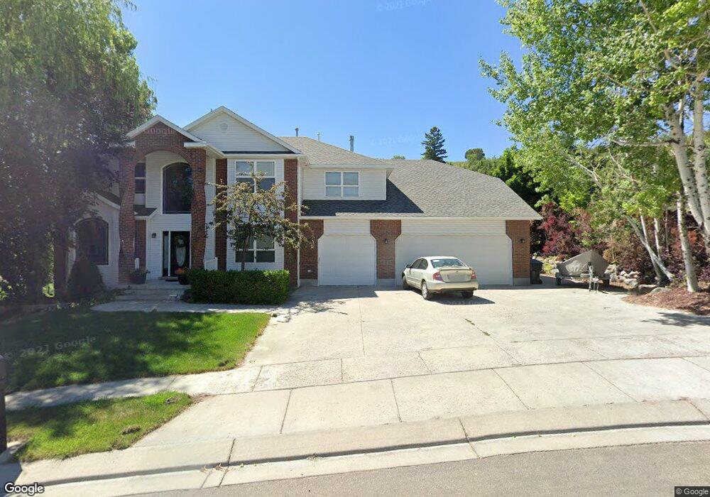
5191 Daisy Ln Pocatello, ID 83204
West Pocatello NeighborhoodEstimated Value: $658,000 - $699,000
6
Beds
4
Baths
4,447
Sq Ft
$152/Sq Ft
Est. Value
About This Home
This home is located at 5191 Daisy Ln, Pocatello, ID 83204 and is currently estimated at $677,534, approximately $152 per square foot. 5191 Daisy Ln is a home located in Bannock County with nearby schools including Indian Hills Elementary School, Irving Middle School, and Pocatello High School.
Ownership History
Date
Name
Owned For
Owner Type
Purchase Details
Closed on
Jun 30, 2014
Sold by
Advantage Plus Federal Credit Union
Bought by
Wilkey Shane and Wilkey Tiffani
Current Estimated Value
Home Financials for this Owner
Home Financials are based on the most recent Mortgage that was taken out on this home.
Original Mortgage
$280,000
Outstanding Balance
$204,060
Interest Rate
3.05%
Mortgage Type
Adjustable Rate Mortgage/ARM
Estimated Equity
$473,474
Purchase Details
Closed on
Apr 1, 2014
Sold by
Echohawk Paul and Echohawk Stephanie
Bought by
Advantage Plus Fcu
Create a Home Valuation Report for This Property
The Home Valuation Report is an in-depth analysis detailing your home's value as well as a comparison with similar homes in the area
Home Values in the Area
Average Home Value in this Area
Purchase History
| Date | Buyer | Sale Price | Title Company |
|---|---|---|---|
| Wilkey Shane | -- | Pioneer Title Pocatello | |
| Advantage Plus Fcu | $2,403 | None Available |
Source: Public Records
Mortgage History
| Date | Status | Borrower | Loan Amount |
|---|---|---|---|
| Open | Wilkey Shane | $280,000 |
Source: Public Records
Tax History Compared to Growth
Tax History
| Year | Tax Paid | Tax Assessment Tax Assessment Total Assessment is a certain percentage of the fair market value that is determined by local assessors to be the total taxable value of land and additions on the property. | Land | Improvement |
|---|---|---|---|---|
| 2024 | $5,551 | $583,828 | $81,000 | $502,828 |
| 2023 | $6,211 | $611,236 | $81,000 | $530,236 |
| 2022 | $6,211 | $443,242 | $67,500 | $375,742 |
| 2021 | $5,329 | $472,800 | $60,000 | $412,800 |
| 2020 | $4,643 | $396,740 | $54,675 | $342,065 |
| 2019 | $5,469 | $384,206 | $67,500 | $316,706 |
| 2018 | $4,711 | $313,396 | $45,000 | $268,396 |
| 2017 | $4,675 | $313,396 | $45,000 | $268,396 |
| 2016 | $4,749 | $313,396 | $45,000 | $268,396 |
| 2015 | $4,909 | $0 | $0 | $0 |
| 2012 | -- | $313,328 | $45,000 | $268,328 |
Source: Public Records
Map
Nearby Homes
- 1975 Arlington Dr
- 1675 Foxmore St
- 1605 Foxmore St
- 4785 Kim Dr
- 5175 Ethans Way
- 1479 Huntington Dr
- 1459 Foxmore St
- 4780 Clearview Ave
- 5431 Nez Perce Dr
- 1420 Cedar Lake Rd
- 0 N Stephanie Rd
- 1325 Cedar Lake Rd
- 1160 Sage Dr
- 5067 Arapahoe St
- 5027 Apache Ave
- 6183 Arapahoe St
- 6042 Flint Cir
- 6187 Arapahoe St
- 6193 Arapahoe St
- 9075 W Stoney Creek