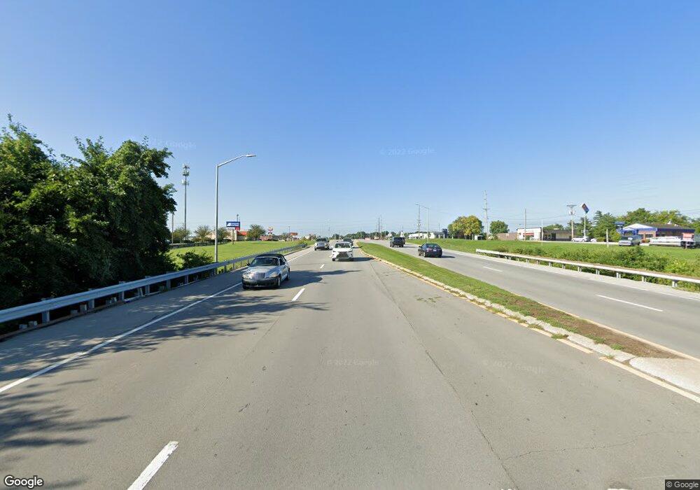
5191 Us Highway 127 S Frankfort, KY 40601
Estimated Value: $334,000 - $712,841
--
Bed
--
Bath
--
Sq Ft
32.65
Acres
About This Home
This home is located at 5191 Us Highway 127 S, Frankfort, KY 40601 and is currently estimated at $461,710. 5191 Us Highway 127 S is a home with nearby schools including Bridgeport Elementary School, Bondurant Middle School, and Western Hills High School.
Ownership History
Date
Name
Owned For
Owner Type
Purchase Details
Closed on
Nov 22, 2022
Sold by
Morse Kelly D and Kelly Jeanne
Bought by
Roten Kendall Lee and Hicks Jennifer Jo
Current Estimated Value
Home Financials for this Owner
Home Financials are based on the most recent Mortgage that was taken out on this home.
Original Mortgage
$495,000
Outstanding Balance
$459,150
Interest Rate
6.94%
Mortgage Type
New Conventional
Estimated Equity
$2,560
Create a Home Valuation Report for This Property
The Home Valuation Report is an in-depth analysis detailing your home's value as well as a comparison with similar homes in the area
Home Values in the Area
Average Home Value in this Area
Purchase History
| Date | Buyer | Sale Price | Title Company |
|---|---|---|---|
| Roten Kendall Lee | $600,000 | -- |
Source: Public Records
Mortgage History
| Date | Status | Borrower | Loan Amount |
|---|---|---|---|
| Open | Roten Kendall Lee | $495,000 |
Source: Public Records
Tax History Compared to Growth
Tax History
| Year | Tax Paid | Tax Assessment Tax Assessment Total Assessment is a certain percentage of the fair market value that is determined by local assessors to be the total taxable value of land and additions on the property. | Land | Improvement |
|---|---|---|---|---|
| 2024 | $5,421 | $449,133 | $0 | $0 |
| 2023 | $5,367 | $449,133 | $0 | $0 |
| 2022 | $3,571 | $301,633 | $0 | $0 |
| 2021 | $3,543 | $301,633 | $0 | $0 |
| 2020 | $3,316 | $279,795 | $17,295 | $262,500 |
| 2019 | $3,385 | $279,795 | $17,295 | $262,500 |
| 2018 | $3,377 | $279,795 | $17,295 | $262,500 |
| 2017 | -- | $274,625 | $12,125 | $262,500 |
| 2016 | $3,132 | $274,625 | $12,125 | $262,500 |
| 2015 | $2,363 | $274,625 | $12,125 | $262,500 |
| 2011 | $2,363 | $270,801 | $8,301 | $262,500 |
Source: Public Records
Map
Nearby Homes
- 200 Adams Ln Unit 9
- 00 Cherry Ln
- 215 Cherry Ln
- 245 Cherry Ln
- 46 Meadowbrook Dr
- 403 Wash Rd
- 120 Edgewood Dr
- 118 Edgewood Dr
- 2400 Evergreen Rd
- 209 Brookfield Dr
- 113 Hillway Ln
- 208 Creekside Ln
- 106 Coolbrook Dr
- 1016 Mccormick Ln
- 116 Wellington Ln
- 1604 Alton Rd
- 1006 Northwood Loop
- 312 Sandstone Dr
- Tract 13 Lanes Mill Rd
- 1725 Veterans Unit LOT 30
- 5277 127 Us S
- 5277 Us Highway 127 S
- 127 Us 127 S
- 50 Green Wilson Rd
- 114 Green Wilson Rd
- 75 Green Wilson Rd
- 152 Green Wilson Rd
- 125 Green Wilson Rd
- 125 Green-Wilson Rd
- 176 Green Wilson Rd
- 190 Green Wilson Rd
- Tract 11 Mills Ln
- 165 Green Wilson Rd
- 83 Iron Dr
- 31 Demerson Ln
- 66 Iron Dr
- 142 Mills Ln
- 41 Demerson Ln
- 99 Iron Dr
- 100 Iron Dr
