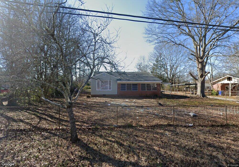
5193 Adams St NE Covington, GA 30014
Estimated Value: $221,234 - $272,000
--
Bed
1
Bath
1,468
Sq Ft
$171/Sq Ft
Est. Value
About This Home
This home is located at 5193 Adams St NE, Covington, GA 30014 and is currently estimated at $251,309, approximately $171 per square foot. 5193 Adams St NE is a home located in Newton County with nearby schools including East Newton Elementary School, Cousins Middle School, and Eastside High School.
Ownership History
Date
Name
Owned For
Owner Type
Purchase Details
Closed on
Apr 25, 2018
Sold by
Kaoua Raoul
Bought by
Dusa Kiranmai and Vittal Praveen
Current Estimated Value
Home Financials for this Owner
Home Financials are based on the most recent Mortgage that was taken out on this home.
Original Mortgage
$104,900
Interest Rate
4.44%
Mortgage Type
New Conventional
Purchase Details
Closed on
Feb 13, 2018
Sold by
Tuggle Jan L
Bought by
Kaoua Raoul and Kaoua Yvonne
Purchase Details
Closed on
Nov 19, 1998
Sold by
Tuggle Kim A
Bought by
Tuggle Jan L
Create a Home Valuation Report for This Property
The Home Valuation Report is an in-depth analysis detailing your home's value as well as a comparison with similar homes in the area
Home Values in the Area
Average Home Value in this Area
Purchase History
| Date | Buyer | Sale Price | Title Company |
|---|---|---|---|
| Dusa Kiranmai | $129,900 | -- | |
| Kaoua Raoul | $65,000 | -- | |
| Tuggle Jan L | -- | -- |
Source: Public Records
Mortgage History
| Date | Status | Borrower | Loan Amount |
|---|---|---|---|
| Closed | Dusa Kiranmai | $104,900 |
Source: Public Records
Tax History Compared to Growth
Tax History
| Year | Tax Paid | Tax Assessment Tax Assessment Total Assessment is a certain percentage of the fair market value that is determined by local assessors to be the total taxable value of land and additions on the property. | Land | Improvement |
|---|---|---|---|---|
| 2024 | $2,433 | $80,560 | $17,200 | $63,360 |
| 2023 | $2,257 | $69,440 | $8,800 | $60,640 |
| 2022 | $2,076 | $63,880 | $8,800 | $55,080 |
| 2021 | $1,963 | $54,040 | $8,800 | $45,240 |
| 2020 | $1,865 | $46,760 | $8,800 | $37,960 |
| 2019 | $1,919 | $47,240 | $8,800 | $38,440 |
| 2018 | $436 | $24,480 | $6,000 | $18,480 |
| 2017 | $540 | $16,400 | $2,000 | $14,400 |
| 2016 | $573 | $17,200 | $2,800 | $14,400 |
| 2015 | $459 | $14,400 | $2,000 | $12,400 |
| 2014 | $461 | $14,400 | $0 | $0 |
Source: Public Records
Map
Nearby Homes
- 5139 West Dr NE
- 6127 Floyd St NE
- 5130 N Dearing St NE
- 6104 Floyd St NE
- 4181 A&B Floyd St NE
- 4105 Rose Ln NE
- 5118 Floyd St NE
- 4128 Elizabeth St NE
- 4217 Elizabeth St NE
- 0 Highway 278 NE Unit 10595588
- 5150 Wheat St NE
- 3127 Mill St SE
- 3149 Thompson Ave SE
- 6192 Collins St NE
- 6193 Collins St NE
- 3183 Conyers St SE
- 3112 Floyd St NE
- 4187 Cherry Laurel Dr SE
- 13238 Tolstoy
- 7128 Honeysuckle Ct SE
- 0 Hazel St NE Unit 8838046
- 5201 Adams St NE
- 5183 Adams St NE
- 5211 Adams St
- 5181 Hazel St NE
- 5190 Adams St NE
- 5193 Hazel St NE
- 5200 Adams St NE
- 5171 Adams St NE
- 5169 Hazel St NE
- 5184 Adams St NE
- 5219 Adams St NE
- 5210 Adams St NE
- 5199 Hazel St NE
- 5161 Hazel St NE
- 5172 Adams St NE
- 5161 Adams St NE
- 5157 Hazel St NE
- 5218 Adams St NE
- 5209 Hazel St NE