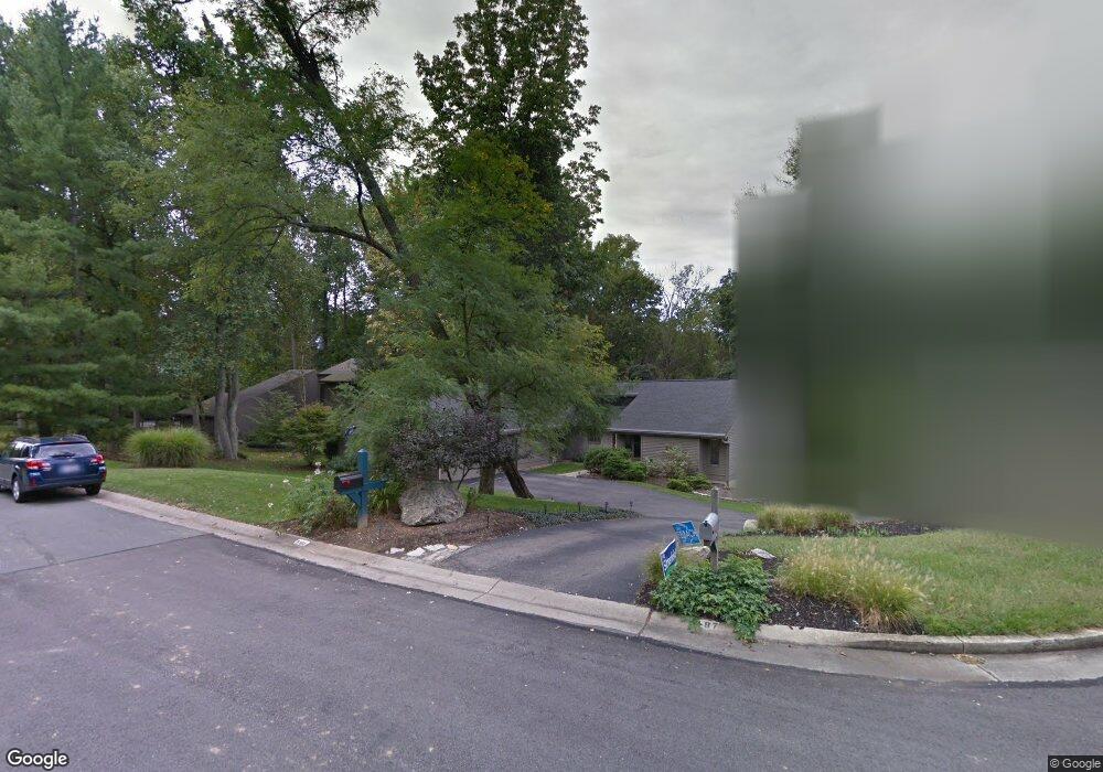
5193 Adena Trail Cincinnati, OH 45230
Mount Washington NeighborhoodEstimated Value: $513,795 - $544,000
5
Beds
4
Baths
2,173
Sq Ft
$242/Sq Ft
Est. Value
About This Home
This home is located at 5193 Adena Trail, Cincinnati, OH 45230 and is currently estimated at $525,949, approximately $242 per square foot. 5193 Adena Trail is a home located in Hamilton County with nearby schools including Mt. Washington Elementary School, Clark Montessori High School, and Shroder High School.
Ownership History
Date
Name
Owned For
Owner Type
Purchase Details
Closed on
Oct 24, 2002
Sold by
Radin William G and Radin Ruth B
Bought by
Hawkins John M and Nawaz Sara A
Current Estimated Value
Home Financials for this Owner
Home Financials are based on the most recent Mortgage that was taken out on this home.
Original Mortgage
$300,700
Outstanding Balance
$125,789
Interest Rate
6.13%
Estimated Equity
$400,160
Purchase Details
Closed on
Dec 16, 1999
Sold by
Steinher Steinher Raymond D
Bought by
Radin William G and Radin Ruth B
Home Financials for this Owner
Home Financials are based on the most recent Mortgage that was taken out on this home.
Original Mortgage
$225,000
Interest Rate
6.5%
Create a Home Valuation Report for This Property
The Home Valuation Report is an in-depth analysis detailing your home's value as well as a comparison with similar homes in the area
Home Values in the Area
Average Home Value in this Area
Purchase History
| Date | Buyer | Sale Price | Title Company |
|---|---|---|---|
| Hawkins John M | $386,300 | -- | |
| Radin William G | $300,000 | -- |
Source: Public Records
Mortgage History
| Date | Status | Borrower | Loan Amount |
|---|---|---|---|
| Open | Hawkins John M | $300,700 | |
| Previous Owner | Radin William G | $225,000 | |
| Closed | Hawkins John M | $46,925 |
Source: Public Records
Tax History Compared to Growth
Tax History
| Year | Tax Paid | Tax Assessment Tax Assessment Total Assessment is a certain percentage of the fair market value that is determined by local assessors to be the total taxable value of land and additions on the property. | Land | Improvement |
|---|---|---|---|---|
| 2024 | $8,700 | $145,362 | $24,290 | $121,072 |
| 2023 | $8,896 | $145,362 | $24,290 | $121,072 |
| 2022 | $7,200 | $105,421 | $21,368 | $84,053 |
| 2021 | $6,923 | $105,421 | $21,368 | $84,053 |
| 2020 | $7,125 | $105,421 | $21,368 | $84,053 |
| 2019 | $7,075 | $95,837 | $19,425 | $76,412 |
| 2018 | $7,085 | $95,837 | $19,425 | $76,412 |
| 2017 | $6,731 | $95,837 | $19,425 | $76,412 |
| 2016 | $6,512 | $91,424 | $19,320 | $72,104 |
| 2015 | $5,871 | $91,424 | $19,320 | $72,104 |
| 2014 | $5,913 | $91,424 | $19,320 | $72,104 |
| 2013 | $6,537 | $99,372 | $21,000 | $78,372 |
Source: Public Records
Map
Nearby Homes
- 1588 Moon Valley Ln
- 1491 Apple Farm Ln
- 1484 Apple Farm Ln
- 1190 Linden Hill Ln
- 1178 Linden Hill Ln
- 5750 Salem Rd
- 6050 Bagdad Dr
- 6055 Tridale Ct
- 1221 Mistymeadow Ln
- 6071 Tridale Ct
- 1267 Cristway Ct
- 6113 Wayside Ct
- 1508 Beth Ln
- 3 Salem Rd
- 4 Salem Rd
- 2 Salem Rd
- 1549 Sutton Ave
- 2121 Sutton Ave
- 6060 Luwista Ln
- 6137 Benneville St
- 5199 Adena Trail
- 5187 Adena Trail
- 5181 Adena Trail
- 5205 Adena Trail
- 5196 Adena Trail
- 5175 Adena Trail
- 5190 Adena Trail
- 5180 Adena Trail
- 5211 Adena Trail
- 5172 Adena Trail
- 5202 Adena Trail
- 5217 Adena Trail
- 5214 Adena Trail
- 5220 Adena Trail
- 5200 Salem Hills Ln
- 5206 Salem Hills Ln
- 5788 Eaglesridge Ln
- 5223 Adena Trail
- 5190 Salem Hills Ln
- 5212 Salem Hills Ln