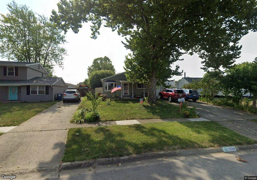
5194 Meadowbrook Dr Columbus, OH 43207
Obetz-Lockbourne NeighborhoodEstimated Value: $215,000 - $245,000
5
Beds
1
Bath
1,325
Sq Ft
$175/Sq Ft
Est. Value
About This Home
This home is located at 5194 Meadowbrook Dr, Columbus, OH 43207 and is currently estimated at $231,995, approximately $175 per square foot. 5194 Meadowbrook Dr is a home located in Franklin County with nearby schools including Hamilton Elementary School, Hamilton Intermediate School, and Hamilton Middle School.
Ownership History
Date
Name
Owned For
Owner Type
Purchase Details
Closed on
May 21, 1996
Sold by
Mcmann Anita B
Bought by
Barksdale Richard A
Current Estimated Value
Home Financials for this Owner
Home Financials are based on the most recent Mortgage that was taken out on this home.
Original Mortgage
$84,750
Outstanding Balance
$2,447
Interest Rate
8%
Mortgage Type
VA
Estimated Equity
$229,548
Create a Home Valuation Report for This Property
The Home Valuation Report is an in-depth analysis detailing your home's value as well as a comparison with similar homes in the area
Home Values in the Area
Average Home Value in this Area
Purchase History
| Date | Buyer | Sale Price | Title Company |
|---|---|---|---|
| Barksdale Richard A | $82,500 | -- |
Source: Public Records
Mortgage History
| Date | Status | Borrower | Loan Amount |
|---|---|---|---|
| Open | Barksdale Richard A | $84,750 |
Source: Public Records
Tax History
| Year | Tax Paid | Tax Assessment Tax Assessment Total Assessment is a certain percentage of the fair market value that is determined by local assessors to be the total taxable value of land and additions on the property. | Land | Improvement |
|---|---|---|---|---|
| 2025 | $3,120 | $68,290 | $17,400 | $50,890 |
| 2024 | $3,120 | $68,290 | $17,400 | $50,890 |
| 2023 | $3,248 | $68,285 | $17,395 | $50,890 |
| 2022 | $2,255 | $38,930 | $6,130 | $32,800 |
| 2021 | $2,140 | $38,930 | $6,130 | $32,800 |
| 2020 | $2,179 | $38,930 | $6,130 | $32,800 |
| 2019 | $2,050 | $32,450 | $5,110 | $27,340 |
| 2018 | $2,033 | $32,450 | $5,110 | $27,340 |
| 2017 | $1,935 | $32,450 | $5,110 | $27,340 |
| 2016 | $2,153 | $33,290 | $6,200 | $27,090 |
| 2015 | $2,042 | $33,290 | $6,200 | $27,090 |
| 2014 | $2,032 | $33,290 | $6,200 | $27,090 |
| 2013 | $1,087 | $36,995 | $6,895 | $30,100 |
Source: Public Records
Map
Nearby Homes
- 5220 Edgeview Rd
- 863 Cherrydale Ave
- 4926 Meadowbrook Dr
- 5076 Ranger Dr Unit Lot 100
- 1291 Webb Dr Unit Lot 90
- 1307 Webb Dr Unit Lot 92
- 1315 Webb Dr Unit Lot 93
- 908 Tecumseh Ave
- 4436 Wesley Trail
- 1132 Ayrshire Dr
- 4410 Holstein Dr
- 4344 Brett Ln
- 4356 Monterey Ct
- 4455 Catamaran Dr
- 1962 Reese Ave
- 4412 Catamaran Dr
- 1987 Reese Ave
- 2027 Reese Ave
- 4801 Obetz Reese Rd
- 4150 Martinsburg Dr
- 908 Premier Dr
- 5219 Fairlane Rd
- 5213 Fairlane Rd
- 5180 Meadowbrook Dr
- 916 Premier Dr
- 5187 Meadowbrook Dr
- 5205 Fairlane Rd
- 5174 Meadowbrook Dr
- 5195 Fairlane Rd
- 5173 Meadowbrook Dr
- 903 Premier Dr
- 897 Premier Dr
- 909 Premier Dr
- 5187 Fairlane Rd
- 884 Premier Dr
- 5164 Meadowbrook Dr
- 889 Premier Dr
- 919 Premier Dr
- 903 Grenada Rd
- 5220 Fairlane Rd
Your Personal Tour Guide
Ask me questions while you tour the home.