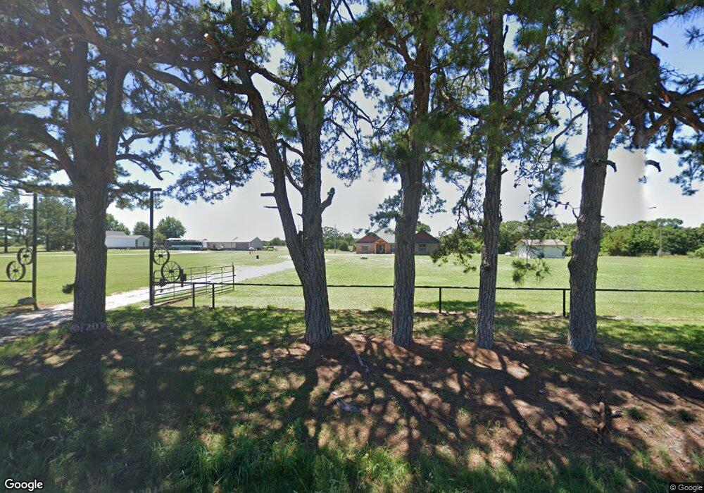
5195 N State Highway 43 Seneca, MO 64865
Estimated Value: $301,000 - $441,520
3
Beds
--
Bath
2,266
Sq Ft
$156/Sq Ft
Est. Value
About This Home
This home is located at 5195 N State Highway 43, Seneca, MO 64865 and is currently estimated at $354,173, approximately $156 per square foot. 5195 N State Highway 43 is a home with nearby schools including Seneca Elementary School, Seneca Intermediate School, and Seneca Junior High School.
Ownership History
Date
Name
Owned For
Owner Type
Purchase Details
Closed on
Feb 11, 2025
Sold by
Sterrett Lorna C
Bought by
Lorna Carr Sterrett Revocable Trust
Current Estimated Value
Purchase Details
Closed on
Dec 14, 2021
Sold by
Cory Inman
Bought by
Sterrett Lorna C
Purchase Details
Closed on
Dec 29, 2016
Sold by
Fannie Mae
Bought by
Inman Cory
Home Financials for this Owner
Home Financials are based on the most recent Mortgage that was taken out on this home.
Original Mortgage
$142,424
Interest Rate
4.03%
Mortgage Type
New Conventional
Create a Home Valuation Report for This Property
The Home Valuation Report is an in-depth analysis detailing your home's value as well as a comparison with similar homes in the area
Home Values in the Area
Average Home Value in this Area
Purchase History
| Date | Buyer | Sale Price | Title Company |
|---|---|---|---|
| Lorna Carr Sterrett Revocable Trust | -- | None Listed On Document | |
| Sterrett Lorna C | -- | New Title Company Name | |
| Sterrett Lorna C | -- | New Title Company Name | |
| Inman Cory | -- | Insight Title Company Llc |
Source: Public Records
Mortgage History
| Date | Status | Borrower | Loan Amount |
|---|---|---|---|
| Previous Owner | Inman Cory | $142,424 |
Source: Public Records
Tax History Compared to Growth
Tax History
| Year | Tax Paid | Tax Assessment Tax Assessment Total Assessment is a certain percentage of the fair market value that is determined by local assessors to be the total taxable value of land and additions on the property. | Land | Improvement |
|---|---|---|---|---|
| 2024 | $1,592 | $38,430 | $0 | $0 |
| 2023 | $1,592 | $38,430 | $0 | $0 |
| 2022 | $146 | $3,530 | $0 | $0 |
| 2021 | $922 | $22,260 | $0 | $0 |
| 2020 | $822 | $19,780 | $0 | $0 |
| 2019 | $822 | $19,780 | $0 | $0 |
| 2018 | $656 | $15,780 | $0 | $0 |
| 2017 | $656 | $15,780 | $0 | $0 |
| 2016 | $633 | $15,210 | $0 | $0 |
| 2015 | -- | $15,210 | $0 | $0 |
| 2014 | -- | $15,210 | $0 | $0 |
Source: Public Records
Map
Nearby Homes
- 21483 Antelope Rd
- 27501 S 705th Rd
- 681 & 825 Windwalker Ln
- 20540 State Route 43
- 71.8 Klondike Rd
- 37 acres Hwy
- 1203 State Highway 43
- 42 E 152 Rd
- 21207 Dove Rd
- 1553 Lone Dove Rd
- 67041 E 166 Rd
- Tbd Stogdon Hollow Rd
- 928 Price Ridge Rd
- 21501 S 705 Rd
- 65400 E 155 Rd
- 70190 E 240 Rd
- 64004 E 222nd
- 10.54+/- Acres Old Highway 60
- 2288 U S 60
- 5259 N State Highway 43
- 5141 N State Highway 43
- 5195 Missouri 43
- 5141 Missouri 43
- 5365 N State Highway 43
- 5053 N State Highway 43
- 5120 State Highway 43
- 5053 Missouri 43
- 5573 Missouri 43
- 5366 N State Highway 43
- 5573 N State Hwy 43
- 5450 N State Highway 43
- 4884 N State Highway 43
- 4884 N State Highway 43
- 55 Hart Rd
- 12157 Route B
- 12023 Route B
- 32 Valley Ln
- 4838 N State Highway 43
- 206 Hart Rd
