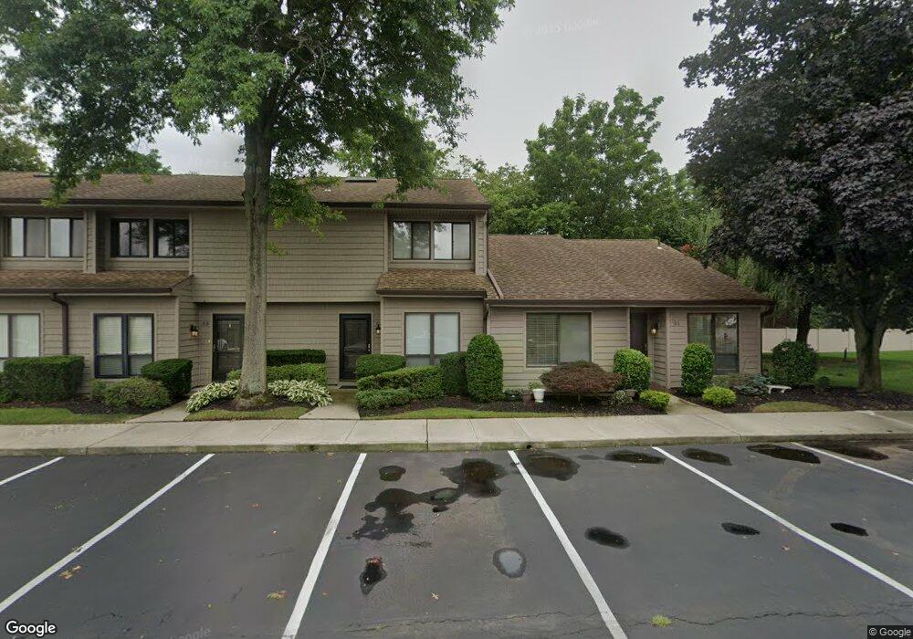
51A Stanford Ct Wantagh, NY 11793
Estimated Value: $632,000
--
Bed
--
Bath
1,092
Sq Ft
$579/Sq Ft
Est. Value
About This Home
This home is located at 51A Stanford Ct, Wantagh, NY 11793 and is currently estimated at $632,000, approximately $578 per square foot. 51A Stanford Ct is a home with nearby schools including Lee Road Elementary School, Jonas E. Salk Middle School, and Gen. Douglas MacArthur Senior High School.
Ownership History
Date
Name
Owned For
Owner Type
Purchase Details
Closed on
Nov 19, 2024
Sold by
Mccartin Doreen A and Theresa Mahoney Irrevocable Trust
Bought by
Mccartin Doreen A
Current Estimated Value
Purchase Details
Closed on
May 30, 2013
Sold by
Mahoney Theresa
Bought by
Mccartin Doreen A and Mahoney Richard J
Purchase Details
Closed on
Sep 11, 2008
Sold by
Knapp Jean
Bought by
Mahoney Theresa
Purchase Details
Closed on
Mar 26, 1997
Sold by
Pergolotti Phyllis
Bought by
Knapp Jean
Create a Home Valuation Report for This Property
The Home Valuation Report is an in-depth analysis detailing your home's value as well as a comparison with similar homes in the area
Home Values in the Area
Average Home Value in this Area
Purchase History
| Date | Buyer | Sale Price | Title Company |
|---|---|---|---|
| Mccartin Doreen A | -- | Macgregor Abstract Corp | |
| Mccartin Doreen A | -- | Macgregor Abstract Corp | |
| Mccartin Doreen A | -- | Macgregor Abstract Corp | |
| Mccartin Doreen A | -- | -- | |
| Mccartin Doreen A | -- | -- | |
| Mccartin Doreen A | -- | -- | |
| Mahoney Theresa | $410,000 | -- | |
| Mahoney Theresa | $410,000 | -- | |
| Knapp Jean | $167,500 | -- | |
| Knapp Jean | $167,500 | -- |
Source: Public Records
Tax History Compared to Growth
Tax History
| Year | Tax Paid | Tax Assessment Tax Assessment Total Assessment is a certain percentage of the fair market value that is determined by local assessors to be the total taxable value of land and additions on the property. | Land | Improvement |
|---|---|---|---|---|
| 2025 | $13,534 | $429 | $222 | $207 |
| 2024 | $2,847 | $429 | $222 | $207 |
| 2023 | $8,167 | $429 | $222 | $207 |
| 2022 | $8,082 | $429 | $222 | $207 |
| 2021 | $9,487 | $408 | $211 | $197 |
| 2020 | $9,666 | $584 | $444 | $140 |
| 2019 | $2,589 | $584 | $444 | $140 |
| 2018 | $2,494 | $584 | $0 | $0 |
| 2017 | $6,160 | $621 | $408 | $213 |
| 2016 | $8,712 | $675 | $422 | $253 |
| 2015 | $2,581 | $675 | $409 | $266 |
| 2014 | $2,581 | $675 | $409 | $266 |
| 2013 | $2,544 | $710 | $430 | $280 |
Source: Public Records
Map
Nearby Homes
- 84 Stanford Ct
- 236 Duckpond Dr S
- 200 Willowood Dr
- 231 Willowood Dr
- 55 Duckpond Dr N
- 27 Wildflower Ln
- 1100 Wantagh Ave
- 1243 Peapond Rd
- 3405 Lufberry Ave
- 3356 Carrollton Ave
- 86 Weaving Ln
- 2794 Janet Ave
- 1200 Roger Rd
- 22 Balsam Ct
- 2889 Anderson St
- 985 Douglas Ave
- 19 Wayside Ln
- 3418 Silverton Ave
- 1010 Brent Dr
- 1519 Wantagh Ave
- 51 Stanford Ct Unit A
- 52B Stanford Ct
- 52 Stanford Ct Unit B
- 53B Stanford Ct
- 53 Stanford Ct Unit B
- 54 Stanford Ct
- 55 Stanford Ct
- 50 Stanford Ct
- 49B Stanford Ct
- 49 Stanford Ct Unit B
- 56 Stanford Ct
- 48 Stanford Ct Unit C
- 65 Stanford Ct Unit C
- 65 Stanford Ct Unit 65C
- 47 Stanford Ct Unit C
- 68 Stanford Ct Unit A
- 64 Stanford Ct
- 67B Stanford Ct
- 66 Stanford Ct Unit C
- 67 Stanford Ct Unit B