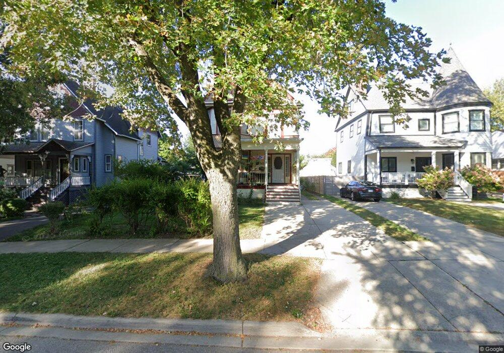
52 7th Ave La Grange, IL 60525
Estimated Value: $401,000 - $780,000
4
Beds
2
Baths
1,806
Sq Ft
$351/Sq Ft
Est. Value
About This Home
This home is located at 52 7th Ave, La Grange, IL 60525 and is currently estimated at $634,595, approximately $351 per square foot. 52 7th Ave is a home located in Cook County with nearby schools including Cossitt Avenue Elementary School, Park Junior High School, and Lyons Township High School.
Ownership History
Date
Name
Owned For
Owner Type
Purchase Details
Closed on
May 29, 2015
Sold by
Dombrowski Leo J
Bought by
Dombrowski John
Current Estimated Value
Home Financials for this Owner
Home Financials are based on the most recent Mortgage that was taken out on this home.
Original Mortgage
$100,000
Outstanding Balance
$76,902
Interest Rate
3.87%
Mortgage Type
New Conventional
Estimated Equity
$557,693
Purchase Details
Closed on
Feb 2, 1999
Sold by
Dombrowski Leopold A and Dombrowski Caroline V
Bought by
Dombrowski Leopold A and Dombrowski Caroline M
Create a Home Valuation Report for This Property
The Home Valuation Report is an in-depth analysis detailing your home's value as well as a comparison with similar homes in the area
Home Values in the Area
Average Home Value in this Area
Purchase History
| Date | Buyer | Sale Price | Title Company |
|---|---|---|---|
| Dombrowski John | $125,000 | Attorneys Title Guaranty Fun | |
| Dombrowski Leopold A | -- | -- |
Source: Public Records
Mortgage History
| Date | Status | Borrower | Loan Amount |
|---|---|---|---|
| Open | Dombrowski John | $100,000 |
Source: Public Records
Tax History
| Year | Tax Paid | Tax Assessment Tax Assessment Total Assessment is a certain percentage of the fair market value that is determined by local assessors to be the total taxable value of land and additions on the property. | Land | Improvement |
|---|---|---|---|---|
| 2025 | $11,333 | $49,000 | $7,750 | $41,250 |
| 2024 | $11,333 | $49,000 | $7,750 | $41,250 |
| 2023 | $8,690 | $49,000 | $7,750 | $41,250 |
| 2022 | $8,690 | $33,019 | $4,844 | $28,175 |
| 2021 | $8,373 | $33,017 | $4,843 | $28,174 |
| 2020 | $8,258 | $33,017 | $4,843 | $28,174 |
| 2019 | $10,173 | $40,305 | $4,456 | $35,849 |
| 2018 | $9,978 | $40,305 | $4,456 | $35,849 |
| 2017 | $9,730 | $40,305 | $4,456 | $35,849 |
| 2016 | $10,491 | $38,352 | $3,875 | $34,477 |
| 2015 | $11,101 | $40,584 | $3,875 | $36,709 |
| 2014 | $9,740 | $40,584 | $3,875 | $36,709 |
| 2013 | -- | $39,808 | $3,875 | $35,933 |
Source: Public Records
Map
Nearby Homes
- 75 6th Ave Unit 302
- 75 E Harris Ave Unit 3C
- 46 6th Ave Unit GJ
- 67 Bluff Ave
- 17 S Madison Ave
- 511 E Cossitt Ave
- 140 Sawyer Ave
- 225 Sawyer Ave
- 30 Washington Ave
- 141 N La Grange Rd Unit 1006
- 141 N La Grange Rd Unit 504
- 141 N La Grange Rd Unit 601
- 141 N La Grange Rd Unit 602
- 330 East Ave
- 347 S 8th Ave
- 314 Beach Ave
- 518 W Cossitt Ave
- 4423 Eberly Ave
- 36 N Waiola Ave
- 4214 Deyo Ave
Your Personal Tour Guide
Ask me questions while you tour the home.