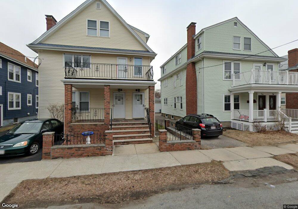
52 Amsden St Unit 54 Arlington, MA 02474
East Arlington NeighborhoodEstimated Value: $1,197,000 - $1,404,497
6
Beds
2
Baths
2,184
Sq Ft
$591/Sq Ft
Est. Value
About This Home
This home is located at 52 Amsden St Unit 54, Arlington, MA 02474 and is currently estimated at $1,291,124, approximately $591 per square foot. 52 Amsden St Unit 54 is a home located in Middlesex County with nearby schools including Hardy Elementary School, Thompson School, and Ottoson Middle School.
Ownership History
Date
Name
Owned For
Owner Type
Purchase Details
Closed on
Jan 21, 2016
Sold by
Romano Rita
Bought by
Romano Rita and Romano Robert J
Current Estimated Value
Purchase Details
Closed on
Jul 20, 2010
Sold by
Dicecca Salvatore
Bought by
Romano Rita and Dicecca Salvatore
Purchase Details
Closed on
May 1, 1975
Bought by
Romano Rita and Romano Robert J
Create a Home Valuation Report for This Property
The Home Valuation Report is an in-depth analysis detailing your home's value as well as a comparison with similar homes in the area
Home Values in the Area
Average Home Value in this Area
Purchase History
| Date | Buyer | Sale Price | Title Company |
|---|---|---|---|
| Romano Rita | -- | -- | |
| Romano Rita | -- | -- | |
| Romano Rita | $48,800 | -- |
Source: Public Records
Tax History Compared to Growth
Tax History
| Year | Tax Paid | Tax Assessment Tax Assessment Total Assessment is a certain percentage of the fair market value that is determined by local assessors to be the total taxable value of land and additions on the property. | Land | Improvement |
|---|---|---|---|---|
| 2025 | $11,967 | $1,111,100 | $567,800 | $543,300 |
| 2024 | $11,058 | $1,044,200 | $540,500 | $503,700 |
| 2023 | $11,115 | $991,500 | $453,200 | $538,300 |
| 2022 | $11,083 | $970,500 | $436,800 | $533,700 |
| 2021 | $10,745 | $947,500 | $436,800 | $510,700 |
| 2020 | $10,479 | $947,500 | $436,800 | $510,700 |
| 2019 | $9,574 | $850,300 | $464,100 | $386,200 |
| 2018 | $8,791 | $724,700 | $338,500 | $386,200 |
| 2017 | $8,275 | $658,800 | $294,800 | $364,000 |
| 2016 | $7,875 | $615,200 | $251,200 | $364,000 |
| 2015 | $7,760 | $572,700 | $245,700 | $327,000 |
Source: Public Records
Map
Nearby Homes
- 215 Massachusetts Ave Unit 19 (34)
- 57 Garrison Ave
- 230 Massachusetts Ave Unit 6
- 3 Seagrave Rd
- 6 Hamilton Rd Unit 6
- 23 Brookford St
- 23 Brookford St Unit 2
- 23 Brookford St Unit 1
- 34 Belknap St
- 128 Thorndike St Unit 2
- 69 Clarendon Ave Unit A
- 137-139 Thorndike St Unit 2
- 19 Cottage Park Ave
- 235 Powder House Blvd
- 11 Watson St Unit 1
- 11 Watson St Unit 2
- 202 Powder House Blvd Unit 2
- 24 Washburn Ave Unit 1
- 97 Elmwood St Unit 313
- 97 Elmwood St Unit 110
- 56 Amsden St Unit 58
- 48 Amsden St Unit 50
- 48 Amsden St Unit 1
- 48-50 Amsden St
- 48-50 Amsden St Unit 50
- 48-50 Amsden St Unit 48
- 46 Amsden St Unit 46
- 60 Amsden St Unit 62
- 60 Amsden St Unit 1
- 60 Amsden St
- 62 Amsden St
- 62 Amsden St Unit 62
- 44 Amsden St Unit 46
- 51 Windsor St Unit 53
- 47 Windsor St Unit 49
- 64 Amsden St Unit 66
- 64 Amsden St Unit 1
- 40 Amsden St Unit 42
- 55 Windsor St Unit 57
- 51 Amsden St Unit 53