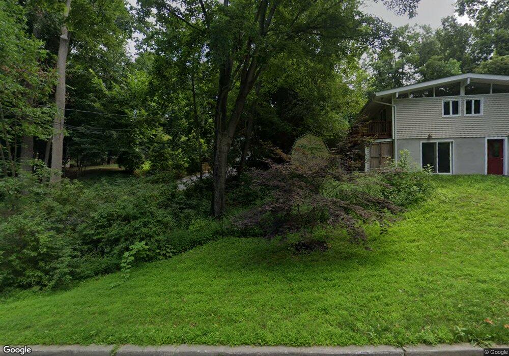
52 Anderson Rd Unit 2 Katonah, NY 10536
Estimated Value: $716,487 - $1,218,000
2
Beds
1
Bath
800
Sq Ft
$1,141/Sq Ft
Est. Value
About This Home
This home is located at 52 Anderson Rd Unit 2, Katonah, NY 10536 and is currently estimated at $912,622, approximately $1,140 per square foot. 52 Anderson Rd Unit 2 is a home located in Westchester County with nearby schools including Katonah Elementary School, John Jay Middle School, and John Jay High School.
Ownership History
Date
Name
Owned For
Owner Type
Purchase Details
Closed on
Nov 10, 2020
Sold by
Davi Catherine and Meluzio Benito
Bought by
Capitvated Ltd
Current Estimated Value
Purchase Details
Closed on
Dec 21, 2018
Sold by
Davi Catherine
Bought by
Davi Catherine and Meluzio Benito
Purchase Details
Closed on
Mar 26, 2018
Sold by
Acqua Capital Llc
Bought by
Davi Catherine
Home Financials for this Owner
Home Financials are based on the most recent Mortgage that was taken out on this home.
Original Mortgage
$235,000
Interest Rate
4.46%
Mortgage Type
New Conventional
Purchase Details
Closed on
Nov 3, 2017
Sold by
Parisi Guy
Bought by
Acqua Capital Llc
Create a Home Valuation Report for This Property
The Home Valuation Report is an in-depth analysis detailing your home's value as well as a comparison with similar homes in the area
Home Values in the Area
Average Home Value in this Area
Purchase History
| Date | Buyer | Sale Price | Title Company |
|---|---|---|---|
| Capitvated Ltd | $670,000 | Court Street Abstract Inc | |
| Captivated Ltd | $670,000 | None Listed On Document | |
| Davi Catherine | -- | Island Abstract Inc | |
| Davi Catherine | $395,000 | Judicial Title | |
| Davi Catherine | $395,000 | Island Abstract Inc | |
| Acqua Capital Llc | $310,000 | Hawthorne Abstract Corp |
Source: Public Records
Mortgage History
| Date | Status | Borrower | Loan Amount |
|---|---|---|---|
| Previous Owner | Davi Catherine | $235,000 |
Source: Public Records
Tax History
| Year | Tax Paid | Tax Assessment Tax Assessment Total Assessment is a certain percentage of the fair market value that is determined by local assessors to be the total taxable value of land and additions on the property. | Land | Improvement |
|---|---|---|---|---|
| 2024 | $12,692 | $45,000 | $10,300 | $34,700 |
| 2023 | $12,657 | $45,000 | $10,300 | $34,700 |
| 2022 | $12,235 | $45,000 | $10,300 | $34,700 |
| 2021 | $12,626 | $45,000 | $10,300 | $34,700 |
| 2020 | $12,158 | $45,000 | $10,300 | $34,700 |
| 2019 | $12,457 | $45,000 | $10,300 | $34,700 |
| 2018 | $52,405 | $45,000 | $10,300 | $34,700 |
| 2017 | $5,146 | $45,000 | $10,300 | $34,700 |
| 2016 | $12,430 | $45,000 | $10,300 | $34,700 |
| 2015 | -- | $45,000 | $10,300 | $34,700 |
| 2014 | -- | $45,000 | $10,300 | $34,700 |
| 2013 | -- | $45,000 | $10,300 | $34,700 |
Source: Public Records
Map
Nearby Homes
- 63 Meadow Ln
- 6 Douglas Dr
- 31 Old Deer Park Rd
- 21 Croton Lake Rd Unit 20
- 48 Mustato Rd
- 119 Goldens Bridge Rd
- 34 Sunrise Ave
- 126 Croton Lake Rd
- 161 Goldens Bridge Rd
- 208 Harris Rd Unit HA-3
- 208 Harris Rd Unit BA1
- 22 Bedford Ave
- 5 High St
- 16 Primrose St
- 48 Lake Marie Ln
- 50 Woodland Rd
- 578 Cross River Rd
- 484 Bedford Rd
- 12 Skytop Dr
- 10 Skytop Dr
- 52 Anderson Rd
- 52 Anderson Rd Unit 1
- 58 Anderson Rd Unit 1
- 58 Anderson Rd
- 58 Anderson Rd Unit 2
- 11 Summit Rd Unit 3
- 11 Summit Rd
- 13 Summit Rd
- 5 Cross St
- 9 Cross St
- 53 Anderson Rd
- 46 Anderson Rd
- 17 Summit Rd
- 11 Cross St
- 68 Anderson Rd
- 44 Anderson Rd
- 67 Anderson Rd
- 15 Cross St
- 21 Summit Rd
- 45 Anderson Rd
Your Personal Tour Guide
Ask me questions while you tour the home.