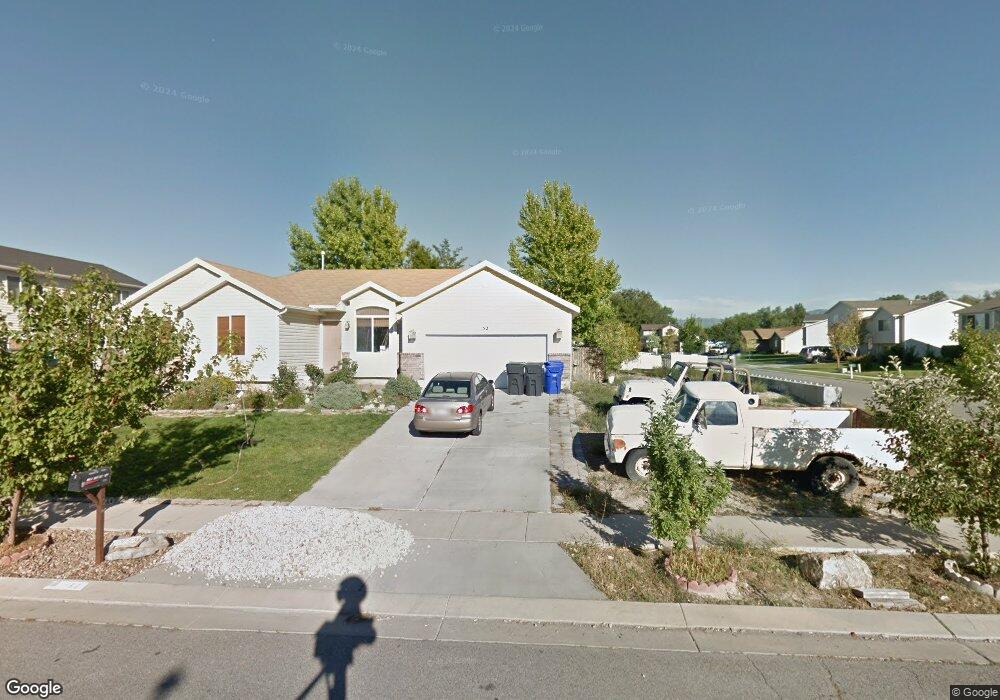
52 Aspen Way Grantsville, UT 84029
Estimated Value: $366,000 - $421,000
3
Beds
1
Bath
2,136
Sq Ft
$184/Sq Ft
Est. Value
About This Home
This home is located at 52 Aspen Way, Grantsville, UT 84029 and is currently estimated at $392,205, approximately $183 per square foot. 52 Aspen Way is a home located in Tooele County with nearby schools including Twenty Wells Elementary, Grantsville Junior High School, and Grantsville High School.
Ownership History
Date
Name
Owned For
Owner Type
Purchase Details
Closed on
Apr 25, 2006
Sold by
Secretary Of Hud
Bought by
Bolinder Bard
Current Estimated Value
Home Financials for this Owner
Home Financials are based on the most recent Mortgage that was taken out on this home.
Original Mortgage
$138,774
Outstanding Balance
$79,472
Interest Rate
6.3%
Mortgage Type
New Conventional
Estimated Equity
$312,733
Purchase Details
Closed on
Feb 15, 2006
Sold by
Mers Inc
Bought by
Secretary Of Hud
Create a Home Valuation Report for This Property
The Home Valuation Report is an in-depth analysis detailing your home's value as well as a comparison with similar homes in the area
Home Values in the Area
Average Home Value in this Area
Purchase History
| Date | Buyer | Sale Price | Title Company |
|---|---|---|---|
| Bolinder Bard | -- | Us Title Utah | |
| Secretary Of Hud | -- | Westland Title Ins Agen |
Source: Public Records
Mortgage History
| Date | Status | Borrower | Loan Amount |
|---|---|---|---|
| Open | Bolinder Bard | $138,774 |
Source: Public Records
Tax History Compared to Growth
Tax History
| Year | Tax Paid | Tax Assessment Tax Assessment Total Assessment is a certain percentage of the fair market value that is determined by local assessors to be the total taxable value of land and additions on the property. | Land | Improvement |
|---|---|---|---|---|
| 2025 | $1,980 | $180,789 | $40,480 | $140,309 |
| 2024 | $1,980 | $161,634 | $40,480 | $121,154 |
| 2023 | $1,980 | $164,900 | $40,040 | $124,860 |
| 2022 | $1,798 | $165,433 | $42,306 | $123,127 |
| 2021 | $1,555 | $116,712 | $32,698 | $84,014 |
| 2020 | $1,532 | $202,426 | $59,450 | $142,976 |
| 2019 | $1,579 | $203,848 | $35,000 | $168,848 |
| 2018 | $1,550 | $188,498 | $35,000 | $153,498 |
| 2017 | $1,264 | $162,915 | $35,000 | $127,915 |
| 2016 | $1,205 | $83,207 | $19,250 | $63,957 |
| 2015 | $1,205 | $83,207 | $0 | $0 |
| 2014 | -- | $69,027 | $0 | $0 |
Source: Public Records
Map
Nearby Homes
- 185 Waterhole Way
- 653 E Main St Unit 45
- 635 Wildrose Dr
- 72 S Mustang Ridge Rd Unit 109
- 697 E Main St
- 699 E Main St
- 187 Waterhole Way
- 600 Clay St
- 601 Clay St
- 799 E Main St
- 113 Utah 112
- 52 East St
- 135 Willow St
- 573 S Eyring Place
- 359 S Archwood Way Unit 617
- 421 E Stafford St Unit 134
- 122 S Liberty Landing Unit 201
- 130 S Liberty Landing Unit 202
- 144 S Liberty Landing Unit 203
- 132 Willow St
- 60 Aspen Way
- 53 Waterhole Way
- 53 Waterhole Way Unit 65
- 63 Waterhole Way
- 63 Waterhole Way Unit 66
- 624 Barbed Wire Dr
- 624 Barbed Wire Dr Unit 4
- 51 Aspen Way
- 630 Barbed Wire Dr
- 630 Barbed Wire Dr Unit 5
- 70 Aspen Way
- 618 Barbed Wire Dr
- 618 Barbed Wire Dr Unit 3
- 61 Aspen Way
- 636 Barbed Wire Dr
- 73 Waterhole Way
- 612 Barbed Wire Dr
- 71 Aspen Way
- 80 Aspen Way
- 58 Barbed Wire Cir Unit 11