52 Blackberry Farm Rd Toccoa, GA 30577
Estimated Value: $213,827 - $331,000
3
Beds
2
Baths
1,154
Sq Ft
$232/Sq Ft
Est. Value
About This Home
This home is located at 52 Blackberry Farm Rd, Toccoa, GA 30577 and is currently estimated at $268,276, approximately $232 per square foot. 52 Blackberry Farm Rd is a home with nearby schools including Stephens County High School.
Ownership History
Date
Name
Owned For
Owner Type
Purchase Details
Closed on
May 3, 2006
Sold by
Brown Judy Elaine
Bought by
Payne Judy Elaine and Payne Allen R
Current Estimated Value
Home Financials for this Owner
Home Financials are based on the most recent Mortgage that was taken out on this home.
Original Mortgage
$90,000
Outstanding Balance
$52,094
Interest Rate
6.39%
Mortgage Type
New Conventional
Estimated Equity
$216,182
Purchase Details
Closed on
Oct 1, 1993
Bought by
<Buyer Info Not Present>
Create a Home Valuation Report for This Property
The Home Valuation Report is an in-depth analysis detailing your home's value as well as a comparison with similar homes in the area
Home Values in the Area
Average Home Value in this Area
Purchase History
| Date | Buyer | Sale Price | Title Company |
|---|---|---|---|
| Payne Judy Elaine | -- | -- | |
| <Buyer Info Not Present> | $73,700 | -- |
Source: Public Records
Mortgage History
| Date | Status | Borrower | Loan Amount |
|---|---|---|---|
| Open | Payne Judy Elaine | $90,000 |
Source: Public Records
Tax History Compared to Growth
Tax History
| Year | Tax Paid | Tax Assessment Tax Assessment Total Assessment is a certain percentage of the fair market value that is determined by local assessors to be the total taxable value of land and additions on the property. | Land | Improvement |
|---|---|---|---|---|
| 2024 | $227 | $42,507 | $6,912 | $35,595 |
| 2023 | $158 | $40,182 | $6,912 | $33,270 |
| 2022 | $109 | $38,554 | $6,912 | $31,642 |
| 2021 | $56 | $36,382 | $6,912 | $29,470 |
| 2020 | $55 | $36,310 | $6,912 | $29,398 |
| 2019 | $1,112 | $37,078 | $7,680 | $29,398 |
| 2018 | $1,112 | $37,078 | $7,680 | $29,398 |
| 2017 | $1,130 | $37,078 | $7,680 | $29,398 |
| 2016 | $1,112 | $37,078 | $7,680 | $29,398 |
| 2015 | $1,159 | $36,896 | $7,680 | $29,216 |
| 2014 | $1,167 | $36,560 | $8,160 | $28,400 |
| 2013 | -- | $36,560 | $8,160 | $28,400 |
Source: Public Records
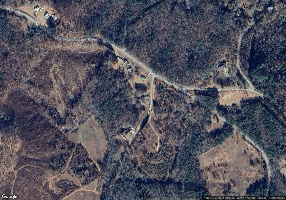
Map
Nearby Homes
- 97 Estatohe Cir
- 588 Estatohe Cir
- 284 River Rd
- 929 Crescent Dr
- 358 Riverdale Rd
- 0 Windsor Dr Unit 19917556
- 0 Windsor Dr Unit 20177615
- 126 Carolina Dr
- 0 Wards Creek Rd Unit 10587308
- 567 Cherokee Rd
- 237 Southern Trace
- 1633 Currahee Club Dr
- 351 Randys Rd
- 1541 Currahee Club Dr
- 593 Cross Creek Dr
- 00 Bearden Hollow Dr
- 42 Lookout Point
- 1272 N Edgewater Trail
- 195 Switchback Run
- 1212 N Edgewater Trail
- 2042 Riverdale Rd
- 1996 Riverdale Rd
- 142 Blackberry Farm Rd
- 1952 Riverdale Rd
- 2150 Riverdale Rd
- 2236 Riverdale Rd
- 127 Old Riverdale Rd
- 1889 Riverdale Rd
- 696 Laurel Mountain Dr
- 1781 Riverdale Rd
- 1781 Riverdale Rd
- 187 Old River Rd
- 1784 Riverdale Rd
- 0 Old Jarrett Rd
- 505 Estates Unit 505 Acre
- 12 Goosepoint Dr
- 346 Old Riverdale Rd
- 0 Old River Rd
- 251 Old River Rd
- 1046 Blackberry Farm Rd