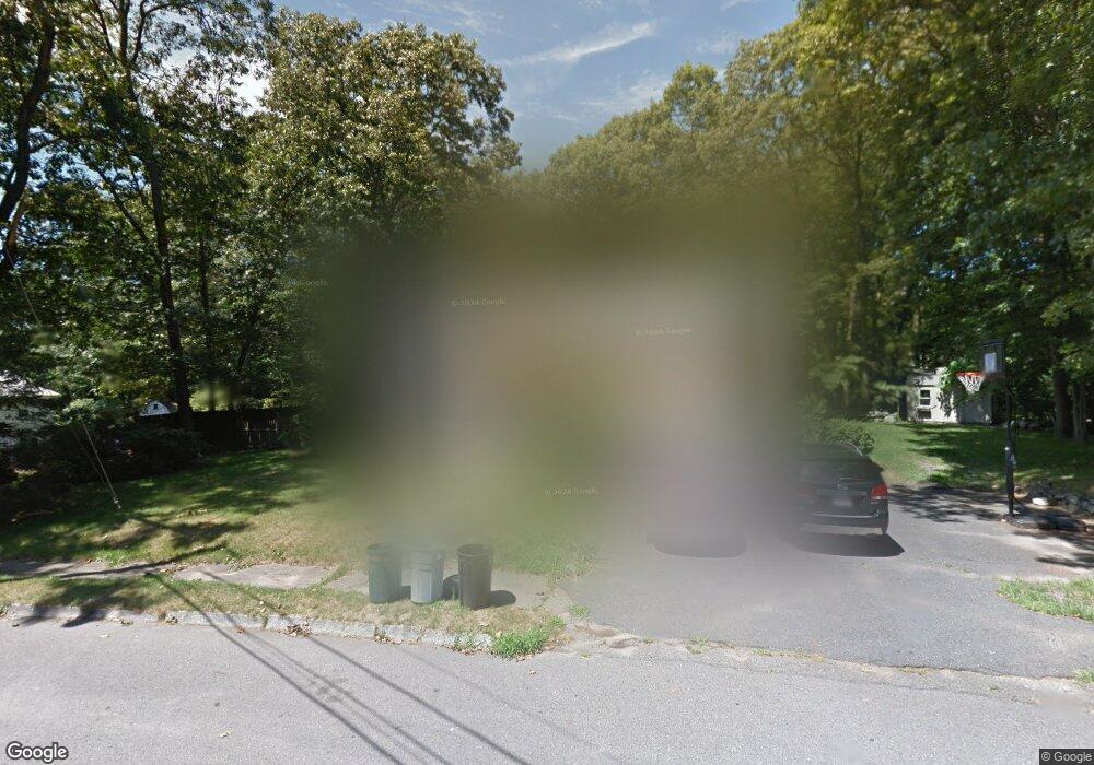
52 Borrows Rd Foxboro, MA 02035
Estimated Value: $584,007 - $726,000
3
Beds
2
Baths
1,080
Sq Ft
$584/Sq Ft
Est. Value
About This Home
This home is located at 52 Borrows Rd, Foxboro, MA 02035 and is currently estimated at $631,252, approximately $584 per square foot. 52 Borrows Rd is a home located in Norfolk County with nearby schools including Foxborough High School, Hands-On-Montessori School, and Discovery Daycare Center.
Ownership History
Date
Name
Owned For
Owner Type
Purchase Details
Closed on
May 31, 2019
Sold by
Rice Wesley W and Rice Patricia A
Bought by
Brackett Matthew C and Brackett Candace C
Current Estimated Value
Home Financials for this Owner
Home Financials are based on the most recent Mortgage that was taken out on this home.
Original Mortgage
$296,250
Outstanding Balance
$260,476
Interest Rate
4.1%
Mortgage Type
New Conventional
Estimated Equity
$370,776
Create a Home Valuation Report for This Property
The Home Valuation Report is an in-depth analysis detailing your home's value as well as a comparison with similar homes in the area
Home Values in the Area
Average Home Value in this Area
Purchase History
| Date | Buyer | Sale Price | Title Company |
|---|---|---|---|
| Brackett Matthew C | $395,000 | -- |
Source: Public Records
Mortgage History
| Date | Status | Borrower | Loan Amount |
|---|---|---|---|
| Open | Brackett Matthew C | $296,250 |
Source: Public Records
Tax History
| Year | Tax Paid | Tax Assessment Tax Assessment Total Assessment is a certain percentage of the fair market value that is determined by local assessors to be the total taxable value of land and additions on the property. | Land | Improvement |
|---|---|---|---|---|
| 2025 | $7,044 | $532,800 | $241,500 | $291,300 |
| 2024 | $6,879 | $509,200 | $245,900 | $263,300 |
| 2023 | $6,714 | $472,500 | $234,100 | $238,400 |
| 2022 | $6,071 | $418,100 | $196,300 | $221,800 |
| 2021 | $5,669 | $384,600 | $181,700 | $202,900 |
| 2020 | $5,289 | $363,000 | $181,700 | $181,300 |
| 2019 | $5,076 | $345,300 | $173,100 | $172,200 |
| 2018 | $4,945 | $339,400 | $173,100 | $166,300 |
| 2017 | $4,822 | $320,600 | $161,800 | $158,800 |
| 2016 | $4,882 | $329,400 | $163,100 | $166,300 |
| 2015 | $4,666 | $307,200 | $137,900 | $169,300 |
| 2014 | $4,470 | $298,200 | $128,900 | $169,300 |
Source: Public Records
Map
Nearby Homes
- 17 Childs Ln
- 128 Tremont St
- 346 South St
- 25 Shepherd St
- 1769 West St
- 24 Maverick Dr
- 40 Treasure Island Rd
- 16 Treasure Island Rd
- 33 Colonial Way
- 9 Coach Rd
- 46 Mirimichi St
- 84 Messenger St
- 155 South St
- 356 Central St
- 150 Gilbert St
- 166 Chauncy St
- 14 Claire Ave
- 25 Munroe Dr
- 233 Central St
- 126 Washington St
Your Personal Tour Guide
Ask me questions while you tour the home.