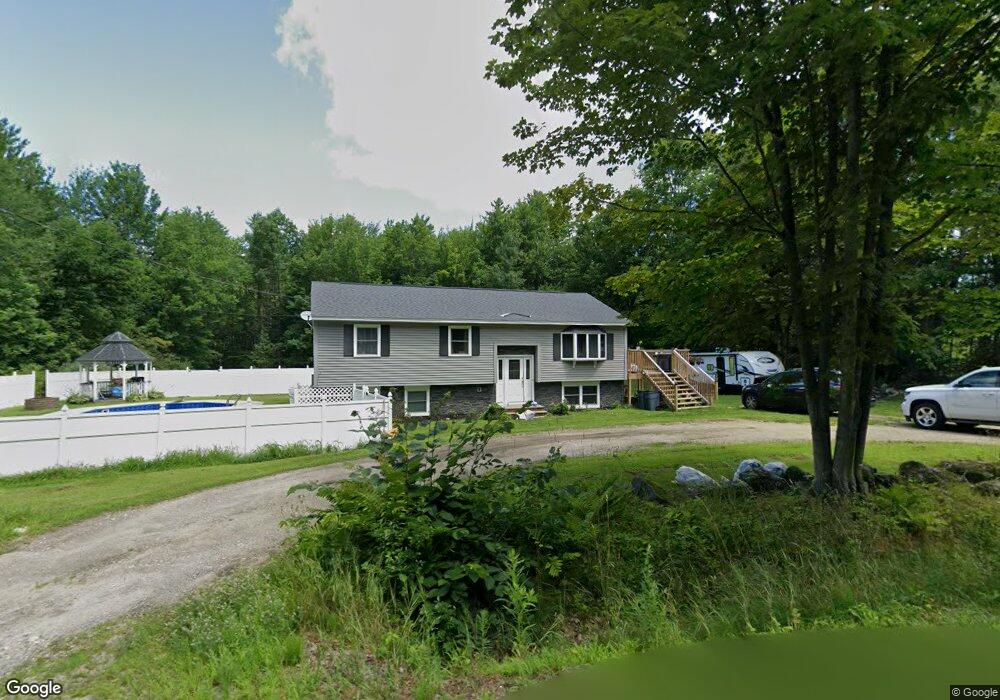
52 Bradford Rd Turner, ME 04282
Estimated Value: $319,093 - $466,000
--
Bed
--
Bath
1,150
Sq Ft
$342/Sq Ft
Est. Value
About This Home
This home is located at 52 Bradford Rd, Turner, ME 04282 and is currently estimated at $393,523, approximately $342 per square foot. 52 Bradford Rd is a home with nearby schools including Tripp Middle School, Leavitt Area High School, and Calvary Christian Academy.
Ownership History
Date
Name
Owned For
Owner Type
Purchase Details
Closed on
Jul 26, 2021
Sold by
Arsenault John R and Arsenault Sandra F
Bought by
Jordan Gage E and Hilliard Cierra M
Current Estimated Value
Home Financials for this Owner
Home Financials are based on the most recent Mortgage that was taken out on this home.
Original Mortgage
$204,250
Outstanding Balance
$185,893
Interest Rate
2.96%
Mortgage Type
Purchase Money Mortgage
Estimated Equity
$207,630
Create a Home Valuation Report for This Property
The Home Valuation Report is an in-depth analysis detailing your home's value as well as a comparison with similar homes in the area
Home Values in the Area
Average Home Value in this Area
Purchase History
| Date | Buyer | Sale Price | Title Company |
|---|---|---|---|
| Jordan Gage E | -- | None Available | |
| Jordan Gage E | -- | None Available |
Source: Public Records
Mortgage History
| Date | Status | Borrower | Loan Amount |
|---|---|---|---|
| Open | Jordan Gage E | $204,250 | |
| Closed | Jordan Gage E | $204,250 |
Source: Public Records
Tax History Compared to Growth
Tax History
| Year | Tax Paid | Tax Assessment Tax Assessment Total Assessment is a certain percentage of the fair market value that is determined by local assessors to be the total taxable value of land and additions on the property. | Land | Improvement |
|---|---|---|---|---|
| 2024 | $2,350 | $184,300 | $60,800 | $123,500 |
| 2023 | $2,313 | $184,300 | $60,800 | $123,500 |
| 2022 | $2,101 | $184,300 | $60,800 | $123,500 |
| 2021 | $2,101 | $184,300 | $60,800 | $123,500 |
| 2020 | $100 | $125,300 | $37,600 | $87,700 |
| 2019 | $2,255 | $125,300 | $37,600 | $87,700 |
| 2018 | $2,224 | $125,300 | $37,600 | $87,700 |
| 2016 | $103 | $125,300 | $37,600 | $87,700 |
| 2015 | $1,992 | $125,300 | $37,600 | $87,700 |
| 2014 | $1,967 | $125,300 | $37,600 | $87,700 |
| 2013 | $1,877 | $125,300 | $37,600 | $87,700 |
Source: Public Records
Map
Nearby Homes
- 3 Gabriel's Way
- 127 Turner Center Rd
- 1 Long Meadow Estates
- 0 Auburn Rd Unit 1621703
- 28-1 Auburn Rd
- Lot 21 Auburn Rd
- Lot21&22 Auburn Rd
- Map28Lot1 Auburn Rd
- 3 N Main St
- 640 Lower St
- 15 Seaward Rd
- 50 Magnum Dr
- 183 Buckfield Rd
- 140 Main St
- 845 Upper St
- 14 Shire
- 987 Upper St
- 454 N Parish Rd
- 497 N Parish Rd
- Lot 69B Upper St
- 00000 Stagecoach Dr
- 8 Hillside Dr
- 79 Sandy Bottom Pond Rd
- 740 Route 4
- 730 Route 4
- 16 Wilson Bluff Lot 2
- 24 Wilson Bluff
- Lots 1, 2, Stagecoach Dr
- 0 Hornet Unit 946075
- 1 Hornet
- 20 Hornet Dr
- 22 Hornet Dr
- 21 Hornet Dr
- 19 Hornet Dr
- 13 Hornet Drive Lot 7
- 13 Hornet Drive Lot 6
- 21 Hornet Drive Lot 5
- 13 Hornet Dr
- Lot 8 Long Meadow
- 18 Hillside Dr