52 Brookside Rd Bourne, MA 02532
Monument Beach NeighborhoodEstimated Value: $641,000 - $748,000
2
Beds
3
Baths
2,098
Sq Ft
$338/Sq Ft
Est. Value
About This Home
This home is located at 52 Brookside Rd, Bourne, MA 02532 and is currently estimated at $708,513, approximately $337 per square foot. 52 Brookside Rd is a home located in Barnstable County with nearby schools including Bourne High School, St Margaret Regional School, and Cadence Academy Preschool - Bourne.
Ownership History
Date
Name
Owned For
Owner Type
Purchase Details
Closed on
Mar 23, 2021
Sold by
Scanlon Michael
Bought by
Scanlon Michael
Current Estimated Value
Purchase Details
Closed on
May 17, 2012
Sold by
Brookside Residential
Bought by
Scanlon Michael
Home Financials for this Owner
Home Financials are based on the most recent Mortgage that was taken out on this home.
Original Mortgage
$340,000
Interest Rate
4.01%
Mortgage Type
New Conventional
Create a Home Valuation Report for This Property
The Home Valuation Report is an in-depth analysis detailing your home's value as well as a comparison with similar homes in the area
Home Values in the Area
Average Home Value in this Area
Purchase History
| Date | Buyer | Sale Price | Title Company |
|---|---|---|---|
| Scanlon Michael | -- | None Available | |
| Scanlon Michael | -- | None Available | |
| Scanlon Michael | $425,000 | -- |
Source: Public Records
Mortgage History
| Date | Status | Borrower | Loan Amount |
|---|---|---|---|
| Previous Owner | Scanlon Michael | $340,000 |
Source: Public Records
Tax History
| Year | Tax Paid | Tax Assessment Tax Assessment Total Assessment is a certain percentage of the fair market value that is determined by local assessors to be the total taxable value of land and additions on the property. | Land | Improvement |
|---|---|---|---|---|
| 2025 | $5,536 | $708,800 | $0 | $708,800 |
| 2024 | $5,265 | $656,500 | $0 | $656,500 |
| 2023 | $5,127 | $582,000 | $0 | $582,000 |
| 2022 | $5,020 | $497,500 | $0 | $497,500 |
| 2021 | $5,063 | $470,100 | $0 | $470,100 |
| 2020 | $5,045 | $469,700 | $0 | $469,700 |
| 2019 | $4,734 | $450,400 | $0 | $450,400 |
| 2018 | $4,658 | $441,900 | $0 | $441,900 |
| 2017 | $4,757 | $461,800 | $0 | $461,800 |
| 2016 | $4,483 | $441,200 | $0 | $441,200 |
| 2015 | $4,115 | $408,600 | $0 | $408,600 |
Source: Public Records
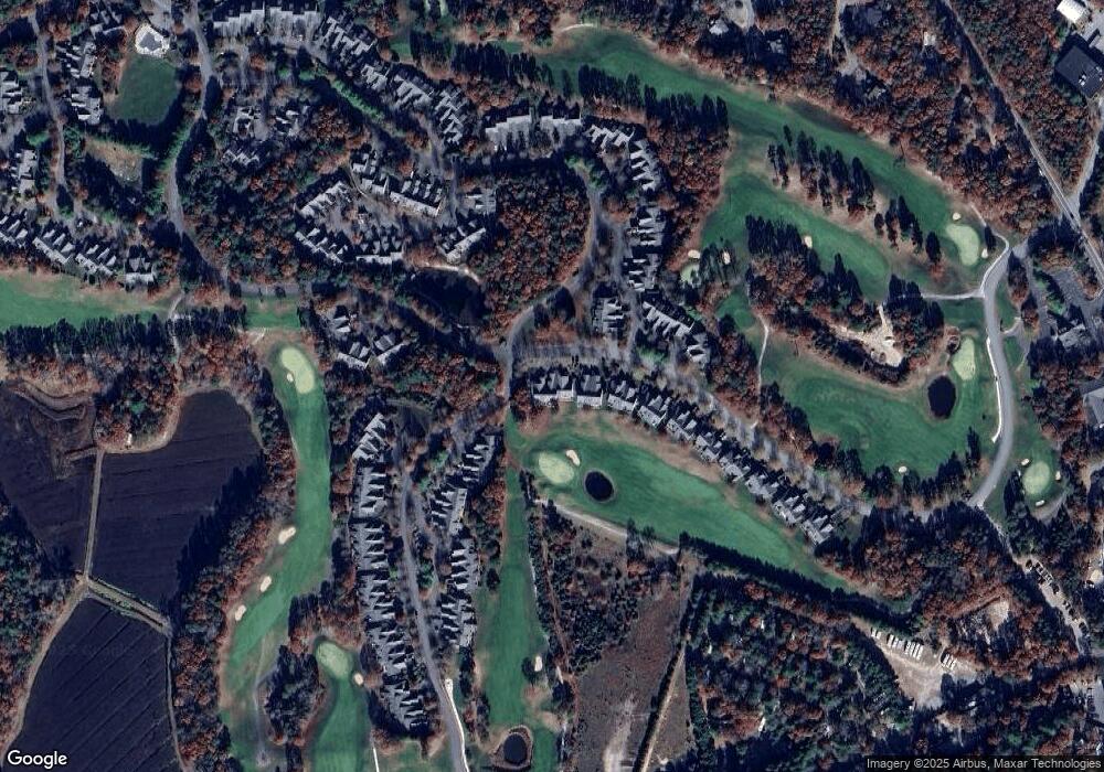
Map
Nearby Homes
- 4 Hollyhock Knoll Ct Unit 4
- 4 Hollyhock Knoll Ct Unit 4
- 5 Blue Meadow Ct Unit 5
- 12 Turnberry Rd Unit 12
- 2 Applewood Ct
- 27 Surrey Ln Unit 27
- 16 Amberwood Ct
- 405 Village Dr Unit 405
- 13 Laurel Hill Ct
- 5 Harbor Hill Dr
- 4 Harbor Hill Dr
- 5 Zoli Ln
- 44 Cotuit Rd
- 77 Roundhouse Rd Unit 77
- 17 Colony Ave
- 60 Sandwich Rd
- 10 Howard Ave
- 10 Howard Ave
- 3 Honora Ln Unit 3
- 38 Old Bridge Rd
- 52 Brookside Rd
- 54 Brookside Rd
- 50 Brookside Rd
- 52 Brookside Rd Unit 191
- 50 Brookside Rd Unit 190
- 50 Brookside Rd
- 58 Brookside Rd Unit 194
- 56 Brookside Rd Unit 193
- 56 Brookside Rd
- 58 Brookside Rd
- 62 Brookside Rd
- 60 Brookside Rd
- 62 Brookside Rd Unit 196
- 60 Brookside Rd Unit 195
- 62 Brookside Rd
- 60 Brookside Rd
- 9 Hollyhock Knoll Ct Unit 118
- 9 Hollyhock Knoll Ct
- 7 Hollyhock Knoll Ct
- 7 Hollyhock Knoll Ct Unit 7
Your Personal Tour Guide
Ask me questions while you tour the home.