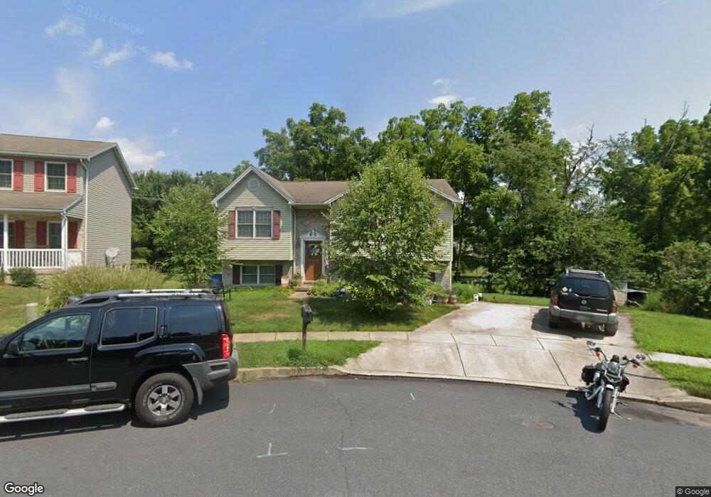
52 Charlestown Ct Unit 211 Littlestown, PA 17340
Estimated Value: $294,147 - $342,000
3
Beds
2
Baths
1,052
Sq Ft
$298/Sq Ft
Est. Value
About This Home
This home is located at 52 Charlestown Ct Unit 211, Littlestown, PA 17340 and is currently estimated at $313,787, approximately $298 per square foot. 52 Charlestown Ct Unit 211 is a home located in Adams County with nearby schools including Rolling Acres El School, Maple Avenue Middle School, and Littlestown Senior High School.
Ownership History
Date
Name
Owned For
Owner Type
Purchase Details
Closed on
May 2, 2006
Sold by
Anderson Brian L and Anderson Tracy C
Bought by
Baterman Donald L and Baterman Tina
Current Estimated Value
Home Financials for this Owner
Home Financials are based on the most recent Mortgage that was taken out on this home.
Original Mortgage
$185,046
Outstanding Balance
$107,171
Interest Rate
6.4%
Mortgage Type
New Conventional
Estimated Equity
$206,616
Create a Home Valuation Report for This Property
The Home Valuation Report is an in-depth analysis detailing your home's value as well as a comparison with similar homes in the area
Home Values in the Area
Average Home Value in this Area
Purchase History
| Date | Buyer | Sale Price | Title Company |
|---|---|---|---|
| Baterman Donald L | $235,000 | -- |
Source: Public Records
Mortgage History
| Date | Status | Borrower | Loan Amount |
|---|---|---|---|
| Open | Baterman Donald L | $185,046 |
Source: Public Records
Tax History Compared to Growth
Tax History
| Year | Tax Paid | Tax Assessment Tax Assessment Total Assessment is a certain percentage of the fair market value that is determined by local assessors to be the total taxable value of land and additions on the property. | Land | Improvement |
|---|---|---|---|---|
| 2025 | $4,425 | $192,500 | $48,000 | $144,500 |
| 2024 | $4,264 | $192,500 | $48,000 | $144,500 |
| 2023 | $4,099 | $192,500 | $48,000 | $144,500 |
| 2022 | $4,074 | $192,500 | $48,000 | $144,500 |
| 2021 | $3,954 | $192,500 | $48,000 | $144,500 |
| 2020 | $3,906 | $192,500 | $48,000 | $144,500 |
| 2019 | $3,789 | $192,500 | $48,000 | $144,500 |
| 2018 | $3,720 | $192,500 | $48,000 | $144,500 |
| 2017 | $3,625 | $192,500 | $48,000 | $144,500 |
| 2016 | -- | $192,500 | $48,000 | $144,500 |
| 2015 | -- | $192,500 | $48,000 | $144,500 |
| 2014 | -- | $192,500 | $48,000 | $144,500 |
Source: Public Records
Map
Nearby Homes
- 15 Yorktowne Ct Unit 97
- 1024 Frederick Pike Unit 6
- 22 Rita Marie Ave
- 129 W King St
- 28 Gettysburg Ct Unit 60
- 117 Charles St
- 52 Stayman Way Unit 81
- 115 Charles St
- 161 Stoners Cir
- 135 Apple Grove Ln Unit 438
- 140 Apple Grove Ln Unit 425
- 58 N Gala Unit 397
- 61 E King St
- 440 N Queen St
- 211 E King St
- 58 Windsor Ct
- 48 Windsor Ct
- 162 Newark St
- 20c Locust Dr
- 20 Locust Dr
- 55 Charlestown Ct Unit 212
- 48 Charlestown Ct Unit 210
- 51 Charlestown Ct Unit 213
- 44 Charlestown Ct Unit 209
- 535 Lexington Way Unit 76
- 40 Charlestown Ct Unit 208
- 540 Lexington Way Unit 77
- 43 Charlestown Ct Unit 215
- 38 Charlestown Ct Unit 207
- 529 Lexington Way Unit 75
- 39 Charlestown Ct Unit 216
- 534 Lexington Way Unit 78
- 36 Charlestown Ct Unit 206
- 37 Charlestown Ct Unit 217
- 523 Lexington Way Unit 74
- 21 Concord Ct Unit 56
- 26 Concord Ct Unit 57
- 10 Revere Ct Unit 72
- 528 Lexington Way Unit 79
- 31 Charlestown Ct Unit 218