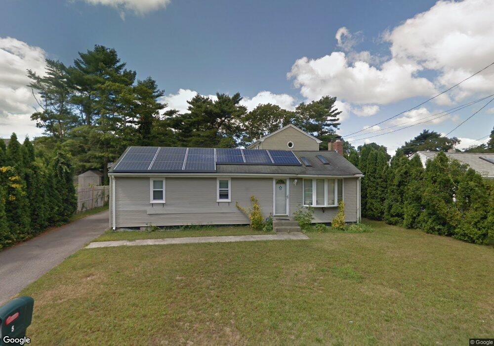
52 Cohasset Rd Buzzards Bay, MA 02532
Estimated Value: $472,617 - $509,000
4
Beds
2
Baths
1,001
Sq Ft
$494/Sq Ft
Est. Value
About This Home
This home is located at 52 Cohasset Rd, Buzzards Bay, MA 02532 and is currently estimated at $494,404, approximately $493 per square foot. 52 Cohasset Rd is a home.
Ownership History
Date
Name
Owned For
Owner Type
Purchase Details
Closed on
Nov 5, 2004
Sold by
Moody Douglas and Moody Jennifer
Bought by
Moody Douglas E
Current Estimated Value
Purchase Details
Closed on
Apr 27, 2000
Sold by
Prien George
Bought by
Moody Douglas and Moody Jennifer
Purchase Details
Closed on
Sep 16, 1996
Sold by
King Robert S
Bought by
Prien George and Prien Kristine
Purchase Details
Closed on
Jan 24, 1995
Sold by
Est Burri Nona T and Greeman Donna T
Bought by
King Robert S
Create a Home Valuation Report for This Property
The Home Valuation Report is an in-depth analysis detailing your home's value as well as a comparison with similar homes in the area
Purchase History
| Date | Buyer | Sale Price | Title Company |
|---|---|---|---|
| Moody Douglas E | $35,000 | -- | |
| Moody Douglas E | $35,000 | -- | |
| Moody Douglas | $144,000 | -- | |
| Moody Douglas | $144,000 | -- | |
| Prien George | $90,000 | -- | |
| Prien George | $90,000 | -- | |
| King Robert S | $25,000 | -- | |
| King Robert S | $25,000 | -- |
Source: Public Records
Mortgage History
| Date | Status | Borrower | Loan Amount |
|---|---|---|---|
| Open | King Robert S | $45,000 | |
| Closed | King Robert S | $10,000 |
Source: Public Records
Tax History
| Year | Tax Paid | Tax Assessment Tax Assessment Total Assessment is a certain percentage of the fair market value that is determined by local assessors to be the total taxable value of land and additions on the property. | Land | Improvement |
|---|---|---|---|---|
| 2025 | $4,034 | $367,400 | $119,300 | $248,100 |
| 2024 | $4,179 | $357,800 | $92,800 | $265,000 |
| 2023 | $3,720 | $325,800 | $84,300 | $241,500 |
| 2022 | $3,720 | $273,100 | $84,300 | $188,800 |
| 2021 | $3,455 | $246,800 | $84,300 | $162,500 |
| 2020 | $3,289 | $239,900 | $84,300 | $155,600 |
| 2019 | $2,989 | $220,400 | $79,900 | $140,500 |
| 2018 | $2,721 | $193,800 | $79,900 | $113,900 |
| 2017 | $2,709 | $193,800 | $79,900 | $113,900 |
| 2016 | $2,515 | $178,500 | $76,800 | $101,700 |
| 2015 | $2,413 | $176,100 | $76,800 | $99,300 |
| 2014 | $2,444 | $183,900 | $76,800 | $107,100 |
Source: Public Records
Map
Nearby Homes
- 60 Martin St
- 67 Algonquin St
- 92 Choctaw Dr
- 29 Wenonah Rd
- 3132 Cranberry Hwy Unit 59
- 29 Wenonah Rd
- 13 Bay Pointe Drive Extension
- 13 Bay Pointe Drive Extension Unit 13
- 22 Long Neck Rd
- 3 Fairway Dr Unit F
- 1 Downey St
- 56 Rip Van Winkle Way
- 11 Buzzards Bay Dr
- 29 Walnut St
- 4 Van Bummel Rd
- 23 Starboard Dr Unit Lot 50
- 13 Hideaway Village Unit G
- 36B Starboard Dr Unit 36E
- 36B Starboard Dr Unit 36G
- 36B Starboard Dr Unit 36C
Your Personal Tour Guide
Ask me questions while you tour the home.