52 Dales Rd Bloomsburg, PA 17815
Estimated Value: $355,000 - $902,731
--
Bed
--
Bath
1,620
Sq Ft
$378/Sq Ft
Est. Value
About This Home
This home is located at 52 Dales Rd, Bloomsburg, PA 17815 and is currently estimated at $612,183, approximately $377 per square foot. 52 Dales Rd is a home located in Columbia County with nearby schools including Central Columbia Elementary School, Central Columbia Middle School, and Central Columbia Senior High School.
Ownership History
Date
Name
Owned For
Owner Type
Purchase Details
Closed on
Jul 26, 2021
Sold by
Robbins Samuel F
Bought by
Robbins Samuel F
Current Estimated Value
Home Financials for this Owner
Home Financials are based on the most recent Mortgage that was taken out on this home.
Original Mortgage
$425,000
Outstanding Balance
$386,630
Interest Rate
2.93%
Mortgage Type
Credit Line Revolving
Estimated Equity
$225,553
Purchase Details
Closed on
Jul 8, 2011
Sold by
Gardner Connie A and Gardner Gary
Bought by
Robbins Samuel F and Robbins Marie D
Home Financials for this Owner
Home Financials are based on the most recent Mortgage that was taken out on this home.
Original Mortgage
$337,500
Interest Rate
4.6%
Mortgage Type
Future Advance Clause Open End Mortgage
Purchase Details
Closed on
Jan 26, 2011
Sold by
Gardner Connie A and Crawford David C
Bought by
Gardner Connie A and Crawford David C
Create a Home Valuation Report for This Property
The Home Valuation Report is an in-depth analysis detailing your home's value as well as a comparison with similar homes in the area
Home Values in the Area
Average Home Value in this Area
Purchase History
| Date | Buyer | Sale Price | Title Company |
|---|---|---|---|
| Robbins Samuel F | -- | Hill Turowski James & Lehman L | |
| Robbins Samuel F | $450,000 | None Available | |
| Gardner Connie A | -- | None Available |
Source: Public Records
Mortgage History
| Date | Status | Borrower | Loan Amount |
|---|---|---|---|
| Open | Robbins Samuel F | $425,000 | |
| Previous Owner | Robbins Samuel F | $337,500 |
Source: Public Records
Tax History Compared to Growth
Tax History
| Year | Tax Paid | Tax Assessment Tax Assessment Total Assessment is a certain percentage of the fair market value that is determined by local assessors to be the total taxable value of land and additions on the property. | Land | Improvement |
|---|---|---|---|---|
| 2025 | $4,877 | $75,287 | $0 | $0 |
| 2024 | $4,748 | $75,287 | $57,596 | $17,691 |
| 2023 | $4,522 | $75,287 | $57,596 | $17,691 |
| 2022 | $3,022 | $75,287 | $57,596 | $17,691 |
| 2021 | $3,022 | $75,287 | $57,596 | $17,691 |
| 2020 | $2,913 | $75,287 | $57,596 | $17,691 |
| 2019 | $2,850 | $75,287 | $57,596 | $17,691 |
| 2018 | $2,850 | $75,287 | $57,596 | $17,691 |
| 2017 | $2,812 | $75,287 | $57,596 | $17,691 |
| 2016 | -- | $75,287 | $57,596 | $17,691 |
| 2015 | -- | $73,563 | $57,596 | $15,967 |
| 2014 | -- | $73,563 | $57,596 | $15,967 |
Source: Public Records
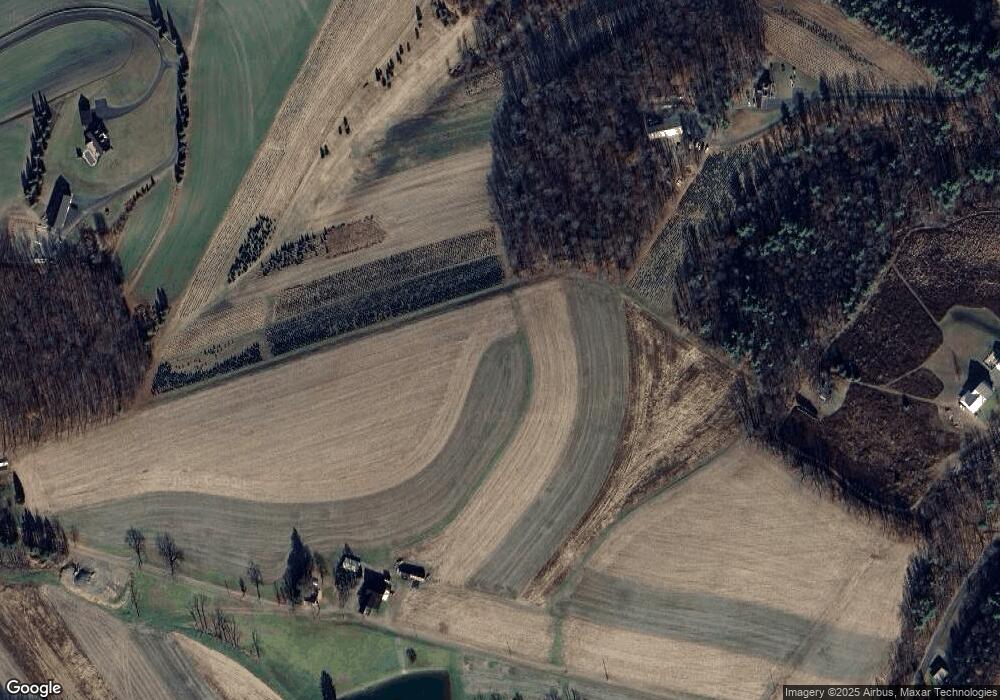
Map
Nearby Homes
- 298 Peacock Corners Rd
- 53 Fox Hollow Rd
- 2622 Johnson Rd
- 29 N End Ln
- 370 Kline Rd
- 407 Main St
- 139 Rotary St
- 135 Ash St
- 107 E Pebble Ln
- 63 Brentwood Cir
- 14 Fowlersville Rd
- 34 Fowlersville Rd
- 21 Levi St
- 4 Eyersgrove Rd
- 0 Alliance Park Lot 6 Dr
- 0 Alliance Park Dr
- 165 Schoolhouse Rd
- 7101 Julian Dr
- 7103 Julian Dr
- 8104 Julian Dr
- 101 Dales Rd
- 127 Mcwilliams Rd
- 137 Mcwilliams Rd
- 164 Mcwilliams Rd
- 29 Shadbush Dr
- 721 Mount Pleasant Rd
- 89 Mcwilliams Rd
- 33 Shadbush Dr
- 21 Shadbush Dr
- 34 Shadbush Dr
- 606 Millertown Rd
- 26 Shadbush Dr
- 21 Mcwilliams Rd
- 104 Evert Rd
- 622 Millertown Rd
- 16 Shaner Rd
- 616 Millertown Rd
- 16 Shadbush Dr
- 598 Millertown Rd
- 634 Millertown Rd