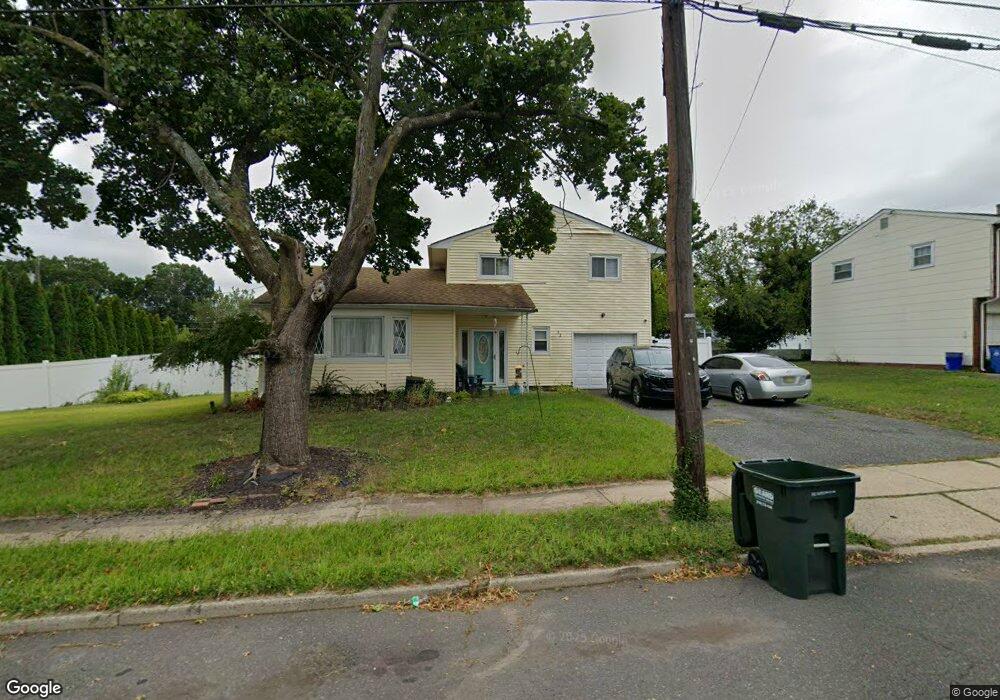
52 Donald Ave Somerset, NJ 08873
Estimated Value: $481,000 - $509,000
--
Bed
--
Bath
1,647
Sq Ft
$301/Sq Ft
Est. Value
About This Home
This home is located at 52 Donald Ave, Somerset, NJ 08873 and is currently estimated at $495,406, approximately $300 per square foot. 52 Donald Ave is a home located in Somerset County with nearby schools including Franklin High School.
Ownership History
Date
Name
Owned For
Owner Type
Purchase Details
Closed on
Jul 24, 2000
Sold by
Banks Carolyn
Bought by
Voorhees Lester and Voorhees Michele
Current Estimated Value
Home Financials for this Owner
Home Financials are based on the most recent Mortgage that was taken out on this home.
Original Mortgage
$171,000
Outstanding Balance
$60,626
Interest Rate
8.1%
Estimated Equity
$434,780
Create a Home Valuation Report for This Property
The Home Valuation Report is an in-depth analysis detailing your home's value as well as a comparison with similar homes in the area
Home Values in the Area
Average Home Value in this Area
Purchase History
| Date | Buyer | Sale Price | Title Company |
|---|---|---|---|
| Voorhees Lester | $180,000 | -- |
Source: Public Records
Mortgage History
| Date | Status | Borrower | Loan Amount |
|---|---|---|---|
| Open | Voorhees Lester | $171,000 |
Source: Public Records
Tax History Compared to Growth
Tax History
| Year | Tax Paid | Tax Assessment Tax Assessment Total Assessment is a certain percentage of the fair market value that is determined by local assessors to be the total taxable value of land and additions on the property. | Land | Improvement |
|---|---|---|---|---|
| 2025 | $7,011 | $465,500 | $210,000 | $255,500 |
| 2024 | $7,011 | $384,800 | $210,000 | $174,800 |
| 2023 | $7,097 | $365,800 | $191,000 | $174,800 |
| 2022 | $7,201 | $351,600 | $176,800 | $174,800 |
| 2021 | $6,990 | $313,600 | $138,800 | $174,800 |
| 2020 | $6,571 | $287,300 | $115,000 | $172,300 |
| 2019 | $6,439 | $277,800 | $105,500 | $172,300 |
| 2018 | $6,506 | $277,800 | $105,500 | $172,300 |
| 2017 | $6,754 | $287,300 | $115,000 | $172,300 |
| 2016 | $6,681 | $281,800 | $115,000 | $166,800 |
| 2015 | $6,636 | $281,800 | $115,000 | $166,800 |
| 2014 | $6,538 | $281,800 | $115,000 | $166,800 |
Source: Public Records
Map
Nearby Homes
- 69 Robbins Ave
- 56 Marvin Ave
- 25 Oakbrook Place
- 39 Runyon Ave
- 17 Runyon Ave
- 123 Baier Ave
- 168 Harrison St
- 135 Irvington Ave
- 497 Easton Ave
- 81 Girard Ave
- 292 Easton Ave
- 207 Phillips Rd
- 492 Hamilton St
- 97 Sydney Place
- 94 Main St
- 105 Brookline Ave
- 193 Hillcrest Ave
- 75 Lillian St
- 453 Franklin Blvd
- 453 Franklin Blvd
- 62 Donald Ave
- 2 Robert C Keri Ct
- 4 Robert C Keri Ct
- 68 Donald Ave
- 57 Donald Ave
- 49 Donald Ave
- 6 Robert C Keri Ct
- 65 Donald Ave
- 1 Robert C Keri Ct
- 74 Donald Ave
- 8 Robert C Keri Ct Unit 2
- 8 Robert C Keri Ct
- 3 Robert C Keri Ct
- 70 Robbins Ave
- 110 Pine Grove Ave
- 5 Robert C Keri Ct
- 73 Donald Ave
- 78 Robbins Ave
- 78 Donald Ave
- 10 Robert C Keri Ct