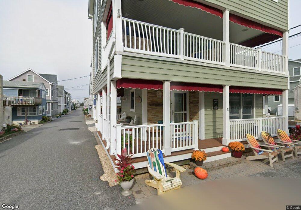
52 E Atlantic Way Lavallette, NJ 08735
Dover Beaches North NeighborhoodEstimated Value: $1,286,000 - $1,630,000
5
Beds
3
Baths
1,667
Sq Ft
$865/Sq Ft
Est. Value
About This Home
This home is located at 52 E Atlantic Way, Lavallette, NJ 08735 and is currently estimated at $1,441,923, approximately $864 per square foot. 52 E Atlantic Way is a home.
Ownership History
Date
Name
Owned For
Owner Type
Purchase Details
Closed on
Jun 29, 2001
Sold by
Federic Richard
Bought by
Depaola Thomas and Depaola Theresa
Current Estimated Value
Home Financials for this Owner
Home Financials are based on the most recent Mortgage that was taken out on this home.
Original Mortgage
$196,000
Outstanding Balance
$75,918
Interest Rate
7.21%
Estimated Equity
$1,366,006
Purchase Details
Closed on
Jan 3, 1994
Sold by
Maginness Jean
Bought by
Federici Richard and Federici Elizabeth
Home Financials for this Owner
Home Financials are based on the most recent Mortgage that was taken out on this home.
Original Mortgage
$80,000
Interest Rate
6.9%
Create a Home Valuation Report for This Property
The Home Valuation Report is an in-depth analysis detailing your home's value as well as a comparison with similar homes in the area
Home Values in the Area
Average Home Value in this Area
Purchase History
| Date | Buyer | Sale Price | Title Company |
|---|---|---|---|
| Depaola Thomas | $245,000 | -- | |
| Federici Richard | $120,000 | -- |
Source: Public Records
Mortgage History
| Date | Status | Borrower | Loan Amount |
|---|---|---|---|
| Open | Depaola Thomas | $196,000 | |
| Previous Owner | Federici Richard | $80,000 |
Source: Public Records
Tax History
| Year | Tax Paid | Tax Assessment Tax Assessment Total Assessment is a certain percentage of the fair market value that is determined by local assessors to be the total taxable value of land and additions on the property. | Land | Improvement |
|---|---|---|---|---|
| 2025 | $15,892 | $813,300 | $384,000 | $429,300 |
| 2024 | $14,078 | $813,300 | $384,000 | $429,300 |
| 2023 | $13,574 | $813,300 | $384,000 | $429,300 |
| 2022 | $13,574 | $813,300 | $384,000 | $429,300 |
| 2021 | $12,520 | $502,100 | $290,000 | $212,100 |
| 2020 | $12,522 | $502,100 | $290,000 | $212,100 |
| 2019 | $11,980 | $502,100 | $290,000 | $212,100 |
| 2018 | $15,847 | $673,200 | $290,000 | $383,200 |
| 2017 | $15,712 | $673,200 | $290,000 | $383,200 |
| 2016 | $15,302 | $673,200 | $290,000 | $383,200 |
| 2015 | $14,723 | $673,200 | $290,000 | $383,200 |
| 2014 | $14,016 | $673,200 | $290,000 | $383,200 |
Source: Public Records
Map
Nearby Homes
- 53 E Bay Way
- 155 W Atlantic Way
- 109 W Tarpon Way
- 20 E Bonita Way
- 111 W Marlin Way
- 33 E Penguin Way
- 348 Venice Dr
- 119 2nd Ave
- 100 3rd Ave
- 417 Delray Dr
- 3201 Route 35 N Unit B
- 21 E Dune Way Unit 121
- 225 Norman Ct
- 201 5th Ave
- 105 W Bayberry Way
- 354 Naples Ct
- 18 Coronado Rd
- 201 Mallard Ln
- 359 Naples Ct
- 208 Mallard Ln
- 53 E Pacific Way
- 54 E Atlantic Way
- 53 E Atlantic Way
- 3450 Ocean Rd
- 3456 Ocean Rd
- 55 E Atlantic Way
- 3446 Ocean Rd
- 55 E Pacific Way
- 54 E Bay Way
- 52 E Pacific Way
- 54 E Pacific Way
- 56 E Atlantic Way
- 3440 Ocean Rd
- 3460 Ocean Rd
- 53 Surf Way
- 56 E Bay Way
- 57 E Atlantic Way
- 57 E Pacific Way
- 56 E Pacific Way
- 3462 Ocean Rd
Your Personal Tour Guide
Ask me questions while you tour the home.