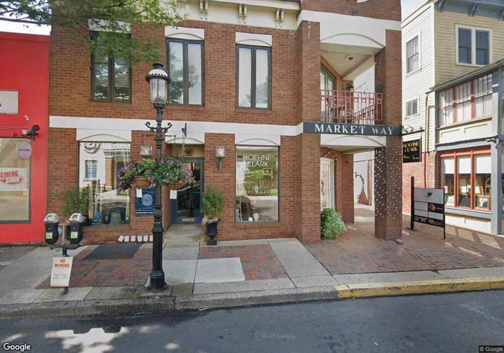
52 E State St Unit A Doylestown, PA 18901
Estimated Value: $217,328
Studio
--
Bath
375
Sq Ft
$580/Sq Ft
Est. Value
About This Home
This home is located at 52 E State St Unit A, Doylestown, PA 18901 and is currently estimated at $217,328, approximately $579 per square foot. 52 E State St Unit A is a home located in Bucks County with nearby schools including Linden El School, Lenape Middle School, and Central Bucks High School-West.
Ownership History
Date
Name
Owned For
Owner Type
Purchase Details
Closed on
Mar 13, 2024
Sold by
Thirteen Land Management Llc
Bought by
Shanahan Linda and Hyde Eric
Current Estimated Value
Purchase Details
Closed on
Apr 23, 2015
Sold by
Amri Nabil
Bought by
Thirteen Land Management Llc
Purchase Details
Closed on
Mar 1, 2011
Sold by
Chiartas James G
Bought by
Amri Nabil
Purchase Details
Closed on
Jun 14, 2005
Sold by
Frain Rosemary and Varcoe Cynthia L
Bought by
Chiartas James G
Create a Home Valuation Report for This Property
The Home Valuation Report is an in-depth analysis detailing your home's value as well as a comparison with similar homes in the area
Home Values in the Area
Average Home Value in this Area
Purchase History
| Date | Buyer | Sale Price | Title Company |
|---|---|---|---|
| Shanahan Linda | $198,000 | Principle Abstract & Settlemen | |
| Thirteen Land Management Llc | $139,000 | None Available | |
| Amri Nabil | $130,000 | None Available | |
| Chiartas James G | -- | -- |
Source: Public Records
Tax History
| Year | Tax Paid | Tax Assessment Tax Assessment Total Assessment is a certain percentage of the fair market value that is determined by local assessors to be the total taxable value of land and additions on the property. | Land | Improvement |
|---|---|---|---|---|
| 2025 | $1,513 | $8,400 | -- | $8,400 |
| 2024 | $1,513 | $8,400 | $0 | $8,400 |
| 2023 | $1,442 | $8,400 | $0 | $8,400 |
| 2022 | $1,422 | $8,400 | $0 | $8,400 |
| 2021 | $1,406 | $8,400 | $0 | $8,400 |
| 2020 | $1,391 | $8,400 | $0 | $8,400 |
| 2019 | $7,715 | $8,400 | $0 | $8,400 |
| 2018 | $1,358 | $8,400 | $0 | $8,400 |
| 2017 | $1,344 | $8,400 | $0 | $8,400 |
| 2016 | $1,344 | $8,400 | $0 | $8,400 |
| 2015 | -- | $8,400 | $0 | $8,400 |
| 2014 | -- | $8,400 | $0 | $8,400 |
Source: Public Records
Map
Nearby Homes
- 69 E Oakland Ave
- 110 E Ashland St
- 146 E Court St
- 61 N Hamilton St
- 169 N Main St
- 150 Selner Ln
- 236 Green St
- 102 Clear Springs Ct
- 209 Harvey Ave
- 190 Decatur St
- 195 Lafayette St
- 215 N Franklin St
- 3 Aspen Way Unit 33
- 807 N Broad St
- 45 Creek Dr
- 5 Belmont Square
- 112 Steeplechase Dr
- 2401 Lower State Rd Unit 106
- 607 S Chubb Dr
- 563 Pebble Hill Rd
- 46 E State St Unit H-J-K
- 46 E State St Unit H,K,J
- 46 E State St Unit K
- 46 E State St Unit H
- 46 E State St Unit N
- 46 E State St
- 46 E State St Unit M
- 46 E State St Unit G
- 52 E State St Unit C
- 52 E State St Unit P
- 52 E State St
- 52 E State St Unit Q
- 52 E State St Unit P & Q
- 52 E State St Unit F
- 54 E State St
- 38 E State St Unit B
- 38 E State St Unit REAR
- 38 E State St Unit 2A
- 38 E State St Unit 2B
- 38 E State St Unit RETAIL
Your Personal Tour Guide
Ask me questions while you tour the home.