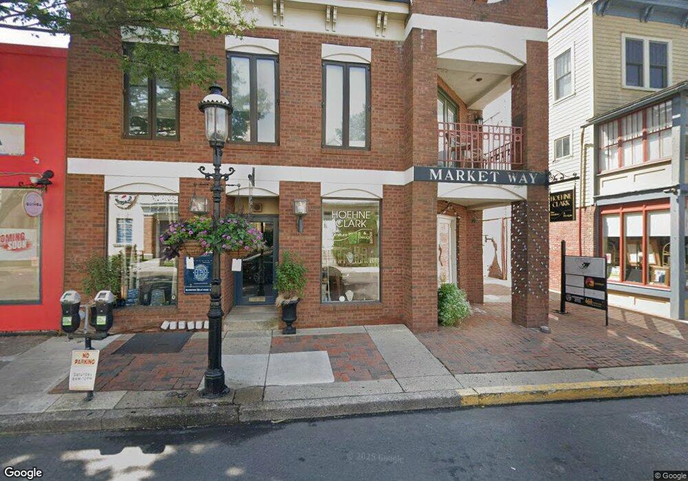
52 E State St Unit C Doylestown, PA 18901
Estimated Value: $287,071
Studio
--
Bath
420
Sq Ft
$684/Sq Ft
Est. Value
About This Home
This home is located at 52 E State St Unit C, Doylestown, PA 18901 and is currently estimated at $287,071, approximately $683 per square foot. 52 E State St Unit C is a home located in Bucks County with nearby schools including Linden El School, Lenape Middle School, and Central Bucks High School-West.
Ownership History
Date
Name
Owned For
Owner Type
Purchase Details
Closed on
Nov 18, 2019
Sold by
Njnb Llc
Bought by
Skpro Llc
Current Estimated Value
Home Financials for this Owner
Home Financials are based on the most recent Mortgage that was taken out on this home.
Original Mortgage
$150,000
Outstanding Balance
$131,961
Interest Rate
3.6%
Mortgage Type
Future Advance Clause Open End Mortgage
Estimated Equity
$155,110
Purchase Details
Closed on
May 4, 2012
Sold by
Bucks County Industrial Development Auth
Bought by
Njnb Llc
Purchase Details
Closed on
Feb 11, 1981
Bought by
Bucks Co Ind Devt Auth % J S T, Home Jr
Create a Home Valuation Report for This Property
The Home Valuation Report is an in-depth analysis detailing your home's value as well as a comparison with similar homes in the area
Home Values in the Area
Average Home Value in this Area
Purchase History
| Date | Buyer | Sale Price | Title Company |
|---|---|---|---|
| Skpro Llc | $190,000 | Tohickon Settlement Svcs Inc | |
| Njnb Llc | $74,694 | None Available | |
| Bucks Co Ind Devt Auth % J S T, Home Jr | $110,000 | -- |
Source: Public Records
Mortgage History
| Date | Status | Borrower | Loan Amount |
|---|---|---|---|
| Open | Skpro Llc | $150,000 |
Source: Public Records
Tax History
| Year | Tax Paid | Tax Assessment Tax Assessment Total Assessment is a certain percentage of the fair market value that is determined by local assessors to be the total taxable value of land and additions on the property. | Land | Improvement |
|---|---|---|---|---|
| 2025 | $1,520 | $8,440 | -- | $8,440 |
| 2024 | $1,520 | $8,440 | $0 | $8,440 |
| 2023 | $1,449 | $8,440 | $0 | $8,440 |
| 2022 | $1,428 | $8,440 | $0 | $8,440 |
| 2021 | $1,413 | $8,440 | $0 | $8,440 |
| 2020 | $1,397 | $8,440 | $0 | $8,440 |
| 2019 | $1,382 | $8,440 | $0 | $8,440 |
| 2018 | $1,365 | $8,440 | $0 | $8,440 |
| 2017 | $1,351 | $8,440 | $0 | $8,440 |
| 2016 | $1,351 | $8,440 | $0 | $8,440 |
| 2015 | -- | $8,440 | $0 | $8,440 |
| 2014 | -- | $8,440 | $0 | $8,440 |
Source: Public Records
Map
Nearby Homes
- 69 E Oakland Ave
- 110 E Ashland St
- 146 E Court St
- 61 N Hamilton St
- 169 N Main St
- 150 Selner Ln
- 236 Green St
- 102 Clear Springs Ct
- 209 Harvey Ave
- 190 Decatur St
- 195 Lafayette St
- 215 N Franklin St
- 3 Aspen Way Unit 33
- 807 N Broad St
- 45 Creek Dr
- 5 Belmont Square
- 112 Steeplechase Dr
- 2401 Lower State Rd Unit 106
- 607 S Chubb Dr
- 563 Pebble Hill Rd
- 46 E State St Unit H-J-K
- 46 E State St Unit H,K,J
- 46 E State St Unit K
- 46 E State St Unit H
- 46 E State St Unit N
- 46 E State St
- 46 E State St Unit M
- 46 E State St Unit G
- 52 E State St Unit A
- 52 E State St Unit P
- 52 E State St
- 52 E State St Unit Q
- 52 E State St Unit P & Q
- 52 E State St Unit F
- 54 E State St
- 38 E State St Unit B
- 38 E State St Unit REAR
- 38 E State St Unit 2A
- 38 E State St Unit 2B
- 38 E State St Unit RETAIL
Your Personal Tour Guide
Ask me questions while you tour the home.