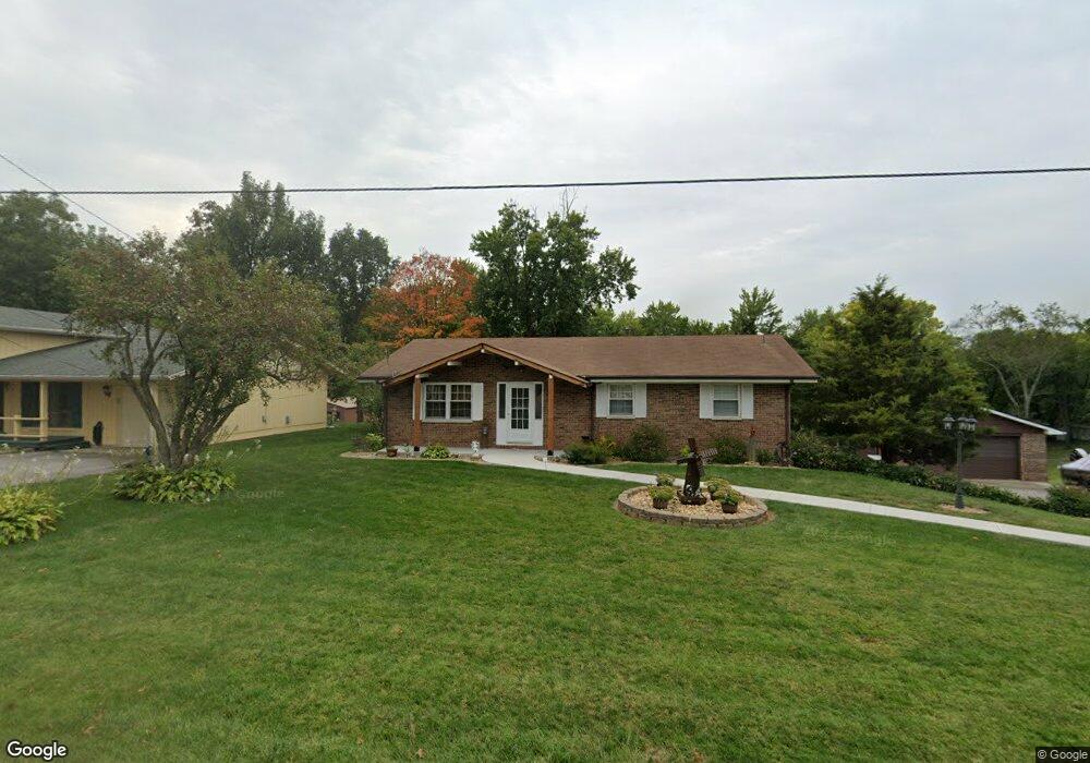
52 Eberhart Dr Caseyville, IL 62232
Estimated Value: $164,934 - $242,000
Studio
--
Bath
1,144
Sq Ft
$175/Sq Ft
Est. Value
About This Home
This home is located at 52 Eberhart Dr, Caseyville, IL 62232 and is currently estimated at $199,734, approximately $174 per square foot. 52 Eberhart Dr is a home located in St. Clair County with nearby schools including Twin Echo Elementary School, Dorris Intermediate School, and Collinsville Middle School.
Ownership History
Date
Name
Owned For
Owner Type
Purchase Details
Closed on
Jun 28, 2012
Sold by
Potts Calvin R and Potts Patricia A
Bought by
Knight Glenn A and Knight Erica R
Current Estimated Value
Home Financials for this Owner
Home Financials are based on the most recent Mortgage that was taken out on this home.
Original Mortgage
$108,007
Outstanding Balance
$16,753
Interest Rate
3.83%
Mortgage Type
FHA
Estimated Equity
$182,981
Purchase Details
Closed on
Nov 12, 2007
Sold by
Potts Lorna L
Bought by
Potts Calvin R and Potts Patricia A
Create a Home Valuation Report for This Property
The Home Valuation Report is an in-depth analysis detailing your home's value as well as a comparison with similar homes in the area
Home Values in the Area
Average Home Value in this Area
Purchase History
| Date | Buyer | Sale Price | Title Company |
|---|---|---|---|
| Knight Glenn A | $110,000 | Abstracts & Titles Inc | |
| Potts Calvin R | -- | None Available |
Source: Public Records
Mortgage History
| Date | Status | Borrower | Loan Amount |
|---|---|---|---|
| Open | Knight Glenn A | $108,007 |
Source: Public Records
Tax History
| Year | Tax Paid | Tax Assessment Tax Assessment Total Assessment is a certain percentage of the fair market value that is determined by local assessors to be the total taxable value of land and additions on the property. | Land | Improvement |
|---|---|---|---|---|
| 2024 | $2,670 | $48,945 | $3,404 | $45,541 |
| 2023 | $2,414 | $43,307 | $3,012 | $40,295 |
| 2022 | $2,162 | $39,710 | $2,952 | $36,758 |
| 2021 | $2,082 | $37,690 | $2,802 | $34,888 |
| 2020 | $2,048 | $35,703 | $2,655 | $33,048 |
| 2019 | $1,980 | $35,703 | $2,655 | $33,048 |
| 2018 | $1,957 | $35,128 | $2,838 | $32,290 |
| 2017 | $1,910 | $33,703 | $2,723 | $30,980 |
| 2016 | $1,918 | $32,943 | $2,662 | $30,281 |
| 2014 | $1,718 | $31,902 | $3,909 | $27,993 |
| 2013 | $1,770 | $32,490 | $3,981 | $28,509 |
Source: Public Records
Map
Nearby Homes
- 1029 Summer Ln
- 422 S Aurora St
- 106 Guinzy Hill
- 678 Prato Ct
- 1201 Pisa Dr
- 912 Dina Ave
- 110 Woods End
- 1128 Pisa Dr
- 121 S Seminary St
- 400 Willow Bend Ln
- 0 Walker Meadows Subdivision
- 0 Boreal Ridge Subdivision
- 7978 Boreal Ridge
- 660 Burroughs Ave
- 8038 Tahoe Ridge
- 0 Tahoe Ridge Subdivision
- 800 Cedar St
- 8009 Tahoe Ridge Ln
- 7919 N Illinois St
- 1109 Saint Clair Ave
- 48 Eberhart Dr
- 58 Eberhart Dr
- 49 Eberhart Dr
- 44 Eberhart Dr
- 2 Ambrosius Place
- 53 Eberhart Dr
- 62 Eberhart Dr
- 57 Eberhart Dr
- 1 Ambrosius Place
- 40 Eberhart Dr
- 6 Ambrosius Place
- 8 Ambrosius Place
- 66 Eberhart Dr
- 10 Ambrosius Place
- 5 Ambrosius Place
- 71 Eberhart Dr
- 36 Eberhart Dr
- 2 Claydale Place
- 4 Claydale Place
- 11 Ambrosius Place
Your Personal Tour Guide
Ask me questions while you tour the home.