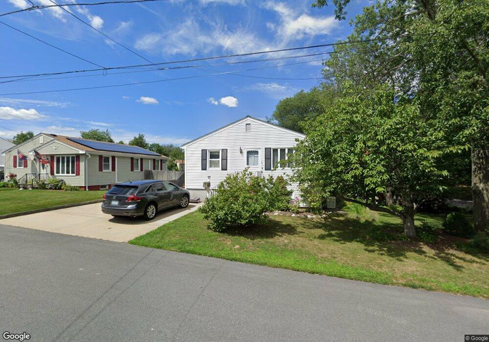
52 Fairfield Ave Riverside, RI 02915
Kent Heights NeighborhoodEstimated Value: $387,642 - $422,000
3
Beds
1
Bath
976
Sq Ft
$419/Sq Ft
Est. Value
About This Home
This home is located at 52 Fairfield Ave, Riverside, RI 02915 and is currently estimated at $408,911, approximately $418 per square foot. 52 Fairfield Ave is a home located in Providence County with nearby schools including East Providence High School, St Mary Academy-Bay View, and The Gordon School.
Ownership History
Date
Name
Owned For
Owner Type
Purchase Details
Closed on
Jul 27, 2021
Sold by
Arruda Antonio and Arruda Maria G
Bought by
Arruda Familty Rlty Lt and Arruda
Current Estimated Value
Purchase Details
Closed on
Mar 25, 1985
Bought by
Arruda Antonio and Arruda Maria G
Create a Home Valuation Report for This Property
The Home Valuation Report is an in-depth analysis detailing your home's value as well as a comparison with similar homes in the area
Home Values in the Area
Average Home Value in this Area
Purchase History
| Date | Buyer | Sale Price | Title Company |
|---|---|---|---|
| Arruda Familty Rlty Lt | -- | None Available | |
| Arruda Familty Rlty Lt | -- | None Available | |
| Arruda Antonio | -- | -- |
Source: Public Records
Mortgage History
| Date | Status | Borrower | Loan Amount |
|---|---|---|---|
| Previous Owner | Arruda Antonio | $100,000 | |
| Previous Owner | Arruda Antonio | $77,000 | |
| Previous Owner | Arruda Antonio | $75,000 | |
| Previous Owner | Arruda Antonio | $60,000 |
Source: Public Records
Tax History
| Year | Tax Paid | Tax Assessment Tax Assessment Total Assessment is a certain percentage of the fair market value that is determined by local assessors to be the total taxable value of land and additions on the property. | Land | Improvement |
|---|---|---|---|---|
| 2025 | $4,723 | $361,400 | $120,700 | $240,700 |
| 2024 | $4,640 | $302,700 | $100,600 | $202,100 |
| 2023 | $4,468 | $302,700 | $100,600 | $202,100 |
| 2022 | $4,195 | $191,900 | $54,600 | $137,300 |
| 2021 | $4,126 | $191,900 | $54,600 | $137,300 |
| 2020 | $3,951 | $191,900 | $54,600 | $137,300 |
| 2019 | $3,842 | $191,900 | $54,600 | $137,300 |
| 2018 | $4,015 | $175,500 | $55,700 | $119,800 |
| 2017 | $3,926 | $175,500 | $55,700 | $119,800 |
| 2016 | $3,907 | $175,500 | $55,700 | $119,800 |
| 2015 | $3,686 | $160,600 | $49,100 | $111,500 |
| 2014 | $3,686 | $160,600 | $49,100 | $111,500 |
Source: Public Records
Map
Nearby Homes
- 2941 Pawtucket Ave
- 53 Wampanoag Trail
- 42 Mountain Ave
- 34 Commack Rd
- 180 Grassmere Ave
- 14 Maxfield Ave
- 77 Gardiner Ave
- 74 Brookhaven Dr
- 177 Dover Ave
- 151 Dover Ave
- 6 Fuller Ave
- 25 Bullocks Point Ave Unit 5C
- 33 Bullocks Point Ave Unit 5C
- 43 Bullocks Point Ave Unit 4A
- 378 Juniper St
- 151 Willett Ave Unit 2
- 25 Ingraham St
- 210 N County St
- 41 Follett St
- 58 Swan St
Your Personal Tour Guide
Ask me questions while you tour the home.