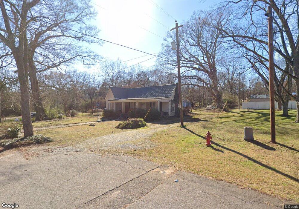
52 Fourth St Carlton, GA 30627
Estimated Value: $114,000 - $235,000
2
Beds
2
Baths
1,349
Sq Ft
$132/Sq Ft
Est. Value
About This Home
This home is located at 52 Fourth St, Carlton, GA 30627 and is currently estimated at $178,290, approximately $132 per square foot. 52 Fourth St is a home located in Madison County with nearby schools including Madison County High School.
Ownership History
Date
Name
Owned For
Owner Type
Purchase Details
Closed on
Jun 16, 2010
Sold by
Synovus Bank
Bought by
Parthun Kenneth and Parthun Anita
Current Estimated Value
Purchase Details
Closed on
Dec 1, 2009
Sold by
Casey Werner Wayne
Bought by
Afb
Purchase Details
Closed on
Jun 9, 2004
Sold by
Seymour Charlie Alfred
Bought by
Casey Werner Wayne
Purchase Details
Closed on
Apr 4, 2000
Sold by
Seymour Charlie Alfr
Bought by
Seymour Charlie Alfred
Purchase Details
Closed on
Jan 1, 1969
Bought by
Seymour Charlie Alfr
Create a Home Valuation Report for This Property
The Home Valuation Report is an in-depth analysis detailing your home's value as well as a comparison with similar homes in the area
Home Values in the Area
Average Home Value in this Area
Purchase History
| Date | Buyer | Sale Price | Title Company |
|---|---|---|---|
| Parthun Kenneth | $30,000 | -- | |
| Afb | $82,000 | -- | |
| Casey Werner Wayne | $63,000 | -- | |
| Seymour Charlie Alfred | -- | -- | |
| Seymour Charlie Alfr | -- | -- |
Source: Public Records
Tax History Compared to Growth
Tax History
| Year | Tax Paid | Tax Assessment Tax Assessment Total Assessment is a certain percentage of the fair market value that is determined by local assessors to be the total taxable value of land and additions on the property. | Land | Improvement |
|---|---|---|---|---|
| 2025 | $775 | $27,908 | $7,657 | $20,251 |
| 2024 | $780 | $27,363 | $7,657 | $19,706 |
| 2023 | $713 | $24,997 | $6,381 | $18,616 |
| 2022 | $532 | $21,182 | $4,387 | $16,795 |
| 2021 | $610 | $17,887 | $4,387 | $13,500 |
| 2020 | $502 | $17,249 | $3,749 | $13,500 |
| 2019 | $564 | $16,277 | $3,190 | $13,087 |
| 2018 | $566 | $16,277 | $3,190 | $13,087 |
| 2017 | $581 | $18,074 | $3,190 | $14,884 |
| 2016 | $528 | $16,326 | $2,900 | $13,426 |
| 2015 | $490 | $16,326 | $2,900 | $13,426 |
| 2014 | $495 | $16,451 | $2,610 | $13,840 |
| 2013 | -- | $16,451 | $2,610 | $13,840 |
Source: Public Records
Map
Nearby Homes
- 670 S Railroad Ave
- 88 S Railroad Ave
- 724 Bertha Willis Rd
- 6367 Highway 72 E
- 6476 Georgia 72
- 667 Paoli Rd
- 376 Paoli Rd
- 3614 Georgia 72
- 600 Piney Grove Rd
- 0 Broad River Rd Unit 10650042
- 00 River Rd
- 0 Berkley Rd Unit 10545423
- 0 River Rd Unit 10639917
- 730 Osley Mill Rd
- 474 Watson Mill
- 490 Watson Mill
- 1163 Nickville Rd
- 219 Piney Grove Rd
- 754 Highway 72 E
- 52 4th St
- 904 S Railroad Ave
- 68 4th St
- 51 Fourth St
- 884 S Railroad Ave
- 948 S Railroad Ave
- 836 S Railroad Ave
- 1010 S Railroad Ave
- 5391 Highway 72 E
- 790 S Railroad Ave
- 5391 Highway 72 E
- 817 S Railroad Ave
- BlockH/L S Railroad Ave
- 6433 Georgia 72
- S S Railroad Ave
- 5303 Highway 72 E
- 56 Church St
- 28 Church St
- 27 North St