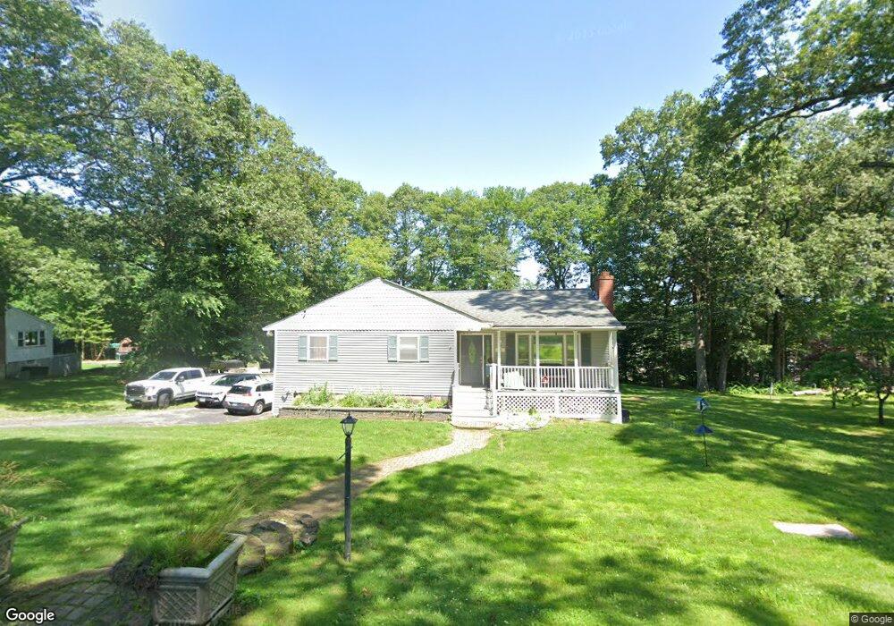
52 Francis Dr Seymour, CT 06483
Estimated Value: $393,000 - $450,000
3
Beds
1
Bath
1,152
Sq Ft
$355/Sq Ft
Est. Value
About This Home
This home is located at 52 Francis Dr, Seymour, CT 06483 and is currently estimated at $409,166, approximately $355 per square foot. 52 Francis Dr is a home located in New Haven County with nearby schools including Bungay Elementary School, Seymour Middle School, and Seymour High School.
Ownership History
Date
Name
Owned For
Owner Type
Purchase Details
Closed on
Apr 4, 1996
Sold by
Baclawski Jan A and Baclawski Rosemary A
Bought by
Forsyth James T and Forsyth Kelly J
Current Estimated Value
Create a Home Valuation Report for This Property
The Home Valuation Report is an in-depth analysis detailing your home's value as well as a comparison with similar homes in the area
Home Values in the Area
Average Home Value in this Area
Purchase History
| Date | Buyer | Sale Price | Title Company |
|---|---|---|---|
| Forsyth James T | $141,500 | -- | |
| Forsyth James T | $141,500 | -- |
Source: Public Records
Mortgage History
| Date | Status | Borrower | Loan Amount |
|---|---|---|---|
| Open | Forsyth James T | $191,000 | |
| Closed | Forsyth James T | $188,000 | |
| Closed | Forsyth James T | $20,000 |
Source: Public Records
Tax History Compared to Growth
Tax History
| Year | Tax Paid | Tax Assessment Tax Assessment Total Assessment is a certain percentage of the fair market value that is determined by local assessors to be the total taxable value of land and additions on the property. | Land | Improvement |
|---|---|---|---|---|
| 2025 | $6,549 | $236,250 | $51,520 | $184,730 |
| 2024 | $5,869 | $159,320 | $47,810 | $111,510 |
| 2023 | $5,732 | $159,320 | $47,810 | $111,510 |
| 2022 | $5,670 | $159,320 | $47,810 | $111,510 |
| 2021 | $5,530 | $159,320 | $47,810 | $111,510 |
| 2020 | $5,489 | $152,460 | $56,280 | $96,180 |
| 2019 | $5,489 | $152,460 | $56,280 | $96,180 |
| 2018 | $5,489 | $152,460 | $56,280 | $96,180 |
| 2017 | $5,489 | $152,460 | $56,280 | $96,180 |
| 2016 | $5,489 | $152,460 | $56,280 | $96,180 |
| 2015 | $5,465 | $157,990 | $59,220 | $98,770 |
| 2014 | $5,378 | $157,990 | $59,220 | $98,770 |
Source: Public Records
Map
Nearby Homes
- 22 Frances Dr
- 4 Brook St
- 28 Brook St
- 11 Oxford Rd
- 41 Balance Rock Rd Unit 16
- 92 Balance Rock Rd Unit 9
- 26 Balance Rock Rd Unit 16
- 9 Stanley Dr
- 30 Park Rd
- 37-14, 49-1, 79-2, 7 Balance Rock Rd
- 6 Park Rd
- 121 Moose Hill Rd
- 202 W Church St
- 61 Pershing Ave
- 36 Bungay Terrace
- 29 George St
- 55 Tram Dr
- Parcel B Old Moose Hill Rd
- Parcel A Old Moose Hill Rd
- 4 Nickel Mine Dr