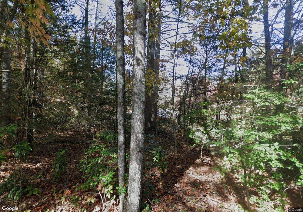
52 Harrell Mauney Rd Blairsville, GA 30512
Ivylog NeighborhoodEstimated Value: $642,000 - $897,062
3
Beds
4
Baths
2,924
Sq Ft
$263/Sq Ft
Est. Value
About This Home
This home is located at 52 Harrell Mauney Rd, Blairsville, GA 30512 and is currently estimated at $767,687, approximately $262 per square foot. 52 Harrell Mauney Rd is a home located in Union County with nearby schools including Union County Primary School, Union County Elementary School, and Union County Middle School.
Ownership History
Date
Name
Owned For
Owner Type
Purchase Details
Closed on
May 10, 2013
Sold by
Grubbs Jared Matthew
Bought by
Grubbs Kaylon D and Grubbs Amelia
Current Estimated Value
Purchase Details
Closed on
Oct 7, 2011
Sold by
Fannie Mae
Bought by
Grubbs Jared Matthew
Purchase Details
Closed on
Jul 5, 2011
Sold by
Bank Of America Na
Bought by
Federal National Mortgage Association
Purchase Details
Closed on
Jan 31, 2006
Sold by
Nolan Dena
Bought by
Boyd Steven W and Boyd Eileen T
Home Financials for this Owner
Home Financials are based on the most recent Mortgage that was taken out on this home.
Original Mortgage
$243,000
Interest Rate
6.14%
Mortgage Type
New Conventional
Purchase Details
Closed on
Mar 22, 1989
Bought by
Nanco Holdings Inc
Create a Home Valuation Report for This Property
The Home Valuation Report is an in-depth analysis detailing your home's value as well as a comparison with similar homes in the area
Home Values in the Area
Average Home Value in this Area
Purchase History
| Date | Buyer | Sale Price | Title Company |
|---|---|---|---|
| Grubbs Kaylon D | -- | -- | |
| Grubbs Jared Matthew | $150,000 | -- | |
| Federal National Mortgage Association | $239,619 | -- | |
| Bank Of America Na | $239,619 | -- | |
| Boyd Steven W | $405,000 | -- | |
| Nanco Holdings Inc | $222,700 | -- |
Source: Public Records
Mortgage History
| Date | Status | Borrower | Loan Amount |
|---|---|---|---|
| Previous Owner | Boyd Steven W | $243,000 |
Source: Public Records
Tax History Compared to Growth
Tax History
| Year | Tax Paid | Tax Assessment Tax Assessment Total Assessment is a certain percentage of the fair market value that is determined by local assessors to be the total taxable value of land and additions on the property. | Land | Improvement |
|---|---|---|---|---|
| 2024 | $2,342 | $339,000 | $163,800 | $175,200 |
| 2023 | $2,586 | $335,280 | $163,800 | $171,480 |
| 2022 | $2,110 | $277,200 | $139,360 | $137,840 |
| 2021 | $2,038 | $129,320 | $22,000 | $107,320 |
| 2020 | $1,577 | $83,342 | $14,810 | $68,532 |
| 2019 | $1,491 | $83,342 | $14,810 | $68,532 |
| 2018 | $1,464 | $83,342 | $14,810 | $68,532 |
| 2017 | $1,464 | $83,342 | $14,810 | $68,532 |
| 2016 | $2,179 | $124,005 | $55,473 | $68,532 |
| 2015 | $2,198 | $124,005 | $55,473 | $68,532 |
| 2013 | -- | $95,249 | $55,473 | $39,776 |
Source: Public Records
Map
Nearby Homes
- 264 Chimney Ridge
- 58 Sawyer Ln
- 101 Christian Ct
- 112 Big Knoll Dr
- 16 Antioch Church Rd
- 3637 Murphy Hwy
- 175 Loblolly Ln
- 83 Boxborough Dr
- 36 Loftis Mtn Way Unit LOT 36
- 36 Loftis Mountain Way
- 11 Falcon Dr
- 64 Guy Ln
- Lot 24 Loftis Mountain Way
- LOT 228 the Cove at Thirteen Hundred
- 0 The Landing Unit 415661
- Lot 2 Serenity Ridge Ln
- Lot 1 Serenity Ridge Ln
- Lot 1 Serenity Dr
- 37 Loftis Mountain
- Lot 29 Loftis Mountain
- 3359 Harrell Mauney Rd
- 172 Carey Rd
- 12.01 Harrell Mauney Rd
- TR 1A Harrell Mauney Rd
- 81 Addison Ln
- 4573 Murphy Hwy
- 86 Carey Rd
- 6 Addison Ln
- 75 Harrell Mauney Rd
- 32 Harrell Mauney Rd
- 74 George Rd
- 4513 Murphy Hwy
- 164 Stonehenge Dr
- 168 Stonehenge Dr
- 168 Stonehenge Dr
- 4395 Murphy Hwy
- 0 Harrell Mauney Rd Unit 7372191
- 0 Harrell Mauney Rd Unit 8139090
- 0 Harrell Mauney Rd Unit 3198380
- 6 Caldwell Rd
