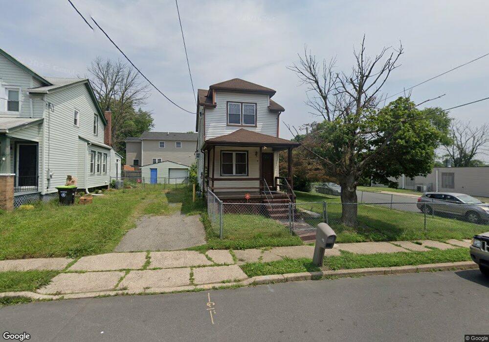
52 Homestead Ave Ewing, NJ 08638
Prospect NeighborhoodEstimated Value: $151,000 - $267,000
Studio
--
Bath
1,054
Sq Ft
$197/Sq Ft
Est. Value
About This Home
This home is located at 52 Homestead Ave, Ewing, NJ 08638 and is currently estimated at $207,967, approximately $197 per square foot. 52 Homestead Ave is a home located in Mercer County with nearby schools including Ewing High School and Islamic School Of Trenton/Al-Bayaan Academy.
Ownership History
Date
Name
Owned For
Owner Type
Purchase Details
Closed on
Aug 5, 2004
Sold by
Johnson Aaron
Bought by
Dean Amos
Current Estimated Value
Home Financials for this Owner
Home Financials are based on the most recent Mortgage that was taken out on this home.
Original Mortgage
$120,785
Interest Rate
5.84%
Mortgage Type
FHA
Create a Home Valuation Report for This Property
The Home Valuation Report is an in-depth analysis detailing your home's value as well as a comparison with similar homes in the area
Home Values in the Area
Average Home Value in this Area
Purchase History
| Date | Buyer | Sale Price | Title Company |
|---|---|---|---|
| Dean Amos | $123,000 | -- |
Source: Public Records
Mortgage History
| Date | Status | Borrower | Loan Amount |
|---|---|---|---|
| Previous Owner | Dean Amos | $120,785 |
Source: Public Records
Tax History
| Year | Tax Paid | Tax Assessment Tax Assessment Total Assessment is a certain percentage of the fair market value that is determined by local assessors to be the total taxable value of land and additions on the property. | Land | Improvement |
|---|---|---|---|---|
| 2025 | $2,895 | $73,600 | $19,000 | $54,600 |
| 2024 | $2,721 | $73,600 | $19,000 | $54,600 |
| 2023 | $2,721 | $73,600 | $19,000 | $54,600 |
| 2022 | $2,647 | $73,600 | $19,000 | $54,600 |
| 2021 | $2,583 | $73,600 | $19,000 | $54,600 |
| 2020 | $2,546 | $73,600 | $19,000 | $54,600 |
| 2019 | $2,480 | $73,600 | $19,000 | $54,600 |
| 2018 | $2,916 | $55,200 | $12,000 | $43,200 |
| 2017 | $2,984 | $55,200 | $12,000 | $43,200 |
| 2016 | $2,943 | $55,200 | $12,000 | $43,200 |
| 2015 | $2,904 | $55,200 | $12,000 | $43,200 |
| 2014 | $2,896 | $55,200 | $12,000 | $43,200 |
Source: Public Records
Map
Nearby Homes
- 131 Stokes Ave
- 16 Clover Ave
- 21 Short St
- 1017 Southard St
- 0 Dryden Ave
- 100 Homecrest Ave
- 108 Homecrest Ave
- 31 Alden Ave
- 341 Stokes Ave
- 805 Prospect St
- 34 Arlington Ave
- 1012 N Willow St
- 803 Pennington Ave
- 125 New Rose St
- 957 Martin Luther King jr Blvd
- 124 New Hillcrest Ave
- 135 Fountain Ave
- 257 Homecrest Ave
- 23 Race St
- 111 Huff Ave
- 44 Homestead Ave
- 113 Robbins Ave
- 115 Robbins Ave
- 117 Robbins Ave
- 110 Hazel Ave
- 40 Homestead Ave
- 108 Robbins Ave
- 36 Homestead Ave
- 118 Robbins Ave
- 125 Robbins Ave
- 34 Homestead Ave
- 111 Hazel Ave
- 124 Hazel Ave
- 109 Hazel Ave
- 32 Homestead Ave
- 124 Robbins Ave
- 117 Stokes Ave
- 131 Robbins Ave
- 119 Stokes Ave
- 121 Stokes Ave
Your Personal Tour Guide
Ask me questions while you tour the home.